geo.wikisort.org - Mountains
Garsellakopf is a mountain on the border of Liechtenstein and Austria in the Rätikon range of the Eastern Alps to the east of the town of Schaan, with a height of 2,105 metres (6,906 ft).
| Garsellakopf | |
|---|---|
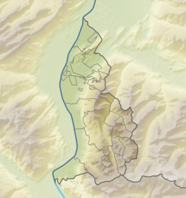 Garsellakopf Location in Liechtenstein, on the border with Austria | |
| Highest point | |
| Elevation | 2,105 m (6,906 ft) |
| Isolation | 0.47 km (0.29 mi) |
| Coordinates | 47°10′13″N 9°33′53″E |
| Geography | |
| Location | Liechtenstein / Austria |
| Parent range | Rätikon, Alps |
References
- Unfolding Liechtenstein, Panorama Map (Map). Liechtenstein Tourismus. 2007.
- Feldkirch - Vaduz (Map). 1:50000. Wander, Bike- und Skitourenkarte. Cartography by Kompass-Karten GmbH. Kompass. 2007.
This Liechtenstein location article is a stub. You can help Wikipedia by expanding it. |
На других языках
[de] Garsellikopf
Der Garsellikopf oder Garsellakopf ist ein 2105 m hoher Berg auf der Grenze zwischen Liechtenstein und Österreich. Er ist der zweithöchste Gipfel in der Drei-Schwestern-Kette nach dem Kuegrat. Von ihm fällt ein langer Grat, auf dem zahlreiche Türme (die Garsellitürme) sitzen, ins Saminatal nach Osten ab. Am Nordfuß dieses Grates liegt die nicht mit Kraftfahrzeugen erreichbare, abgelegene Garsellialpe.- [en] Garsellakopf
[ru] Гарзеллакопф
Гарзеллакопф (нем. Garsellakopf) — гора на границе Лихтенштейна и Австрии в горном хребте Рэтикон, расположенная к востоку от города Шан. Высота — 2 105 м.Текст в блоке "Читать" взят с сайта "Википедия" и доступен по лицензии Creative Commons Attribution-ShareAlike; в отдельных случаях могут действовать дополнительные условия.
Другой контент может иметь иную лицензию. Перед использованием материалов сайта WikiSort.org внимательно изучите правила лицензирования конкретных элементов наполнения сайта.
Другой контент может иметь иную лицензию. Перед использованием материалов сайта WikiSort.org внимательно изучите правила лицензирования конкретных элементов наполнения сайта.
2019-2026
WikiSort.org - проект по пересортировке и дополнению контента Википедии
WikiSort.org - проект по пересортировке и дополнению контента Википедии