geo.wikisort.org - Mountains
Fokstuguhøi is a mountain in Dovre Municipality in Innlandet county, Norway. The 1,600-metre (5,200 ft) tall mountain is located in the Dovrefjell mountains and inside the Dovre National Park, about 12 kilometres (7.5 mi) east of the village of Dombås. The mountain is surrounded by several other notable mountains including Storhøe to the east, Halvfarhøe and Gråhøe to the northeast, and Falketind and Blåberget to the north-northeast.[1]
| Fokstuguhøi | |
|---|---|
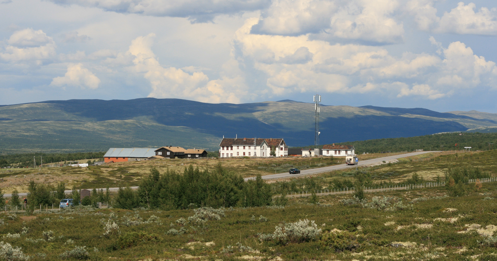 View of Fokstuguhøi and the mountain lodge | |
| Highest point | |
| Elevation | 1,600 m (5,200 ft)[1] |
| Prominence | 43 m (141 ft)[1] |
| Parent peak | Storhøe |
| Isolation | 1.2 km (0.75 mi)[1] |
| Coordinates | 62°05′06″N 9°20′51″E[2] |
| Geography | |
 Fokstuguhøi Location of the mountain  Fokstuguhøi Fokstuguhøi (Norway) | |
| Location | Innlandet, Norway |
| Parent range | Dovrefjell |
Climate
The village of Fokstugu sits at an elevation of 973 metres (3,192 ft) above sea level. The climate around the village is borderline Subarctic climate (Dfc). Although the wet season is in summer, the driest time of year is in late spring. An extra 3 millimetres (0.12 in) in October would give it 3 times the precipitation of April. This would make Fokstugu a Subarctic climate (Dsc). The warmest month, July, has an average of only 10.2 °C (50.4 °F) making it on the border with a tundra climate (Et).
| Climate data for Fokstugu 1961-1990, extremes 1965-2011 | |||||||||||||
|---|---|---|---|---|---|---|---|---|---|---|---|---|---|
| Month | Jan | Feb | Mar | Apr | May | Jun | Jul | Aug | Sep | Oct | Nov | Dec | Year |
| Record high °C (°F) | 8.8 (47.8) |
8.1 (46.6) |
8.9 (48.0) |
15.2 (59.4) |
22.0 (71.6) |
25.4 (77.7) |
26.8 (80.2) |
26.8 (80.2) |
22.5 (72.5) |
18.3 (64.9) |
11.4 (52.5) |
6.4 (43.5) |
26.8 (80.2) |
| Average high °C (°F) | −5.5 (22.1) |
−5.0 (23.0) |
−2.3 (27.9) |
1.4 (34.5) |
8.6 (47.5) |
13.4 (56.1) |
14.8 (58.6) |
13.7 (56.7) |
8.3 (46.9) |
3.7 (38.7) |
−2.1 (28.2) |
−3.9 (25.0) |
3.8 (38.8) |
| Average low °C (°F) | −11.7 (10.9) |
−11.5 (11.3) |
−9.3 (15.3) |
−5.7 (21.7) |
0.3 (32.5) |
4.0 (39.2) |
5.7 (42.3) |
5.2 (41.4) |
1.3 (34.3) |
−2.1 (28.2) |
−7.8 (18.0) |
−10.2 (13.6) |
−3.5 (25.7) |
| Record low °C (°F) | −32.4 (−26.3) |
−29.2 (−20.6) |
−24.8 (−12.6) |
−17.3 (0.9) |
−12.5 (9.5) |
−6.0 (21.2) |
−2.9 (26.8) |
−5.7 (21.7) |
−9.5 (14.9) |
−16.0 (3.2) |
−23.5 (−10.3) |
−29.5 (−21.1) |
−32.4 (−26.3) |
| Average precipitation mm (inches) | 28 (1.1) |
24 (0.9) |
23 (0.9) |
14 (0.6) |
26 (1.0) |
54 (2.1) |
68 (2.7) |
58 (2.3) |
42 (1.7) |
39 (1.5) |
29 (1.1) |
30 (1.2) |
435 (17.1) |
| Average precipitation days | 8.9 | 6.1 | 6.5 | 5.0 | 6.0 | 9.6 | 10.8 | 10.0 | 9.1 | 7.9 | 8.1 | 8.6 | 96.6 |
| Source: Met Norway Eklima | |||||||||||||
See also
- List of mountains of Norway
References
- "Fokstuguhøe". PeakVisor.com. Retrieved 15 April 2022.
- "Fokstuguhøe, Dovre" (in Norwegian). yr.no. Retrieved 15 April 2022.
This article about a mountain, mountain range, or peak in Innlandet is a stub. You can help Wikipedia by expanding it. |
На других языках
[de] Fokstuhøe
Der Fokstuhøe[1] (auch Fokstuguhøe oder Fokstuguhøi) ist ein 1716 moh.[2] hoher Berg in Norwegen. Er stellt den höchsten Berg im Dovre-Nationalpark dar,[1] liegt in der Provinz Innlandet und gehört zur Gemeinde Dovre. Die Schartenhöhe des Berges beträgt 605 m.[2] Die Dominanz zum nächsthöheren Berg, zum Westrücken des Stygghøin,[2] beträgt 19,7 km.[3]- [en] Fokstuguhøi
Другой контент может иметь иную лицензию. Перед использованием материалов сайта WikiSort.org внимательно изучите правила лицензирования конкретных элементов наполнения сайта.
WikiSort.org - проект по пересортировке и дополнению контента Википедии