geo.wikisort.org - Mountains
Fløya or Fløyfjellet is a mountain adjacent to the town of Svolvær in Vågan Municipality in Nordland county, Norway. The 590-metre (1,940 ft) tall mountain is located near the southeastern shore of the island of Austvågøya in the Lofoten archipelago.
| Fløyfjellet | |
|---|---|
| Fløya Svålen (historic) | |
 Fløyfjellet seen from Svolvær | |
| Highest point | |
| Elevation | 590 m (1,940 ft)[1] |
| Coordinates | 68.2483°N 14.6012°E[1] |
| Geography | |
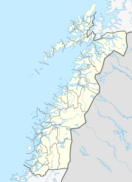 Fløyfjellet Location of the mountain  Fløyfjellet Fløyfjellet (Norway) | |
| Location | Nordland, Norway |
| Parent range | Lofoten |
The mountain was historically called Svålen or Svolen and now that name usually refers to one of the lower peaks on the east side of the mountain.[2]
The mountain is popular among climbers, in particular Svolværgeita, a 150 m (490 ft) high pinnacle at the southern face of Fløya, which resembles a goat with two horns.[3][4]
References
- "Fløya, Vågan (Nordland)" (in Norwegian). yr.no. Retrieved 2018-12-20.
- "Svolen, Vågan (Nordland)" (in Norwegian). yr.no. Retrieved 2018-12-20.
- Webster, Ed (1994). Climbing in the Magic Islands. A climbing and hiking guidebook to the Lofoten Islands of Norway. Henningsvær: Nord Norsk Klatreskole. p. 194.
- Evensen, Knut Harald, ed. (2010). NAF Veibok 2010–2012 (in Norwegian) (29 ed.). Oslo: Norwegian Automobile Federation. pp. 107, 668, 669.
This article about a mountain, mountain range, or peak in Nordland is a stub. You can help Wikipedia by expanding it. |
Текст в блоке "Читать" взят с сайта "Википедия" и доступен по лицензии Creative Commons Attribution-ShareAlike; в отдельных случаях могут действовать дополнительные условия.
Другой контент может иметь иную лицензию. Перед использованием материалов сайта WikiSort.org внимательно изучите правила лицензирования конкретных элементов наполнения сайта.
Другой контент может иметь иную лицензию. Перед использованием материалов сайта WikiSort.org внимательно изучите правила лицензирования конкретных элементов наполнения сайта.
2019-2026
WikiSort.org - проект по пересортировке и дополнению контента Википедии
WikiSort.org - проект по пересортировке и дополнению контента Википедии