geo.wikisort.org - Mountains
Fatumasin is a mountain in the district of Liquiçá in East Timor, a country occupying the eastern end of the island of Timor in the Lesser Sunda Islands of Wallacea. The surrounding forest is called Hutan Gunung Maelulu in Indonesian. It is a 13,618 ha mountain forest (or forested mountain) and forms one of the country's Important Bird Areas.
| Fatumasin | |
|---|---|
| Gunung Maelulu | |
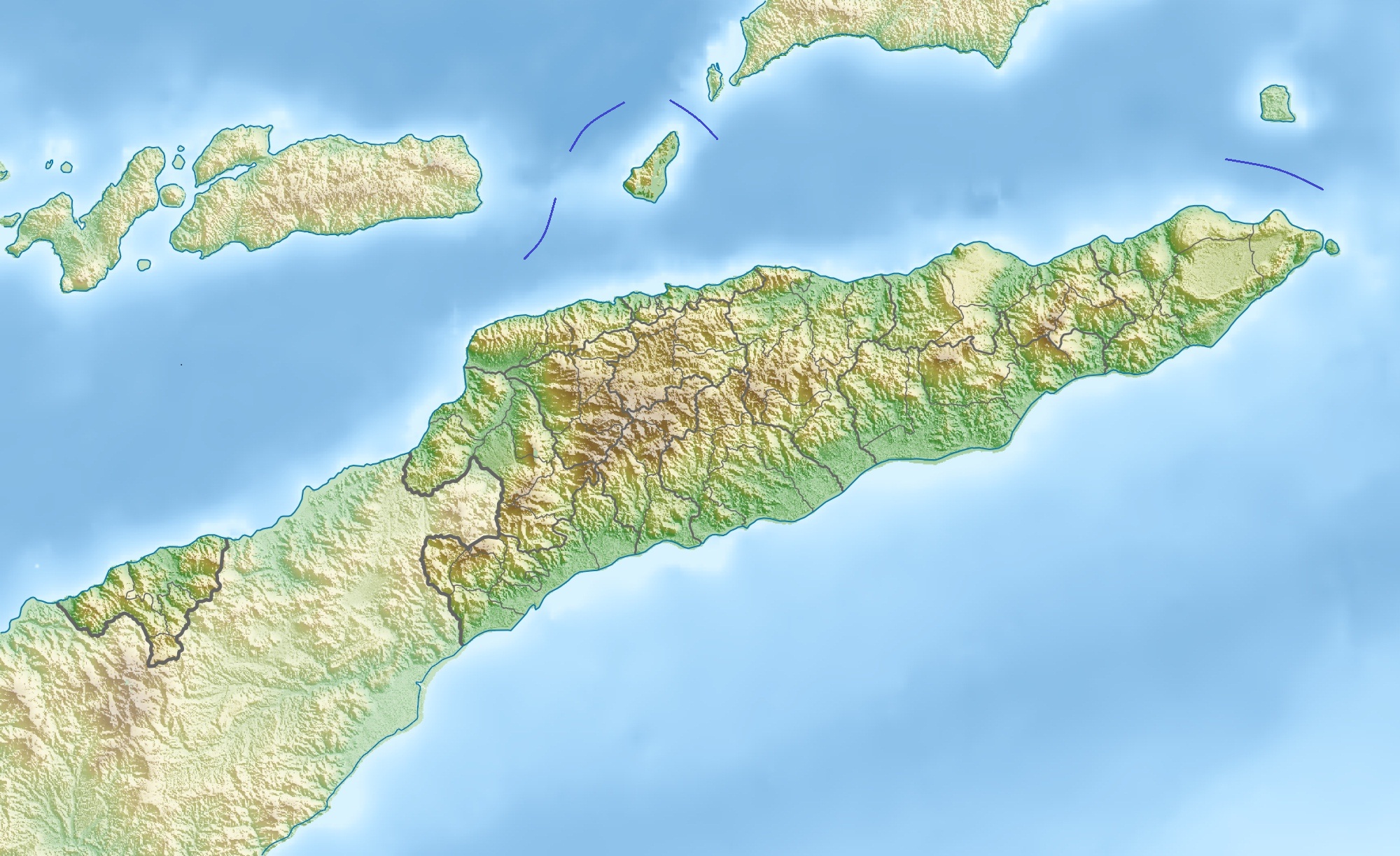 Fatumasin Location in East Timor | |
| Highest point | |
| Elevation | 1,369 m (4,491 ft)[1] |
| Coordinates | 08°40′00″S 125°22′00″E |
| Geography | |
| Location | Liquiçá District, East Timor |
Description
The mountain stands about 26 km south-west of the national capital of Dili. The forest ranges in elevation from about 800 m upwards to the 1369 m summit. The underlying rocks are non-calcareous and the forest is considered to be more species-rich than most others on the island.[1]
Birds
The site has been identified by BirdLife International as an Important Bird Area (IBA) because it supports populations of bar-necked cuckoo-doves, pink-headed imperial pigeons, yellow-crested cockatoos, jonquil parrots, streak-breasted honeyeaters, Timor friarbirds, black-breasted myzomelas, plain gerygones, fawn-breasted whistlers, green figbirds, olive-brown orioles, Timor stubtails, Timor leaf warblers, orange-sided thrushes, Timor blue flycatchers, blue-cheeked flowerpeckers and flame-breasted sunbirds.[1]
See also
- List of Important Bird Areas in East Timor
References
- "Fatumasin". Important Bird Areas factsheet. BirdLife International. 2014. Archived from the original on 2007-07-10. Retrieved 2014-03-21.
This East Timor location article is a stub. You can help Wikipedia by expanding it. |
На других языках
[de] Fatumasin
Der Fatumasin (Fatu Masin,[1] Fantumasin) ist ein Berg im Suco Leorema (Verwaltungsamt Bazartete, Gemeinde Liquiçá, Osttimor). Seine Höhe beträgt je nach Quelle 1369 m[2] oder 1180 m.[1]- [en] Fatumasin
Другой контент может иметь иную лицензию. Перед использованием материалов сайта WikiSort.org внимательно изучите правила лицензирования конкретных элементов наполнения сайта.
WikiSort.org - проект по пересортировке и дополнению контента Википедии