geo.wikisort.org - Mountains
At 210 metres, Duncliffe Hill is one of the highest hills in the Blackmore Vale region in the county of Dorset, England.
| Duncliffe Hill | |
|---|---|
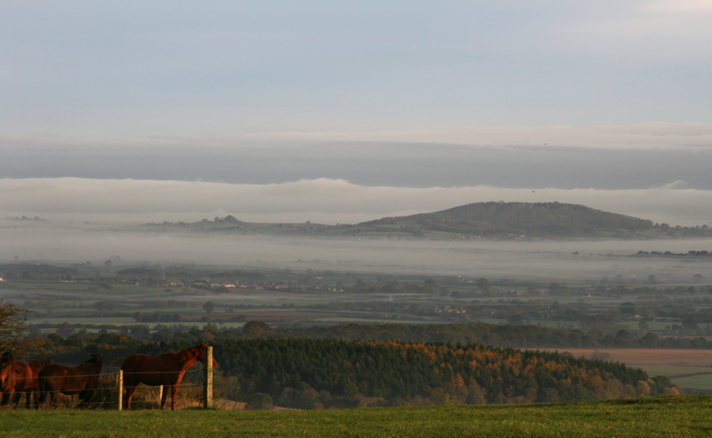 Duncliffe Hill rising above the fog in the Blackmore Vale | |
| Highest point | |
| Elevation | 210 m (690 ft)[1] |
| Prominence | 96 m (315 ft)[1] |
| Parent peak | Win Green[1] |
| Coordinates | 51°00′08″N 2°14′57″W |
| Geography | |
| Location | Blackmore Vale, Dorset, England |
| Parent range | Isolated hill |
| OS grid | ST826226 |
| Topo map | OS Landranger 183, Explorer 129 |
Location
Duncliffe Hill rises from the surrounding lowland about 2 miles west of Shaftesbury in the Blackmore Vale and is visible miles away in Wiltshire and Somerset.[2] It is a flattened, conical hill whose slopes are covered by Duncliffe Wood on three sides, but are open to the north. There are several trails through the woods, some leading to the summit where there is a trig point. The wood is a bird reserve. The A30 main road passes by the foot of the hill to the north.[3]
References
- Summit Listings by Relative Height by Jonathan de Ferranti. Accessed on 27 Mar 2013.
- The Blackmore Vale at www.westcountrygenealogy.com. Accessed on 28 Mar 2013.
- Ordnance Survey 1:50,000 Landranger series, No. 183.
Wikimedia Commons has media related to Duncliffe Hill.
Текст в блоке "Читать" взят с сайта "Википедия" и доступен по лицензии Creative Commons Attribution-ShareAlike; в отдельных случаях могут действовать дополнительные условия.
Другой контент может иметь иную лицензию. Перед использованием материалов сайта WikiSort.org внимательно изучите правила лицензирования конкретных элементов наполнения сайта.
Другой контент может иметь иную лицензию. Перед использованием материалов сайта WikiSort.org внимательно изучите правила лицензирования конкретных элементов наполнения сайта.
2019-2025
WikiSort.org - проект по пересортировке и дополнению контента Википедии
WikiSort.org - проект по пересортировке и дополнению контента Википедии