geo.wikisort.org - Mountains
Duivelsberg (German: Wylerberg or Teufelsberg, which literally translates to 'the devil's mountain') is a hill and nature reserve in the municipality of Berg en Dal in the Dutch province of Gelderland, near the border with Germany (North Rhine-Westphalia). It is politically significant, however, because Duivelsberg is the only part of the Netherlands that was both annexed from Germany and retained after World War II.
| Duivelsberg | |
|---|---|
| Wylerberg | |
 | |
| Highest point | |
| Elevation | 75.9 metres |
| Coordinates | 51°49′13″N 5°56′37″E |
| Geography | |
 Duivelsberg Gelderland, Netherlands | |
Location
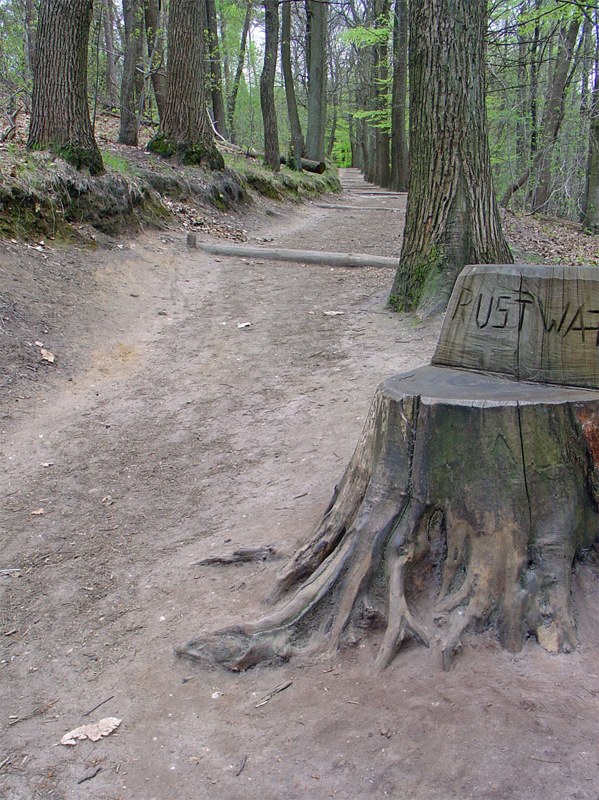
The 75.9-metre (249 ft) hill is located on a moraine east of Nijmegen, between Berg en Dal, Beek and the Dutch-German border. The nature reserve covers about 125 hectares (310 acres) and is predominantly covered with deciduous trees, especially chestnut. It is managed by the Staatsbosbeheer, the Dutch Forestry Commission.[1]
History
Over the centuries the hill has been militarily significant, this historical background in more recent times having given rise to issues of sovereignty between Germany and The Netherlands.
Military history from the Middle Ages until World War Two
In the Middle Ages Mergelp castle stood on the hill. In September 1944 airborne troops of the U.S. 508th Parachute Infantry Regiment[2] fought to capture the Duivelsberg, "Hill 75.9",[3] during Operation Market Garden.[4]
Annexation issues
Until 1949, the hill was part of the nearby German village of Wyler in the municipality of Kranenburg. Duivelsberg's German name, Wylerberg, is derived from the name of this village. With the notable support of Dutch politician Frits Bakker Schut, Duivelsberg was one of the many small areas the Netherlands annexed from Germany on 23 April 1949. Unlike the other areas, Duivelsberg was not returned to the German authorities on 1 August 1963 and remained Dutch territory.[5] The Nijmegen-born politician Marinus van der Goes van Naters, who also lived in nearby Nijmegen during the negotiations with Germany, successfully urged that the nature reserve be kept Dutch.[6]
Ownership and conservation
The Duivelsberg was inherited in 1906 by Marie Schuster-Hiby who, between 1921 and 1924, built an expressionist villa designed by the German architect Otto Bartning. In 1965 the Schuster-Hiby family sold the villa to the Dutch State. Since 1985 the Huis Wylerberg has been a nationally protected building in which conservation organizations are located.[7]
 Huis Wylerberg
 Castle Hill
 View from the hilltop with Germany in background


See also
- Wyler, North Rhine-Westphalia
- Marinus van der Goes van Naters#German border issues after WW2
References
- Wandelroute Duivelsberg Rijk van Nijmegen 3 km. Staatsbosbeheer
- Holt, Tonie; Holt, Valmal (October 2001). Major and Mrs Holt's Battlefield Guide to Operation Market Garden. Pen and Sword. p. 132. ISBN 978-0850527858. Retrieved 2015-02-11.
- MacDonald, Charles B. (1990). "8". The European Theater of Operations The Siegfried Line Campaign. Washington, D. C.: Center Of Military History, United States Army. LCCN 62-60001. Retrieved 2015-02-11.
- ""De Duivelsberg in September 1944/2014: Venue for symposium and public event" | Market Garden 70". Archived from the original on 2015-02-11. Retrieved 2015-02-11. De Duivelsberg in September 1944/2014: venue for symposium and public event. Berg en Dal, 11 September 2014
- (German: Vertrag vom 8. April 1960 zwischen der Bundesrepublik Deutschland und dem Königreich der Niederlande zur Regelung von Grenzfragen und anderen zwischen beiden Ländern bestehenden Problemen; short: Ausgleichsvertrag, i.e. treaty of settlement. Bundesgesetzblatt (Federal Law Gazette), part III, no. 181-1.
- Geschiedenis Andere Tijden: 'Eisch Duitschen grond!' - De Duivelsberg. Nederlandse Publieke Omroep (organization)
- De Duivelsberg als grensgeval. GSRO
На других языках
[de] Wylerberg
Der Wylerberg oder Teufelsberg (niederländisch Duivelsberg) ist ein Hügel in der Nähe von Nijmegen, der ursprünglich zur deutschen Gemeinde Wyler/Nordrhein-Westfalen gehörte. 1949 wurde der Berg durch die britische Militärverwaltung auf niederländische Initiative unter niederländische Auftragsverwaltung gestellt und 1963 endgültig niederländisches Staatsgebiet.[1]- [en] Duivelsberg
Другой контент может иметь иную лицензию. Перед использованием материалов сайта WikiSort.org внимательно изучите правила лицензирования конкретных элементов наполнения сайта.
WikiSort.org - проект по пересортировке и дополнению контента Википедии