 Aerial view of Dicker Wilhelm (2010)
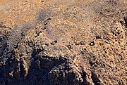 Ruins of German Schutztruppe on top of Dikwillem (Bird's eye view 2017)
geo.wikisort.org - Mountains
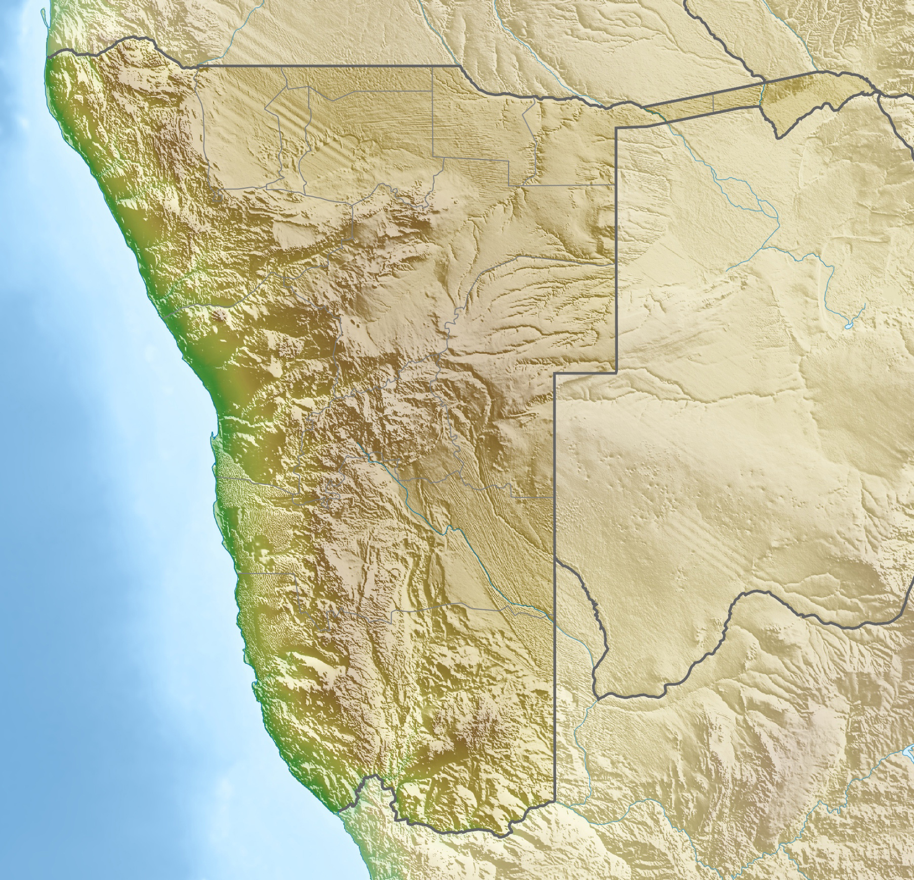
Dikwillem (Afrikaans) or Dicker Wilhelm (German), also known as Garub-Berg[1] or Garubberg, is a mountain in Namibia.[2] With an elevation of 1496 meters and lying within the Namib desert, the mountain is visible from a great distance from all directions. It is about 15 kilometers north of the National Road B4 and about 80 kilometers east of Lüderitz.
| Dicker Wilhelm | |
|---|---|
 Dicker Wilhelm with Wild Horses in front | |
| Highest point | |
| Elevation | 1,496 m (4,908 ft) |
| Coordinates | 26°28′04″S 016°01′08″E |
| Naming | |
| Native name | Dikwillem (Afrikaans) |
| Geography | |
 Dicker Wilhelm Position of Dicker Wilhelm | |
| Location | Namibia |
The harsh environment and barren plains around Garub[3] became habitat of the desert horses of the Namib. They are said to be descendants from German cavalry horses and adapted to the conditions and dry climate of the desert.
During the time of German colonial empire a heliographic station was operated by the German Schutztruppe on top of Dikwillem.[4]
Gallery


References
- See German Getamap.net
- Namibia Travel Map. Kunth-Verlag, München 2017, ISBN 978-3-95504-578-4.
- See German Wikipedia: Garub
- See German Book Stefan Loose Reiseführer Namibia
This Namibia location article is a stub. You can help Wikipedia by expanding it. |
На других языках
[de] Dikwillem
Der Dikwillem[1] (Afrikaans) oder Dicker Wilhelm (Deutsch), auch bekannt als Garub-Berg[2][3], ist ein markanter, aus allen Richtungen von weither guter sichtbarer Berg in Namibia mit einer Höhe von 1496 m[3] (oder 1473 m[4]).- [en] Dikwillem
Текст в блоке "Читать" взят с сайта "Википедия" и доступен по лицензии Creative Commons Attribution-ShareAlike; в отдельных случаях могут действовать дополнительные условия.
Другой контент может иметь иную лицензию. Перед использованием материалов сайта WikiSort.org внимательно изучите правила лицензирования конкретных элементов наполнения сайта.
Другой контент может иметь иную лицензию. Перед использованием материалов сайта WikiSort.org внимательно изучите правила лицензирования конкретных элементов наполнения сайта.
2019-2025
WikiSort.org - проект по пересортировке и дополнению контента Википедии
WikiSort.org - проект по пересортировке и дополнению контента Википедии