geo.wikisort.org - Mountains
Cyrniau Nod is a mountain summit in north east Wales. It is a former Marilyn, the Marilyn summit now being the nearby Foel Cedig. Its summit has the Snowdonia National Park boundary running through it. A number of rivers and streams rise from near the mountain including Afon Tanat, Afon Cedig and Nant Ystrad-y-Groes.
| Cyrniau Nod | |
|---|---|
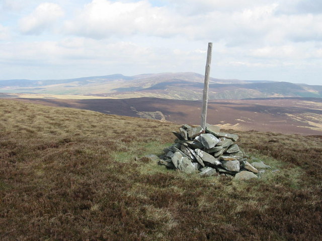 The summit of Cyrniau Nod with Cadair Berwyn (middle) and Post Gwyn (right) in the distance | |
| Highest point | |
| Elevation | 666 m (2,185 ft) |
| Prominence | 8 m (26 ft) |
| Listing | Deleted Marilyn, Hewitt, Nuttall |
| Naming | |
| English translation | Mark Cairns |
| Language of name | Welsh |
| Geography | |
| Location | Powys, Wales |
| Parent range | Berwyn range |
| Topo map | OS Landranger 125 |
| Listed summits of Cyrniau Nod | ||||
| Name | Grid ref | Height | Status | |
|---|---|---|---|---|
| Y Groes Fagl | SJ066318 | 659 metres (2,162 ft) | Nuttall | |
| Foel Cwm Sian Llwyd | SJ066318 | 648 metres (2,126 ft) | Hewitt, Nuttall | |
| Pen y Boncyn Trefeilw | SJ066318 | 646 metres (2,119 ft) | Hewitt, Nuttall | |
| Cefn Gwyntog | SJ080317 | 615 metres (2,018 ft) | sub Hewitt, Nuttall | |
The views from the summit are extensive, if unremarkable due to the featureless, flat moorland surroundings. The summit is marked by a small cairn surrounded by peat bog.
Walking on Cyrniau Nod and its tops is made easier by a track that passes close to every top except Cefn Gwyntog. Otherwise, the walking would be tough indeed, requiring tiresome bog crossing for miles.[1]
References
- Nuttall, John; Nuttall, Anne (1999). The Mountains of England and Wales: Volume 1 Wales. Cicerone Press. ISBN 978-1852843045.
This Powys location article is a stub. You can help Wikipedia by expanding it. |
Другой контент может иметь иную лицензию. Перед использованием материалов сайта WikiSort.org внимательно изучите правила лицензирования конкретных элементов наполнения сайта.
WikiSort.org - проект по пересортировке и дополнению контента Википедии