geo.wikisort.org - Mountains
Creech Barrow Hill is a steep, conical hill, 193 metres (633 ft)[2] (one source 637 feet[3]) high, near the coast of Dorset, England, and the highest point of the Dorset Heaths.[4][5] It has been described as "one of Dorset's most distinctive landmarks."[3] Geologically, it is also the highest Cenozoic hill in England.[6]
| Creech Barrow Hill | |
|---|---|
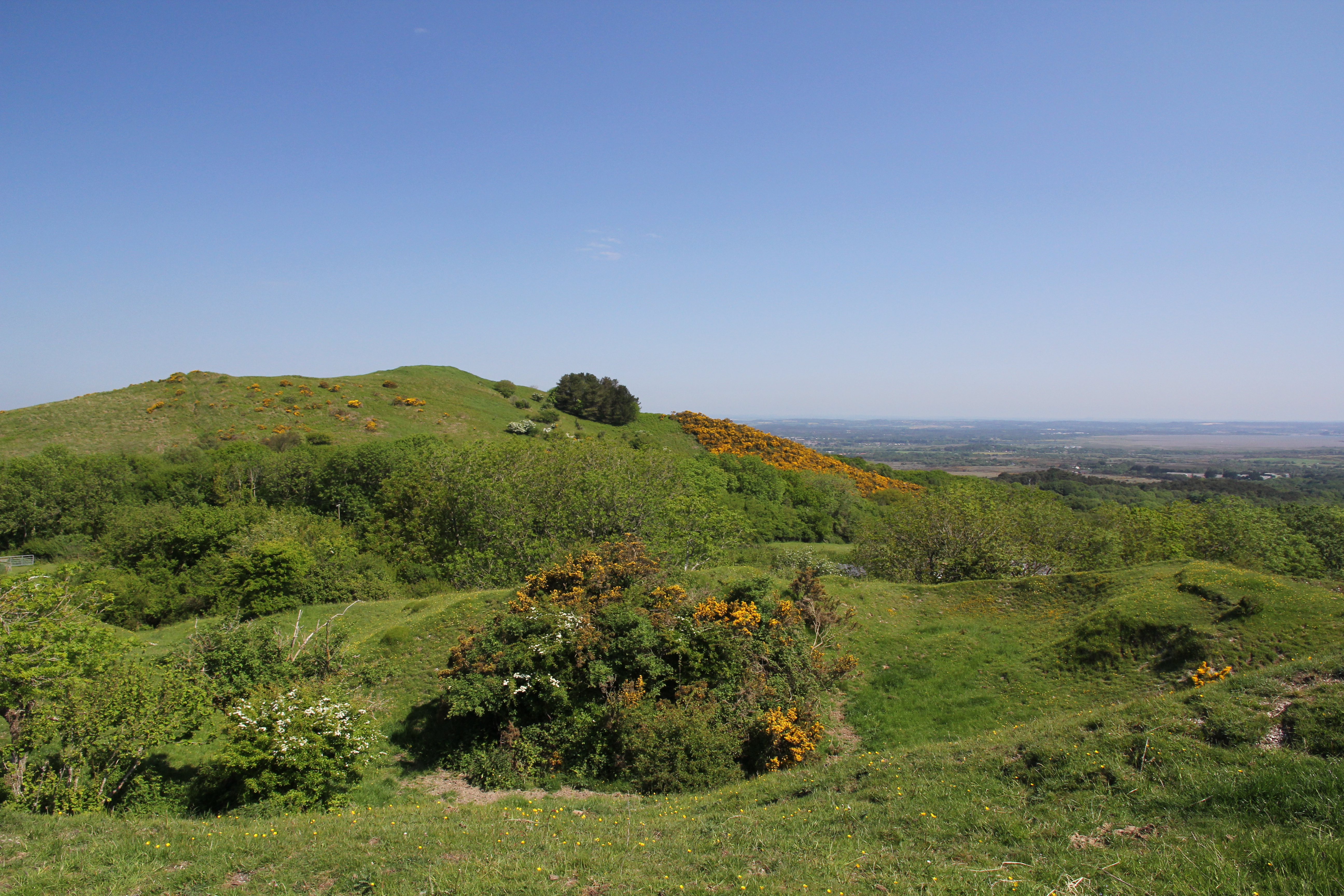 Creech Barrow Hill seen from the area of Stonehill Down to the south | |
| Highest point | |
| Elevation | 193 m (633 ft)[1] |
| Prominence | 38 m (125 ft)[1] |
| Parent peak | Swyre Head[1] |
| Listing | Tump |
| Coordinates | 50°38′29.48″N 2°6′37.16″W |
| Geography | |
| Location | Dorset, England |
| Parent range | Dorset Heaths |
| OS grid | SY921823 |
| Topo map | OS Landranger 195 |
| Geology | |
| Mountain type | Cenozoic |
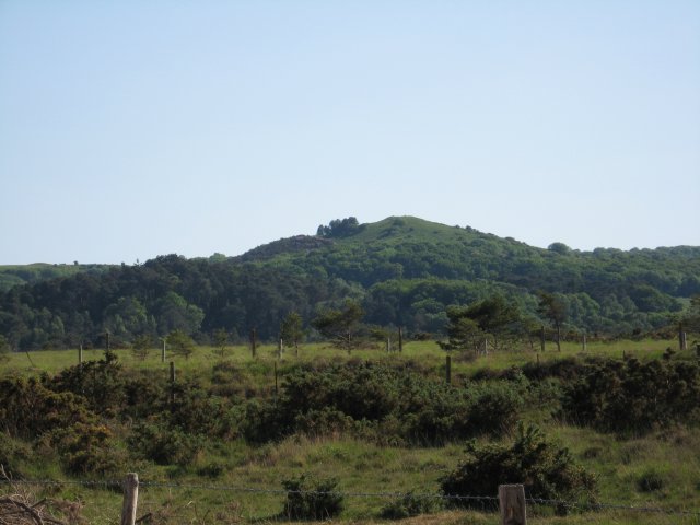
There is a single, round barrow at the summit that gives Creech Barrow Hill its name and, from some angles, the appearance of a double summit.[3] To the southeast is Stone Hill Down long barrow.[7] There is also a trig point on the summit.[2]
The name of the hill means "hill" three times. "Creech" is derived from the Celtic crich = hill and "barrow" from the Saxon for "mound".[8]
The hill is a classic viewpoint that was once the site of King John's hunting lodge.[8]
References
- Prominence from Summit Listings by Relative Height by Mark Jackson, compiled by Jonathan de Ferranti. Accessed on 4 May 2013.
- Ordnance Survey 1:50,000 Landranger series, no. 195.
- The Purbeck 'volcano' at www.dorsetlife.co.uk. Accessed on 10 Apr 2013.
- Dorset Heaths - Natural Area Profile, by English Nature, Oct 1997, at www.naturalareas.naturalengland.org.uk. Accessed on 3 Apr 2013.
- Natural England's NCA profile gives the highest point of the Dorset Heaths as only 174 m, despite including Creech Barrow Hill within the boundary of the NCA.
- NCA 135: Dorset Heaths - Key Facts & Data at www.naturalengland.org.uk. Accessed on 10 Apr 2013.
- Creech Barrow at www.themodernantiquarian.com. Accessed on 10 Apr 2013.
- East Creech at www.dorsetlife.co.uk. Accessed on 10 Apr 2013.
This Dorset location article is a stub. You can help Wikipedia by expanding it. |
Другой контент может иметь иную лицензию. Перед использованием материалов сайта WikiSort.org внимательно изучите правила лицензирования конкретных элементов наполнения сайта.
WikiSort.org - проект по пересортировке и дополнению контента Википедии