geo.wikisort.org - Mountains
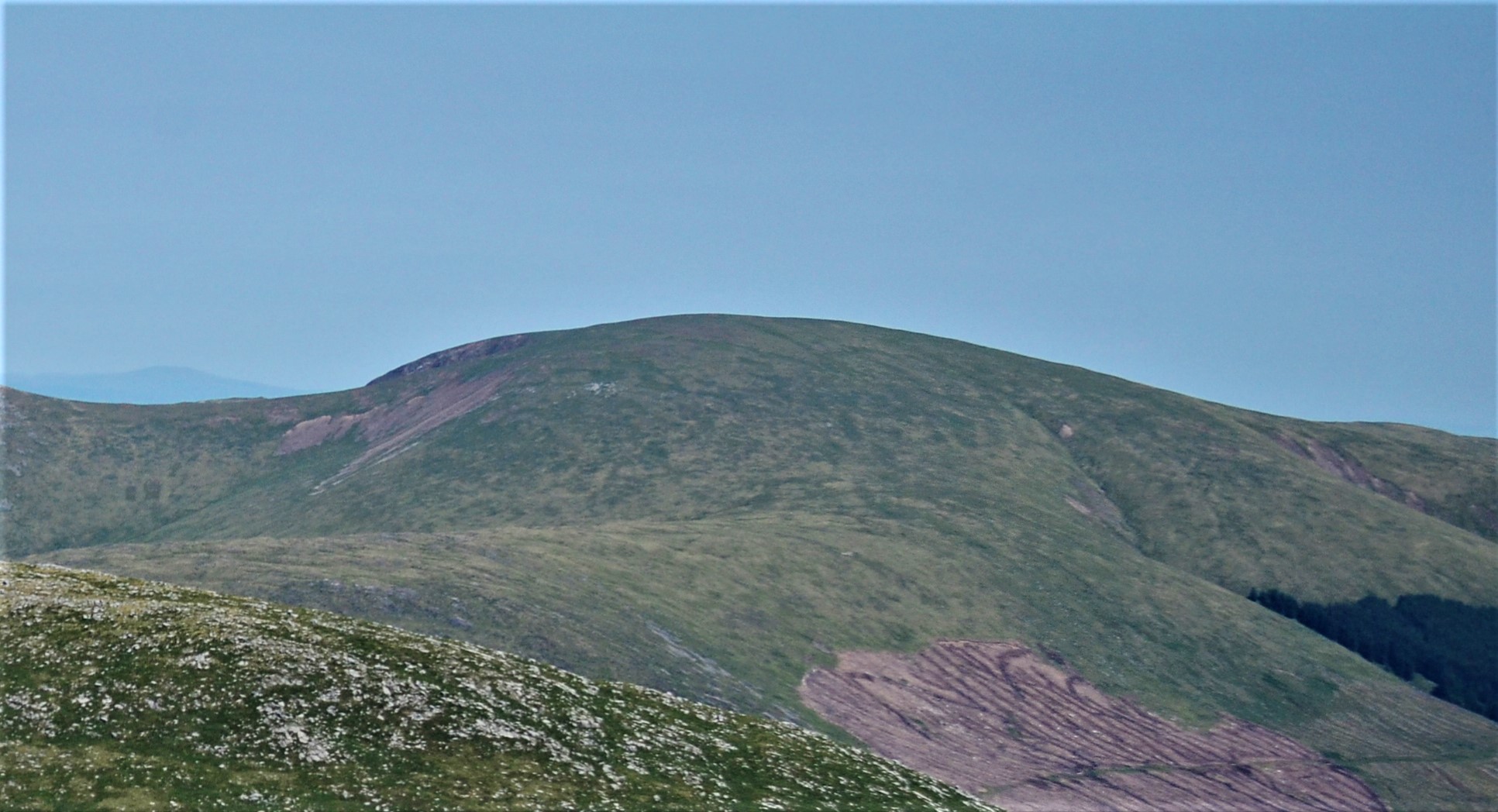
Corserine is a hill in the Rhinns of Kells, a sub-range of the Galloway Hills range, part of the Southern Uplands of Scotland. The highest point of the range and the second highest point in Galloway, the usual route of ascent is from the car park at Forrest Lodge to the east of the hill via Loch Harrow and North Gairy Top. Forest Lodge is a short drive from the village of St. John's Town of Dalry.
| Corserine | |
|---|---|
 | |
| Highest point | |
| Elevation | 814 m (2,671 ft)[1] |
| Prominence | 488 m (1,601 ft)[2] |
| Listing | Ma,Hu,Tu,Sim, C, D,DN,Y[3] |
| Naming | |
| English translation | Scots, Scottish Gaelic: Cross of the Promontory[4][5][6] |
| Geography | |
| Location | Dumfries and Galloway, Scotland |
| Parent range | Rhinns of Kells, Galloway Hills, Southern Uplands |
| OS grid | NX 49784 87065 |
| Topo map | OS Landranger 77 |
Climbing
Because of the nature of the rock no good rock climbing has been recorded on Corserine or elsewhere on the Rhinns. However, in winter after a good freeze there are a number of good ice climbs of up to 150 m on the slopes of Milldown just south of Corserine.[7]
External links
- Corserine tourist trail, map and large images
- Corserine to Meikle Millyea trail, map and large images
- Rhinns of Kells north hills from the Old Lead Mines at Casphairn, route, map and large images
References
- "Corserine".
- "Corserine".
- "Database of British and Irish Hills: User guide".
- "rinn - Wiktionary". En.wiktionary.org. 30 September 2019. Retrieved 23 April 2020.
- "Dictionaries of the Scots Language:: SND :: Corse V".
- "Place-Names of the Galloway Glens".
- John Biggar. "Rhinns of Kells". Archived from the original on 26 October 2007. Retrieved 14 June 2007.
This Dumfries and Galloway location article is a stub. You can help Wikipedia by expanding it. |
This article about a Scottish sports venue is a stub. You can help Wikipedia by expanding it. |
Другой контент может иметь иную лицензию. Перед использованием материалов сайта WikiSort.org внимательно изучите правила лицензирования конкретных элементов наполнения сайта.
WikiSort.org - проект по пересортировке и дополнению контента Википедии