geo.wikisort.org - Mountains
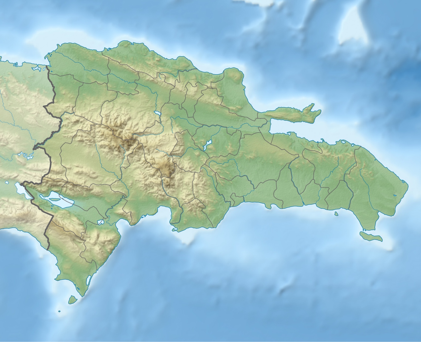
The Cordillera Central is the highest mountain range in the Dominican Republic and in all of the Caribbean, running through the heart of the island of Hispaniola.[2]
| Cordillera Central | |
|---|---|
 | |
| Highest point | |
| Peak | Pico Duarte |
| Elevation | 3,098 m (10,164 ft)[1] |
| Prominence | 3,098 m (10,164 ft)[1] |
| Geography | |
 Cordillera Central Dominican Republic | |
Geography
The Cordillera Central is home to the highest peaks in the Caribbean: Pico Duarte (3,098 m or 10,164 ft) (the highest point in the Caribbean),[3] La Pelona (3,094 m or 10,150 ft) and La Rucilla (3,049 m or 10,003 ft). Connected to the smaller Massif du Nord in Haiti, it gradually bends southwards and finishes near the town of San Cristóbal on the Caribbean coastal plains. Because of its altitude, cool temperature, and scenic vistas, the Cordillera Central is also known as the "Dominican Alps".
Parks
José Armando Bermúdez National Park (Parque Nacional Armando Bermúdez) is located in the range, protecting a diversity of flora and fauna species. The pale magnolia tree (Magnolia pallescens), an endangered species endemic to the Dominican Republic, grows in the park.
Other ranges
In the southwest corner of the country, south of the Cordillera Central, there are two, largely dry and rocky ranges. The more northerly of the two is the Sierra de Neiba, while in the south the Sierra de Bahoruco is a continuation of the Massif de la Selle in Haiti.[4]
References
- Maizlish, Aaron (2003). "Central America and Caribbean Ultra Prominence Page". Peaklist.org. Retrieved 2012-04-06.
- Bencosme, Fe Liza (13 November 2004). Adventure Guide to the Dominican Republic. Hunter Publishing, Inc. p. 17. ISBN 978-1-58843-402-9.
- Latta, Steven; Rimmer, Christopher; Keith, Allan; James Wiley; Herbert A. Raffaele; Kent McFarland; Eladio Fernandez (23 April 2010). Birds of the Dominican Republic and Haiti. Princeton University Press. p. 15. ISBN 1-4008-3410-4.
- Bulletin. U.S. Government Printing Office. 1948. p. 89.
This Dominican Republic location article is a stub. You can help Wikipedia by expanding it. |
На других языках
[de] Cordillera Central (Hispaniola)
Die Cordillera Central ist eine Gebirgskette der Insel Hispaniola und befindet sich größtenteils auf dem Gebiet der Dominikanischen Republik. In ihr entspringen die längsten und wichtigsten Flüsse Hispaniolas: der Artibonite, der Río Yaque del Norte, der Río Yaque del Sur und der Río Yuna.- [en] Cordillera Central, Dominican Republic
[es] Cordillera Central (La Española)
La Cordillera Central es el sistema montañoso más importante de La Española, la cual atraviesa en dirección sureste y posee los puntos más elevados de las Antillas en su conjunto. Es aquí dónde nacen los ríos más largos y caudalosos de la geografía dominicana: el Yaque del Norte, Yaque del Sur, río Yuna, Camú, Bao, entre otros.[fr] Cordillère Centrale (Hispaniola)
La cordillère Centrale (Cordillera Central en espagnol) est le massif montagneux principal de l'île d'Hispaniola. Son point culminant est le Pico Duarte qui s'élève à 3 175 m[1], dominant l'ensemble de la mer des Caraïbes.[it] Cordillera Central (Repubblica Dominicana)
La Cordillera Central è il principale massiccio montuoso dell'isola di Hispaniola. Culmina a 3175 m con il Pico Duarte[1], la vetta più elevata dei Caraibi.Другой контент может иметь иную лицензию. Перед использованием материалов сайта WikiSort.org внимательно изучите правила лицензирования конкретных элементов наполнения сайта.
WikiSort.org - проект по пересортировке и дополнению контента Википедии