geo.wikisort.org - Mountains
A hill with a trig point pillar to the east of Cold Overton Park Wood is, at 197 m (646 ft), the highest point in the county of Rutland, England.[1] The summit is southwest of the Glebe Farm radio relay mast on the road between Oakham and Knossington, and adjacent to the county boundary with Leicestershire. From the peak, there are views of Rutland Water.
| Cold Overton Park | |
|---|---|
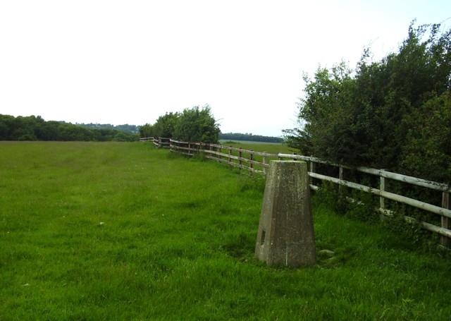 Cold Overton Park - triangulation pillar | |
| Highest point | |
| Elevation | 197 m (646 ft)[1] |
| Listing | County Top |
| Coordinates | 52°40′05″N 0°46′34″W |
| Geography | |
 Cold Overton Park Cold Overton Park in Rutland | |
| Location | West of Oakham, England |
| OS grid | SK 827 085 |
| Topo map | OS Landranger 141 |
It falls within the historic parkland of Flitteriss Park.
References
- Bathurst, David (2012). Walking the county high points of England. Chichester: Summersdale. pp. 48–51. ISBN 978-1-84-953239-6.
External links
This geographical article about a location in Rutland is a stub. You can help Wikipedia by expanding it. |
Текст в блоке "Читать" взят с сайта "Википедия" и доступен по лицензии Creative Commons Attribution-ShareAlike; в отдельных случаях могут действовать дополнительные условия.
Другой контент может иметь иную лицензию. Перед использованием материалов сайта WikiSort.org внимательно изучите правила лицензирования конкретных элементов наполнения сайта.
Другой контент может иметь иную лицензию. Перед использованием материалов сайта WikiSort.org внимательно изучите правила лицензирования конкретных элементов наполнения сайта.
2019-2026
WikiSort.org - проект по пересортировке и дополнению контента Википедии
WikiSort.org - проект по пересортировке и дополнению контента Википедии