geo.wikisort.org - Mountains
Chillerton Down is downland between the villages of Shorwell and Chillerton, on the Isle of Wight, England.
Chillerton Down | |
|---|---|
 | |
 Chillerton Down location on the Isle of Wight | |
| Coordinates: 50°39′6″N 1°19′25″W | |
| Grid position | SZ 479 838 |
| Location | near Chillerton, Isle of Wight |
| Dimensions | |
| • Drop | 61 metres (200 ft) |
| Elevation | 167 m (548 ft) |
Description
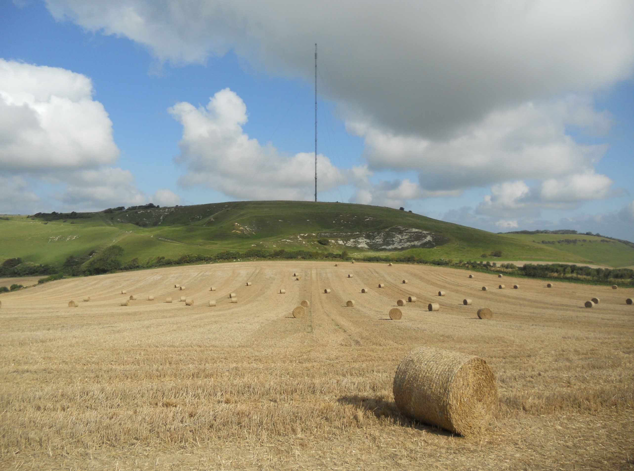
The highest point of the hill is 167 metres (548 ft), and its prominence is 61 metres (200 ft). There is a trig point within 2 metres of the summit.[1] Part of Chillerton Down is a property of the National Trust.[2] Chillerton Down transmitting station is nearby.
"Five Barrows" earthworks
Across a spur of the hill running north-east to south-west, there are earthworks, originally a rampart, thought to be an unfinished promontory fort of the Iron Age. The feature has been called the Five Barrows, because it has sunk in places, giving the appearance of separate mounds. The rampart is about 84 metres (276 ft) long, 5 metres (16 ft) wide and up to 3 metres (9.8 ft) high, and there is a depression, formerly a ditch, on the south-west side.[3]
References
- "Chillerton Down" The Mountain Guide. Retrieved 10 November 2021.
- "Chillerton Down" The National Trust. Retrieved 10 November 2021.
- Historic England. "Rampart and ditch of an unfinished promontory fort on Chillerton Down, known as `Five Barrows' (1010012)". National Heritage List for England. Retrieved 10 November 2021.
Другой контент может иметь иную лицензию. Перед использованием материалов сайта WikiSort.org внимательно изучите правила лицензирования конкретных элементов наполнения сайта.
WikiSort.org - проект по пересортировке и дополнению контента Википедии