geo.wikisort.org - Mountains
Bystrinsky Golets (Russian: Быстринский Голец), also known as Barun-Shabartuy, is a mountain in the Chikokon Range. Administratively it is part of the Transbaikal Krai, Russian Federation.
| Bystrinsky Golets | |
|---|---|
| Быстринский Голец | |
 Bystrinsky Golets Transbaikal Krai, Russian Far East | |
| Highest point | |
| Elevation | 2,519 m (8,264 ft)[1] |
| Coordinates | 49°43′0″N 109°57′0″E |
| Geography | |
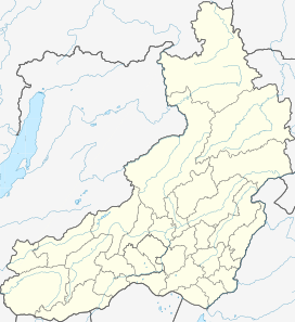
| Location | Transbaikal Krai, Russian Far East |
| Parent range | Chikokon Range, Khentei-Daur Highlands |
The mountain was officially declared a natural monument in 1988.[2]
Geography
This 2,519 m (8,264 ft) high mountain is the highest point of the Khentei-Daur Highlands, part of the South Siberian System of ranges. It is located in the western part of the highlands, just a little north of the border with Mongolia.[1] the Bystrinsky Golets is a ‘’golets’’-type of mountain with a bald peak that rises just above the source of the Chikoy River.[3] The Bystrinsky Golets is part of the Chikoy National Park.
See also
- List of mountains in Russia
References
- Быстринский Голец, Small Encyclopedia of Transbaikalia
- Resolution of the Chita Oblast Executive Committee No. 593. 29 December 1988
- Google Earth
This Zabaykalsky Krai location article is a stub. You can help Wikipedia by expanding it. |
На других языках
- [en] Bystrinsky Golets
[ru] Быстринский Голец
Бы́стринский Голе́ц, Бару́н-Ша́бартуй[1] — горная вершина и памятник природы[2] в Красночикойском районе Забайкальского края России. Высшая точка Хэнтэй-Даурского нагорья (2519 м).Другой контент может иметь иную лицензию. Перед использованием материалов сайта WikiSort.org внимательно изучите правила лицензирования конкретных элементов наполнения сайта.
WikiSort.org - проект по пересортировке и дополнению контента Википедии