geo.wikisort.org - Mountains
Bury Ditches is a British Iron Age hill fort between Clun and Bishop's Castle in the Shropshire Hills of central England.[1]

Site
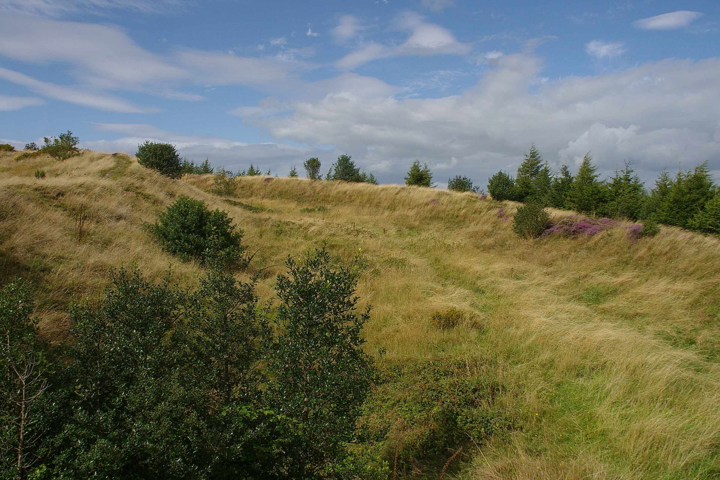
The site is managed by Forestry England. Storms in the 1970s and 1980s led to the removal of woodland from the hill fort site on the crown of the hill, from which today the views are open in all directions.
There is a car park within an easy uphill walk of the summit.
Description
Bury Ditches is often rated as a spectacular example of a surviving hill fort as it forms a neat oval or elliptical shape and is situated on the crown of a hill called Sunnyhill and comprises up to four multi-vallate ditches[2] and rampart banks as part of its defensive earthworks and two well preserved entrance ways.[1]
From the summit views are clear to the Long Mynd, Corndon Hill and other Shropshire Hills.
Waymarked walks cross the site and pass through the woodlands below. The Shropshire Way and Jack Mytton Way pass below the site and Wild Edric's Way crosses adjacent to it also.
References
- "Bury Ditches (Shropshire) - Hillfort in England in Shropshire". Megalithic.co.uk. Retrieved 21 October 2018.
- "multivallate - Definition of multivallate in English by Oxford Dictionaries". Oxford Dictionaries - English. Archived from the original on 21 October 2018. Retrieved 21 October 2018.
External links
- Walking guide to Bury Ditches with photo from Shropshire County Council
- Bury Ditches Forestry England webpage
- Bury Ditches on the Roman-Britain website
- Photos of Bury Ditches and surrounding area on geograph
This Shropshire location article is a stub. You can help Wikipedia by expanding it. |
Другой контент может иметь иную лицензию. Перед использованием материалов сайта WikiSort.org внимательно изучите правила лицензирования конкретных элементов наполнения сайта.
WikiSort.org - проект по пересортировке и дополнению контента Википедии