geo.wikisort.org - Mountains
The Burnt Mountain (Afrikaans: Verbrande Berg) is a hill with a solidified lava flow at the foot of a 12-kilometre-long volcanic ridge in Damaraland in northern Namibia.[1] The 80-million-year-old stream of lava was formed by thermal and compression metamorphism and its red, brown, cream and purple colours creates a striking contrast at dusk with the surrounding 200-million-year-old beige rocks of Karoo slate.[2]
| Burnt Mountain | |
|---|---|
 | |
| Highest point | |
| Coordinates | 20°37′18″S 14°25′06″E |
| Geography | |
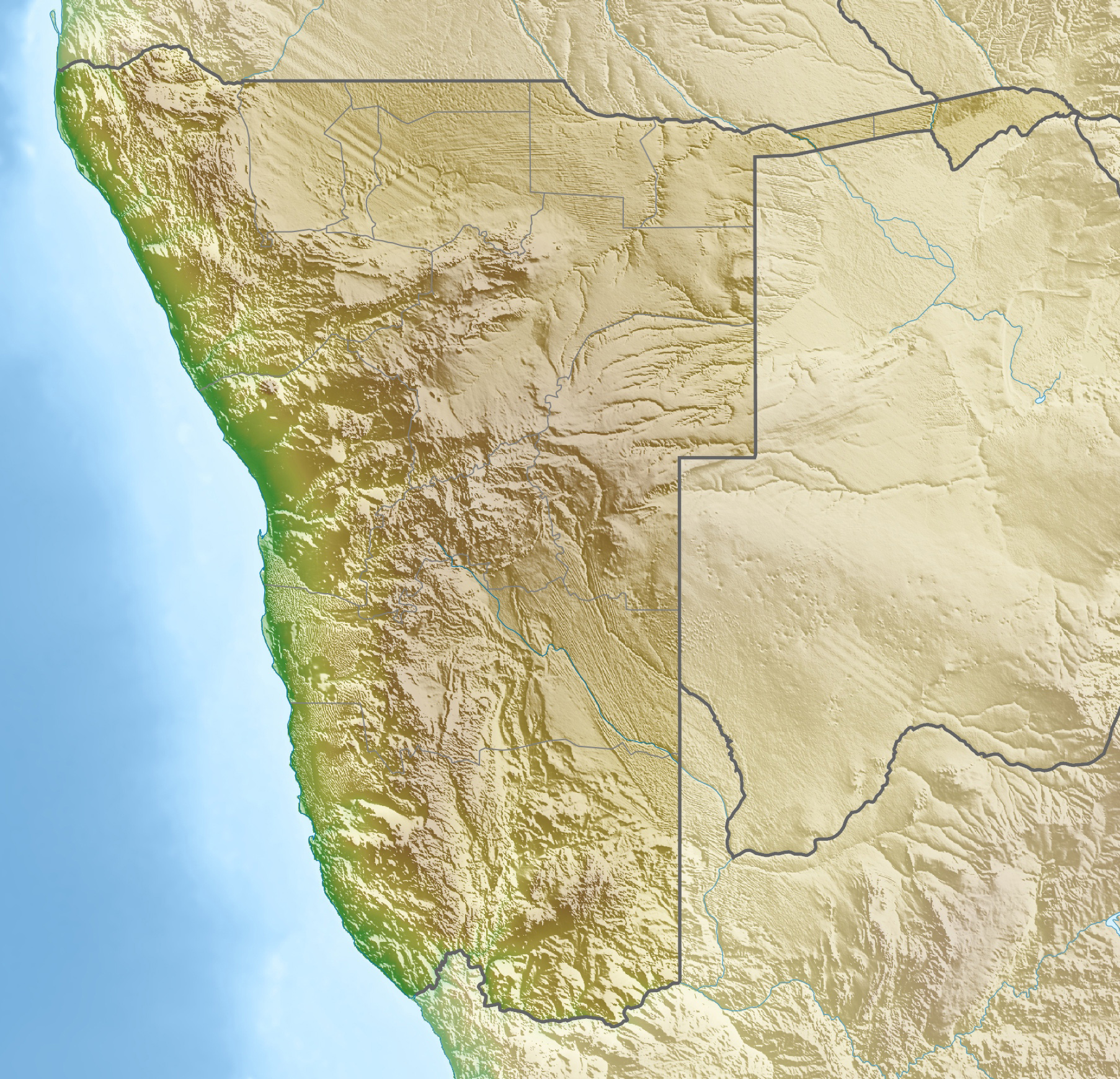 Burnt Mountain Namibia | |
| Geology | |
| Age of rock | 80 million years |
Burnt Mountain rises above the surrounding area by about 200 metres and is not far from the Organ Pipes on the D3254 road and about 10 kilometres southeast of Twyfelfontein.[1]
Since 15 September 1956, the Burnt Mountain has been a National Monument of Namibia.
References
- Burnt Mountain at www.namibian.org. Retrieved 30 Nov 2017.
- "The Verbrandeberg and Organ Pipes". Namibia Stays. Retrieved 2020-05-29.
External links
Wikimedia Commons has media related to Verbrannter Berg.
На других языках
[de] Verbrannter Berg
Der Verbrannte Berg (englisch Burnt Mountain; afrikaans Verbrande Berg) ist ein Berg im Damaraland im Nordwesten Namibias. Der Verbrannte Berg überragt seine Umgebung um etwa 200 Meter und ist unweit der Orgelpfeifen an der D3254 und etwa 10 Kilometer von Twyfelfontein entfernt. Er ist seit 15. September 1956 ein Nationales Denkmal Namibias.- [en] Burnt Mountain (Namibia)
Текст в блоке "Читать" взят с сайта "Википедия" и доступен по лицензии Creative Commons Attribution-ShareAlike; в отдельных случаях могут действовать дополнительные условия.
Другой контент может иметь иную лицензию. Перед использованием материалов сайта WikiSort.org внимательно изучите правила лицензирования конкретных элементов наполнения сайта.
Другой контент может иметь иную лицензию. Перед использованием материалов сайта WikiSort.org внимательно изучите правила лицензирования конкретных элементов наполнения сайта.
2019-2025
WikiSort.org - проект по пересортировке и дополнению контента Википедии
WikiSort.org - проект по пересортировке и дополнению контента Википедии