geo.wikisort.org - Mountains
Brunkollen is a mountain on the border of Dovre Municipality in Innlandet county and Oppdal Municipality in Trøndelag county in Norway. The 1,665-metre (5,463 ft) tall mountain is located in the Dovrefjell mountains and inside the Dovrefjell-Sunndalsfjella National Park, about 30 kilometres (19 mi) north of the village of Dombås and about 14 kilometres (8.7 mi) northwest of the village of Hjerkinn. The mountain is surrounded by several other notable mountains including Tverrfjellet to the southeast, Einøvlingseggen and Skredahøin to the southwest, Snøhetta and Storstyggesvånåtinden to the west.[1]
| Brunkollen | |
|---|---|
 Brunkollen in back right of photo | |
| Highest point | |
| Elevation | 1,665 m (5,463 ft)[1] |
| Prominence | 118 m (387 ft)[1] |
| Parent peak | Snøhetta |
| Isolation | 3.2 km (2.0 mi)[1] |
| Coordinates | 62°19′04″N 9°21′38″E[2] |
| Geography | |
 Brunkollen Location of the mountain 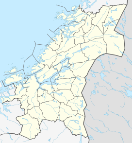 Brunkollen Brunkollen (Trøndelag)  Brunkollen Brunkollen (Norway) | |
| Location | Innlandet and Trøndelag, Norway |
| Parent range | Dovrefjell |
See also
- List of mountains of Norway
References
- "Brunkollen". PeakVisor.com. Retrieved 15 April 2022.
- "Brunkollen, Dovre" (in Norwegian). yr.no. Retrieved 15 April 2022.
This article about a mountain, mountain range, or peak in Innlandet is a stub. You can help Wikipedia by expanding it. |
This article about a mountain, mountain range, or peak in Trøndelag is a stub. You can help Wikipedia by expanding it. |
Другой контент может иметь иную лицензию. Перед использованием материалов сайта WikiSort.org внимательно изучите правила лицензирования конкретных элементов наполнения сайта.
WikiSort.org - проект по пересортировке и дополнению контента Википедии