geo.wikisort.org - Mountains
Brown Wardle is a hill between the village of Wardle, Greater Manchester and the town of Whitworth, Lancashire, England. The summit is on the border of Greater Manchester and Lancashire and stands 400 m (1,312 ft) above sea level, making it one of the highest points in Rochdale and Greater Manchester. It forms part of the South Pennines, lying within the historic county boundaries of Lancashire.
| Brown Wardle | |
|---|---|
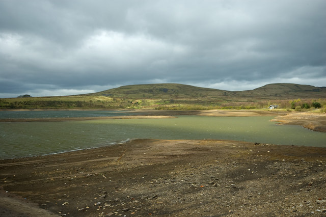 Brown Wardle from Watergrove Reservoir | |
| Highest point | |
| Elevation | c.400 metres (1,312 ft) |
| Coordinates | 53°39′52.85″N 2°9′15.59″W |
| Geography | |
 Brown Wardle Location in Greater Manchester  Brown Wardle Location in Lancashire  Brown Wardle Location in Rossendale | |
| Location | Wardle, Greater Manchester, England |
| OS grid | SD899187 |
This Lancashire location article is a stub. You can help Wikipedia by expanding it. |
This Greater Manchester location article is a stub. You can help Wikipedia by expanding it. |
Текст в блоке "Читать" взят с сайта "Википедия" и доступен по лицензии Creative Commons Attribution-ShareAlike; в отдельных случаях могут действовать дополнительные условия.
Другой контент может иметь иную лицензию. Перед использованием материалов сайта WikiSort.org внимательно изучите правила лицензирования конкретных элементов наполнения сайта.
Другой контент может иметь иную лицензию. Перед использованием материалов сайта WikiSort.org внимательно изучите правила лицензирования конкретных элементов наполнения сайта.
2019-2026
WikiSort.org - проект по пересортировке и дополнению контента Википедии
WikiSort.org - проект по пересортировке и дополнению контента Википедии