geo.wikisort.org - Mountains
Branisko (or Branyiszko) is a mountain range in eastern Slovakia, between the Spiš and Šariš regions. It is a 20 km long and 5 km wide mountain range in the north–south direction, belonging to the Fatra-Tatra Area of the Inner Western Carpathians.
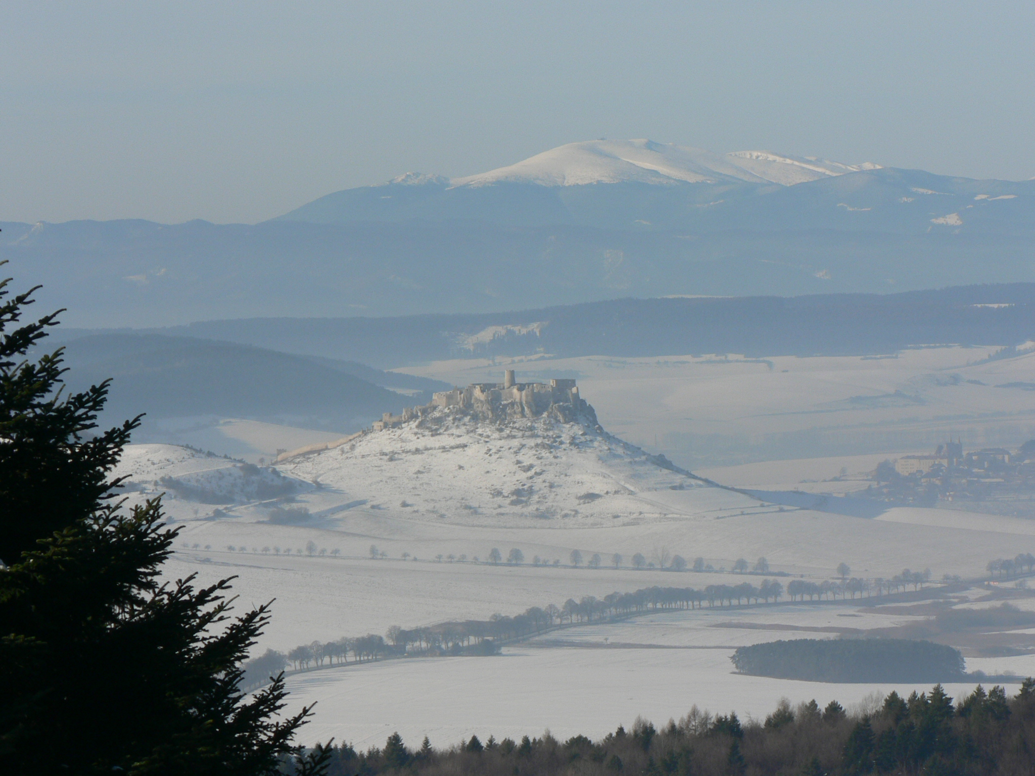
The mountain range is divided into two massifs: the larger Smrekovica with the highest hill Smrekovica (1200 m)[1] and the lower one, the Sľubica, with the highest elevation point Sľubica (1129,4 m).
References
- G. Z. Földvary. Geology of the Carpathian region, World Scientific, 1988 ISBN 9971-5-0345-X
| Authority control: National libraries |
|---|
This Slovak geography article is a stub. You can help Wikipedia by expanding it. |
На других языках
[de] Branisko (Gebirge)
Das Branisko ist ein kleiner Gebirgszug in den inneren Westkarpaten im Osten der Slowakei, der die traditionellen Landschaften Zips und Šariš voneinander trennt. Das Gebirge erstreckt sich von Norden nach Süden. Seine Länge beträgt max. 18 km; die Breite variiert von 3 bis 8 km. Die höchsten Gipfel sind die Smrekovica (1200 m n.m.) im Nordteil und die Sľubica (1129 m n.m.) im Südteil.- [en] Branisko (mountain range)
[fr] Branisko
Le Branisko (polonais : Branyiszko) est une chaîne de montagne en Slovaquie orientale entre les régions de Spiš et de Šariš. La chaîne fait environ 20 km de long et 5 km de large dans une direction nord-sud et fait partie des Carpates intérieures. Son point culminant est Smrekovica à 1 200 m d'altitude.Текст в блоке "Читать" взят с сайта "Википедия" и доступен по лицензии Creative Commons Attribution-ShareAlike; в отдельных случаях могут действовать дополнительные условия.
Другой контент может иметь иную лицензию. Перед использованием материалов сайта WikiSort.org внимательно изучите правила лицензирования конкретных элементов наполнения сайта.
Другой контент может иметь иную лицензию. Перед использованием материалов сайта WikiSort.org внимательно изучите правила лицензирования конкретных элементов наполнения сайта.
2019-2026
WikiSort.org - проект по пересортировке и дополнению контента Википедии
WikiSort.org - проект по пересортировке и дополнению контента Википедии