geo.wikisort.org - Mountains
Borgarvirki [ˈpɔrkarˌvɪr̥cɪ] lies between Vesturhóp and Víðidalur in the north of Iceland, and at 177m above sea level it dominates the surrounding region. Made out of basalt strata, it has been used as a fortress. Borgarvirki is a natural phenomenon, altered by humans in earlier centuries. In 1949, Borgarvirki was renovated by workers who installed a granite lintel at the main entrance.
This article needs additional citations for verification. (November 2018) |

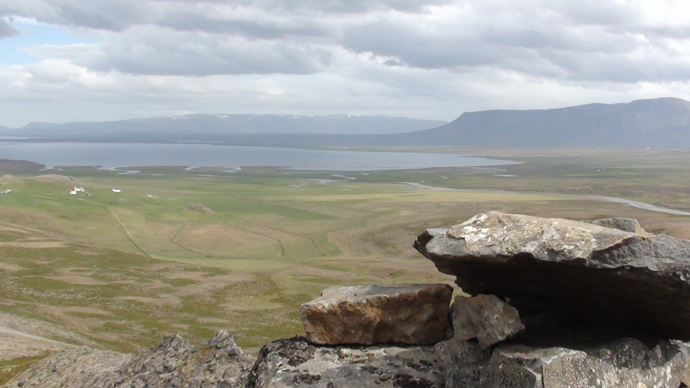
Borgarvirki is a volcanic plug (gosstapi), and the Icelandic sagas mention that in earlier centuries it was used for military purposes.[1] There is a viewing dial inside.
It is accessible to visitors travelling around the peninsula of Vatnsnes.
See also
- List of columnar basalts in Iceland
References
- Borgarvirki North Iceland Archived May 12, 2008, at the Wayback Machine
External links
| Wikimedia Commons has media related to Borgarvirki. |
This Iceland location article is a stub. You can help Wikipedia by expanding it. |
На других языках
- [en] Borgarvirki
[fr] Borgarvirki
Borgarvirki (en français « la citadelle ») est un sommet culminant à 177 mètres d'altitude dans la péninsule de Vatnsnes, au Nord de l'Islande. Il se situe le long de la route 717, à 9 kilomètres de la route 1, à 31 kilomètres de Hvammstangi et à 212 kilomètres de Reykjavik. Le lieu a été un des premiers sites historiques islandais à avoir été classé, en 1817, pour avoir accueilli des fortifications datées de l'époque de la colonisation de l'Islande.Текст в блоке "Читать" взят с сайта "Википедия" и доступен по лицензии Creative Commons Attribution-ShareAlike; в отдельных случаях могут действовать дополнительные условия.
Другой контент может иметь иную лицензию. Перед использованием материалов сайта WikiSort.org внимательно изучите правила лицензирования конкретных элементов наполнения сайта.
Другой контент может иметь иную лицензию. Перед использованием материалов сайта WikiSort.org внимательно изучите правила лицензирования конкретных элементов наполнения сайта.
2019-2026
WikiSort.org - проект по пересортировке и дополнению контента Википедии
WikiSort.org - проект по пересортировке и дополнению контента Википедии