geo.wikisort.org - Mountains
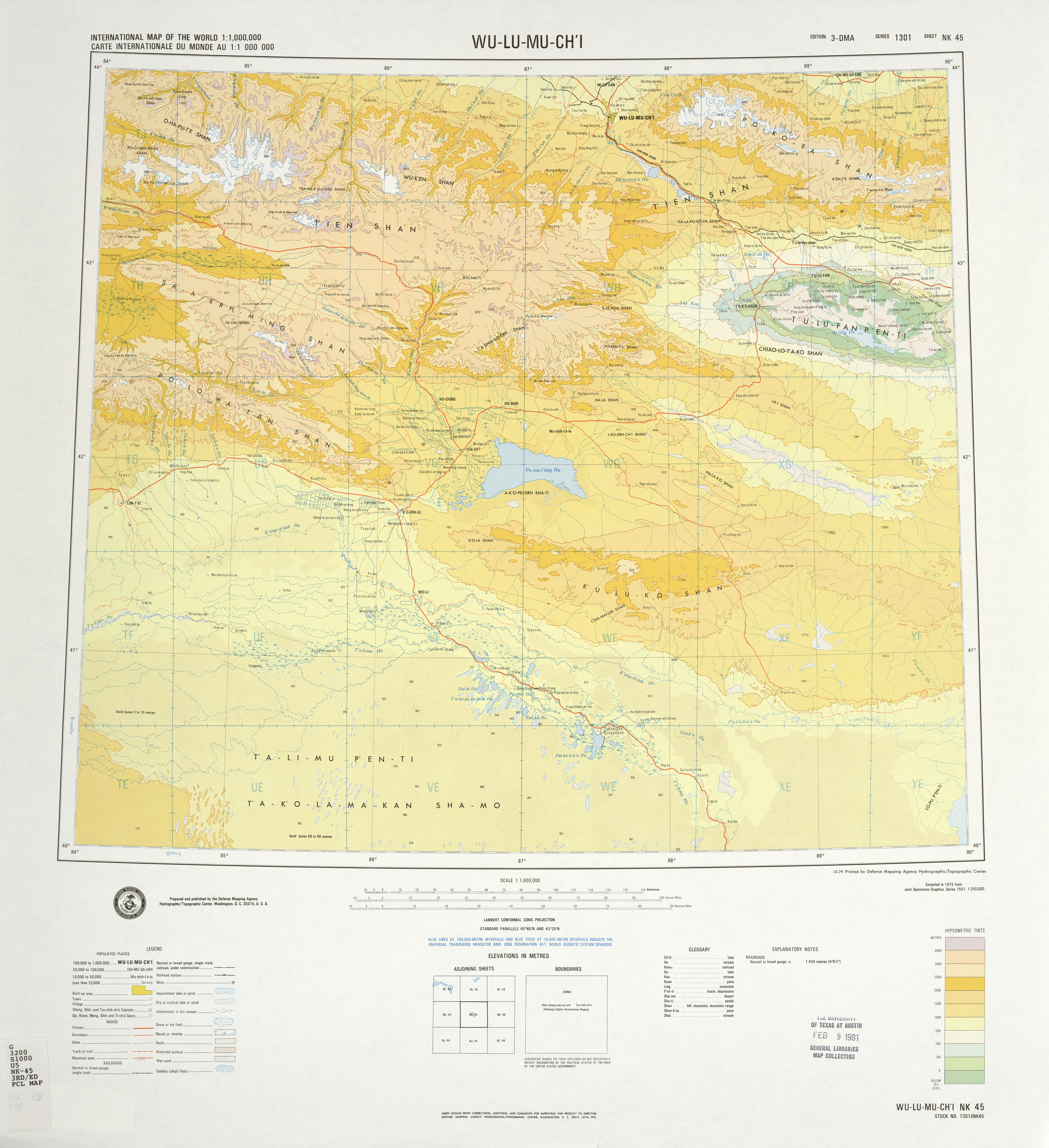
The Bogda Shan (Mongolian: Богд Уул, Bogd Uul; simplified Chinese: 博格达山; traditional Chinese: 博格達山; pinyin: Bógédá shān) range is part of the Eastern Tian Shan mountains and located in Xinjiang, some 60 km east of Ürümqi. The topography of the area gradually increases from north to south. The elevation is between 1380 and 5445 m, with the largest relative relief up to 4065 m.[1] The highest elevation is Bogda Peak, at 5,445 m.
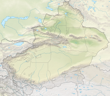
Administratively, the range forms the border between Dabancheng District to the south and Fukang City and Jimsar County to the north. In all three units, irrigated agriculture is based on the water flowing in streams that starts in the Bogda Shan.

References
- Liu, Qin; Yang, Zhaoping; Shi, Hui; Wang, Zhi (1 January 2019). "Ecological risk assessment of geohazards in Natural World Heritage Sites: an empirical analysis of Bogda, Tianshan". Open Geosciences. 11 (1): 327–340. doi:10.1515/geo-2019-0026.
Authority control | |
|---|---|
| General |
|
| National libraries | |
This Xinjiang location article is a stub. You can help Wikipedia by expanding it. |
На других языках
[de] Bogda Shan
Der Bogda Shan (auch Bogdo Ula oder Bogdo-Ola-Gruppe; chinesisch .mw-parser-output .Hani{font-size:110%}博格达山, Pinyin Bógédá Shān) ist ein Gebirgszug des östlichen Tian Shan im Uigurischen Autonomen Gebiet Xinjiang der Volksrepublik China.- [en] Bogda Shan
[ru] Богдо-Ула
Бо́гдо-У́ла или Богдо-Ола (монг. Богд уул (нуруу), кит. упр. 博格达山, пиньинь Bógédá shãn) — горный хребет и одноимённая гора в Восточном Тянь-Шане, Китай. Располагается в Синьцзян-Уйгурском автономном районе к востоку от города Урумчи. Протягивается с запада на восток на расстояние около 300 км, разделяя Турфанскую впадину (к югу) и Джунгарскую равнину (к северу). Высшая точка — гора Богдо-Ула (5445 м).Другой контент может иметь иную лицензию. Перед использованием материалов сайта WikiSort.org внимательно изучите правила лицензирования конкретных элементов наполнения сайта.
WikiSort.org - проект по пересортировке и дополнению контента Википедии