geo.wikisort.org - Mountains
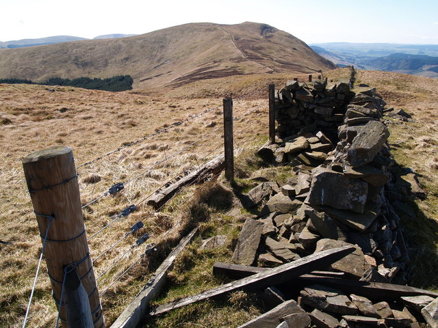
Bodesbeck Law is a hill in the Ettrick Hills range, part of the Southern Uplands of Scotland. It is the primary west-south-western terminus of the ridge that runs parallel to the A708 road along the Dumfries and Galloway-Scottish Borders border, occasionally titled the "Bodesbeck Ridge".[1]
| Bodesbeck Law | |
|---|---|
 | |
| Highest point | |
| Elevation | 664.2 m (2,179 ft)[1] |
| Prominence | 101.3 m (332 ft)[1] |
| Listing | Hu,Tu,Sim,D,GT,DN,Y[2] |
| Coordinates | 55°22′50″N 3°18′42″W |
| Geography | |
| Location | Dumfries and Galloway, Scottish Borders, Scotland |
| Parent range | Ettrick Hills, Southern Uplands |
| OS grid | NT 16994 10405 |
| Topo map | OS Landranger 79 |
References
- "Bodesbeck Law". www.hill-bagging.co.uk.
- "Database of British and Irish Hills: user guide". www.hills-database.co.uk.
Текст в блоке "Читать" взят с сайта "Википедия" и доступен по лицензии Creative Commons Attribution-ShareAlike; в отдельных случаях могут действовать дополнительные условия.
Другой контент может иметь иную лицензию. Перед использованием материалов сайта WikiSort.org внимательно изучите правила лицензирования конкретных элементов наполнения сайта.
Другой контент может иметь иную лицензию. Перед использованием материалов сайта WikiSort.org внимательно изучите правила лицензирования конкретных элементов наполнения сайта.
2019-2026
WikiSort.org - проект по пересортировке и дополнению контента Википедии
WikiSort.org - проект по пересортировке и дополнению контента Википедии