geo.wikisort.org - Mountains
Bin Down is a hill, 203 metres (666 ft) high near Liskeard in the county of Cornwall, England.[2] Its prominence of 101 metres qualifies it as a HuMP.
| Bin Down | |
|---|---|
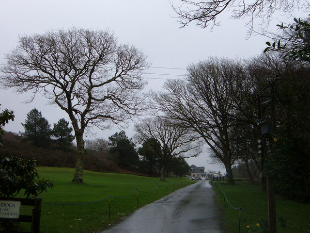 Entrance to Looe Golf Club on the slopes of Bin Down. | |
| Highest point | |
| Elevation | 203 m (666 ft)[1] |
| Prominence | 101 m (331 ft)[1] |
| Listing | HuMP |
| Coordinates | 50.3951°N 4.4263°W |
| Geography | |
| Location | Cornish Killas, England |
| OS grid | SX276578 |
| Topo map | OS Landranger 201, Explorer 107 |
Bin Down is located near the south Cornish coast, about 6 kilometres NNE of Looe. Its summit lies within the grounds of Looe Golf Course, near the 7th tee.[3][4] There is a trig point near the summit.
References
- Jackson, Mark. "More Relative Hills of Britain" (PDF). Relative Hills of Britain. p. 166. Archived from the original (PDF) on 12 October 2013. Retrieved 2 September 2013.
- Ordnance Survey 1:25,000 Explorer map series, No. 109
- OS 1:50,000 Landranger map series, No. 201.
- Bin Down at www.hill-bagging.co.uk. Accessed on 2 September 2013
Текст в блоке "Читать" взят с сайта "Википедия" и доступен по лицензии Creative Commons Attribution-ShareAlike; в отдельных случаях могут действовать дополнительные условия.
Другой контент может иметь иную лицензию. Перед использованием материалов сайта WikiSort.org внимательно изучите правила лицензирования конкретных элементов наполнения сайта.
Другой контент может иметь иную лицензию. Перед использованием материалов сайта WikiSort.org внимательно изучите правила лицензирования конкретных элементов наполнения сайта.
2019-2026
WikiSort.org - проект по пересортировке и дополнению контента Википедии
WikiSort.org - проект по пересортировке и дополнению контента Википедии