geo.wikisort.org - Mountains
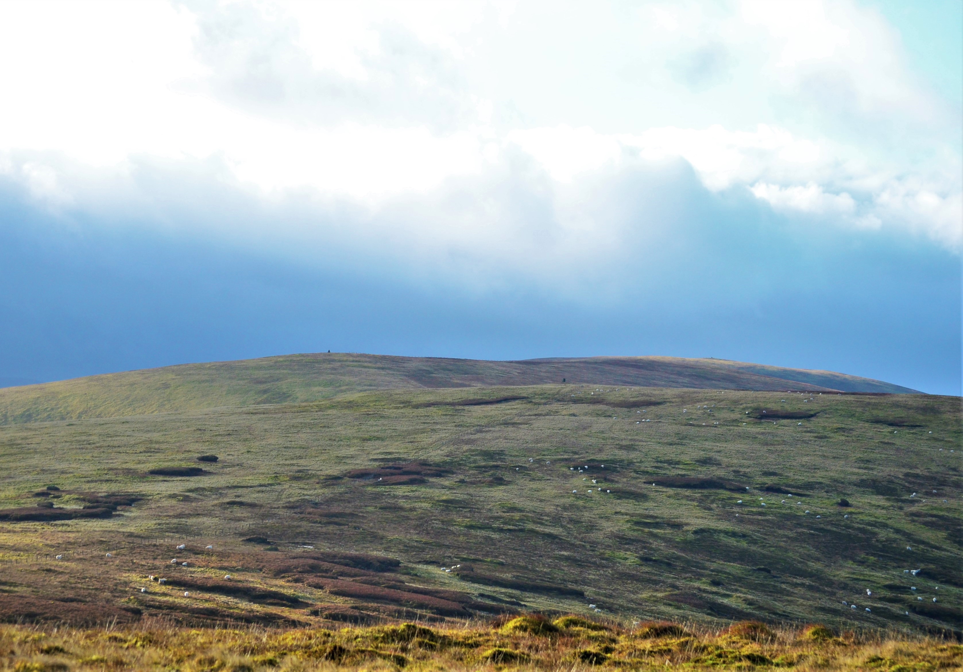
Andrewhinney Hill is a hill in the Ettrick Hills range, part of the Southern Uplands of Scotland. It is the highest summit of a ridge that runs parallel to the A708 road on its southern side, with the Grey Mare's Tail in the Moffat Hills directly opposite.[4] The northwestern slopes are designated as part of the 'Moffat Hills' SSSI and SAC.[5]
| Andrewhinney Hill | |
|---|---|
 | |
| Highest point | |
| Elevation | 677.3 m (2,222 ft)[1] |
| Prominence | 194 m (636 ft)[2] |
| Listing | Ma,Hu,Tu,Sim,G,D,DN,Y[3] |
| Geography | |
| Location | Dumfries and Galloway, Scottish Borders, Scotland |
| Parent range | Ettrick Hills, Southern Uplands |
| OS grid | NT 19760 13873 |
| Topo map | OS Landranger 79 |
Subsidiary SMC Summits
| Summit | Height (m) | Listing[6] |
|---|---|---|
| Trowgrain Middle | 728 | DT,sSim[7] |
References
- "Andrewhinney Hill".
- "Andrewhinney Hill".
- "Database of British and Irish Hills: User guide".
- "Andrewhinney Hill". www.hill-bagging.co.uk. Retrieved 21 July 2021.
- "SiteLink". sitelink.nature.scot. Retrieved 21 July 2021.
- "Database of British and Irish Hills: User guide".
- "Trowgrain Middle".
This Scottish location article is a stub. You can help Wikipedia by expanding it. |
Текст в блоке "Читать" взят с сайта "Википедия" и доступен по лицензии Creative Commons Attribution-ShareAlike; в отдельных случаях могут действовать дополнительные условия.
Другой контент может иметь иную лицензию. Перед использованием материалов сайта WikiSort.org внимательно изучите правила лицензирования конкретных элементов наполнения сайта.
Другой контент может иметь иную лицензию. Перед использованием материалов сайта WikiSort.org внимательно изучите правила лицензирования конкретных элементов наполнения сайта.
2019-2026
WikiSort.org - проект по пересортировке и дополнению контента Википедии
WikiSort.org - проект по пересортировке и дополнению контента Википедии