geo.wikisort.org - Mountains
The Aiguille du Plat de la Selle, 3,596 m, is a mountain of the Massif des Écrins in the Dauphiné Alps in south-eastern France. Ascents of the mountain are via Saint-Christophe-en-Oisans or the Soreiller hut.[2]
| Aiguille du Plat de la Selle | |
|---|---|
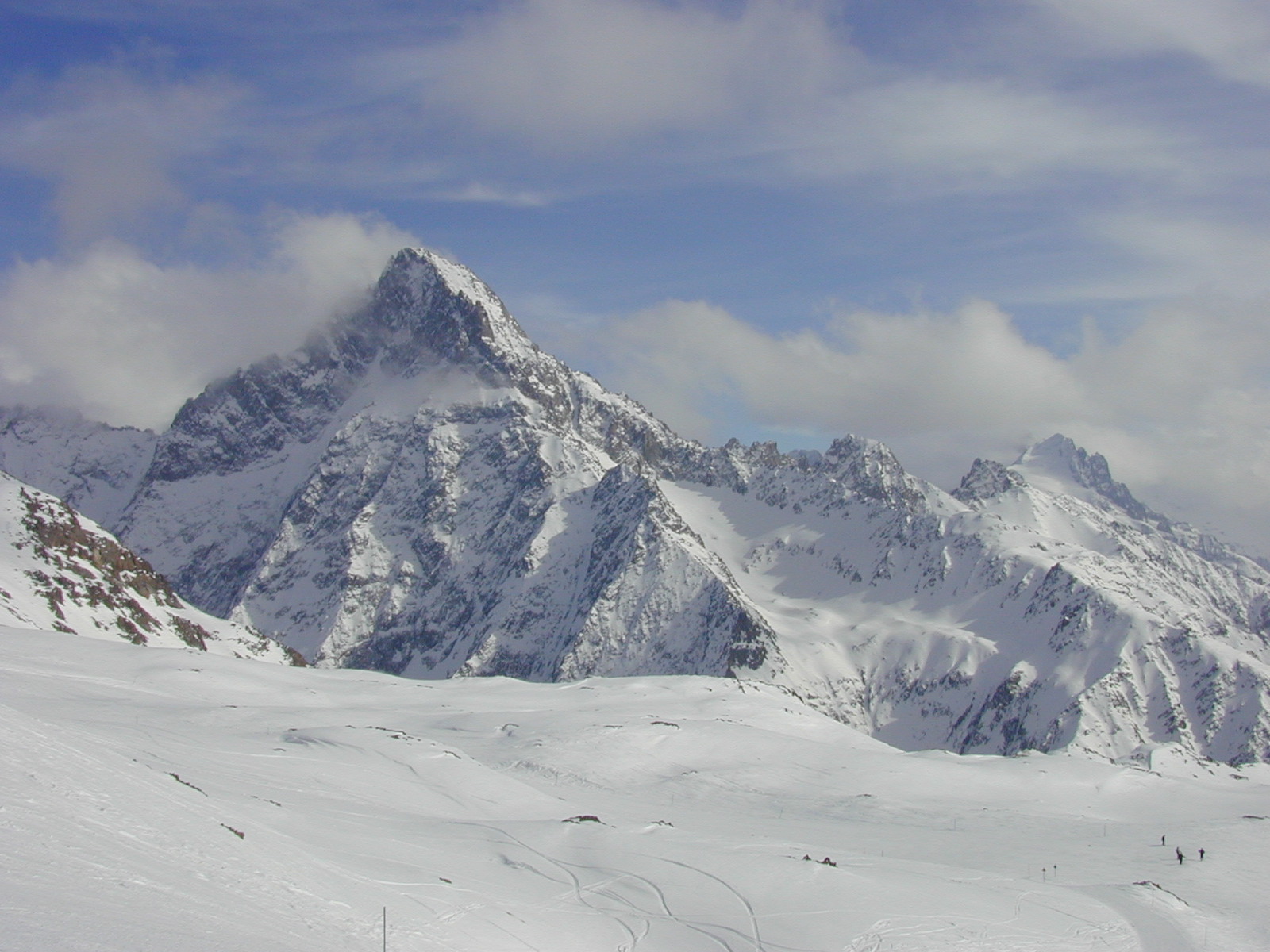 Aiguille du Plat de la Selle in winter | |
| Highest point | |
| Elevation | 3,596 m (11,798 ft) |
| Prominence | 423 m (1,388 ft)[1] |
| Listing | Alpine mountains above 3000 m |
| Coordinates | 44°57′53″N 06°13′18″E |
| Geography | |
 Aiguille du Plat de la Selle France | |
| Location | Rhône-Alpes, France |
| Parent range | Massif fed Écrins, Dauphiné Alps |
| Climbing | |
| First ascent | 28 June 1876 by Henri Cordier, Jakob Anderegg, and Andreas Maurer |
References
- "Aiguille du Plat de la Selle". peakbagging.top. Retrieved 6 November 2019.
- "The Aiguille du Plat de la Selle on SummitPost". summitpost.org. Retrieved 6 November 2019.
See also
- List of mountains of the Alps
This Auvergne-Rhône-Alpes geographical article is a stub. You can help Wikipedia by expanding it. |
На других языках
- [en] Aiguille du Plat de la Selle
[fr] Aiguille du Plat de la Selle
L'aiguille du Plat de la Selle est un sommet du massif des Écrins qui culmine à 3 596 mètres.[it] Aiguille du Plat de la Selle
L'Aiguille du Plat de la Selle (3.596 m s.l.m.) è una montagna della Catena Meije-Râteau-Soreiller nel Massiccio degli Écrins. Si trova nel dipartimento francese dell'Isère.Текст в блоке "Читать" взят с сайта "Википедия" и доступен по лицензии Creative Commons Attribution-ShareAlike; в отдельных случаях могут действовать дополнительные условия.
Другой контент может иметь иную лицензию. Перед использованием материалов сайта WikiSort.org внимательно изучите правила лицензирования конкретных элементов наполнения сайта.
Другой контент может иметь иную лицензию. Перед использованием материалов сайта WikiSort.org внимательно изучите правила лицензирования конкретных элементов наполнения сайта.
2019-2025
WikiSort.org - проект по пересортировке и дополнению контента Википедии
WikiSort.org - проект по пересортировке и дополнению контента Википедии