geo.wikisort.org - Bergen
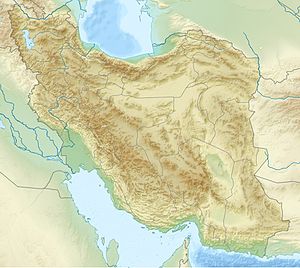
Sefid-Kuh, oder auch Sefid Kooh, ist ein 10 km südlich der iranischen Stadt Kermānschāh gelegener Berg. Der höchste Gipfel ist 2805 Meter hoch.
| Sefid-Kuh | ||
|---|---|---|
| Höhe | 2805 m | |
| Lage | Kermānschāh, Iran | |
| Koordinaten | 34° 11′ 51″ N, 47° 8′ 1″ O | |
|
| ||
На других языках
- [de] Sefid-Kuh
[en] Sefid Kuh (Kermanshah)
Sefid-Kooh is a mountain range of the Zagros Mountains System, located 10 kilometres (6.2 mi) to the south of Kermanshah in Kermanshah Province, western Iran.[es] Sefid-Kuh
Sefid-Kuh es una montaña que queda a 10 kilómetros al sur de Kermanshah, Irán. Su pico más alto alcanza los 2805 metros sobre el nivel del mar. La vertiente de aguas es la línea que separa dos distritos de Kermanshah: Dorood-Faraman y Sarfiroozabad de Mahidasht.Текст в блоке "Читать" взят с сайта "Википедия" и доступен по лицензии Creative Commons Attribution-ShareAlike; в отдельных случаях могут действовать дополнительные условия.
Другой контент может иметь иную лицензию. Перед использованием материалов сайта WikiSort.org внимательно изучите правила лицензирования конкретных элементов наполнения сайта.
Другой контент может иметь иную лицензию. Перед использованием материалов сайта WikiSort.org внимательно изучите правила лицензирования конкретных элементов наполнения сайта.
2019-2025
WikiSort.org - проект по пересортировке и дополнению контента Википедии
WikiSort.org - проект по пересортировке и дополнению контента Википедии
