geo.wikisort.org - Bergen
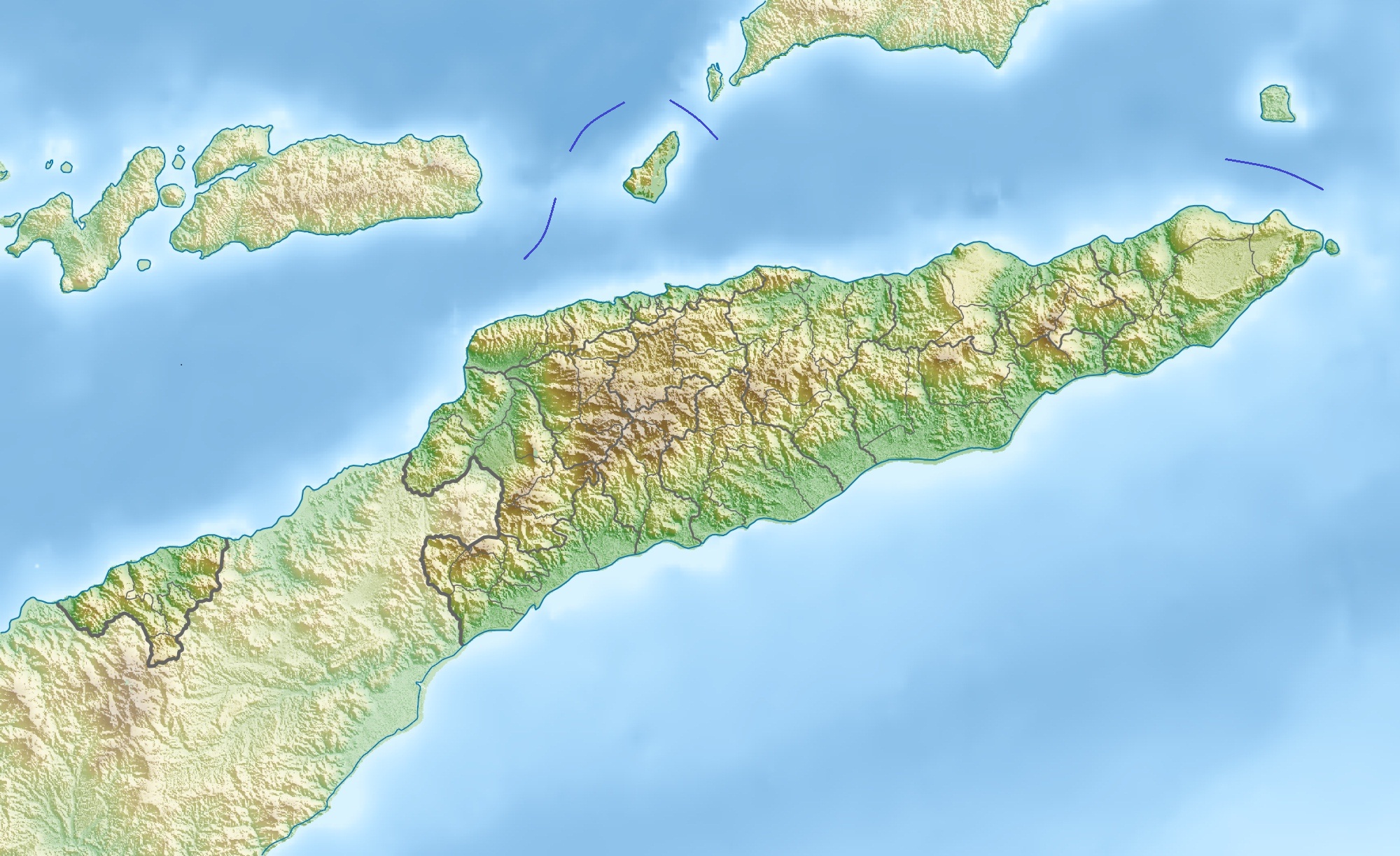
Der Mano Côco (Foho Manococo, Manucoco, Manucoco) ist mit 999 m die höchste Erhebung auf der zu Osttimor gehörenden Insel Atauro. Er liegt im Süden der Insel im Suco Macadade und ist ohne Klettern besteigbar.
| Mano Côco | ||
|---|---|---|

Blick von Nordosten auf den Berg | ||
| Höhe | 999 m | |
| Lage | Atauro, Osttimor | |
| Koordinaten | 8° 16′ 10″ S, 125° 34′ 26″ O | |
| ||
| Typ | vulkanischen, submarinen Ursprungs | |
| Normalweg | Per Fußweg von Anartuto aus erreichbar | |
| Besonderheiten | Höchster Punkt der Insel Atauro | |

Der Mano Côco liegt im Süden der Insel | ||
Natur
| Auf Timor und Wetar endemische und gefährdete Vogelarten im Gebiet des Mano Côco | |
| Vogelart | Information |
| Große Kuckuckstaube (Macropygia magna) | endemisch |
| Timortaube (Turacoena modesta) | gefährdet/endemisch |
| Grüne Timortaube (Treron psittaceus) | bedroht/endemisch |
| Rosakopf-Fruchttaube (Ducula rosacea) | gering gefährdet |
| Gelbkopflori (Trichoglossus euteles) | endemisch |
| Timorgerygone (Gerygone inornata) | endemisch |
| Orpheusdickkopf (Pachycephala orpheus) | endemisch |
| Sundapirol (Oriolus melanotis) | endemisch |
| Timorstutzschwanz (Urosphena subulata) | endemisch |
| Timorlaubsänger (Phylloscopus presbytes) | endemisch |
| Timordrossel (Zoothera peronii) | gefährdet/endemisch |
| Macklot-Mistelfresser (Dicaeum maugei) | endemisch |
| Sonnennektarvogel (Cinnyris solaris) | endemisch |
| Blaugrüne Papageiamadine (Erythrura tricolor) | unsicher |
Der Berg ist vulkanischen, submarinen Ursprungs.[1]
Die bewaldete Umgebung ist ein Naturreservat[2] und Teil der inselweiten Important Bird Area mit einer Fläche von 14.118 Hektar. Bis auf eine Höhe von 600 m wird Landwirtschaft betrieben. Über 700 m finden sich noch Bestände von Tropenwald, vor allem in den geschützten Tälern. Die Suche nach Feuerholz gefährdet allerdings den Wald.[3] Das Schutzgebiet erreicht man über Fußpfade von Anartuto aus. Dorthin gelangt man nur mit einem Geländewagen über eine Straße vom Küstenort Beloi aus.
 Tropischer Bergwald bedeckt die Hänge des Mano Côco
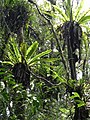 Im Bergwald


Siehe auch
- Liste der Vogelarten Atauros
Weblinks
Einzelnachweise
- University of Coimbra, Portugal, East Timor, The geomorfology
- UNTAET Reulation No. 2000/19 - On protected places (Memento vom 18. Oktober 2000 im Internet Archive) (PDF-Datei; 39 kB)
- BirdLife International: Atauro Island. Abgerufen am 10. Januar 2022.
На других языках
- [de] Mano Côco
[en] Manucoco
Manucoco, also referred to as Gunung Manucoco or Mount Manucoco, is a mountain in the Atauro Island subdistrict of the Dili District of East Timor. It stands near the southern end of Atauro Island, at the western end of Wetar Strait, some 25 km (16 mi) north of Dili, the nation's capital. The rugged topography of the island's highlands is a result of the erosion of uplifted, originally submarine, volcanoes from the Neogene period creating narrow, dissected ridges and steep slopes, with Manucoco forming the highest point. The upper levels of the mountain (above an elevation of 995 m (3,264 ft)) still carry patches of tropical semi-evergreen mountain forest in sheltered valleys, covering about 40 km2 (15 sq mi). The mountain, along with the whole of Atauro Island, has been identified as an Important Bird Area by BirdLife International because it supports populations of several of Timor’s and Wetar's restricted-range native bird species.[1]Другой контент может иметь иную лицензию. Перед использованием материалов сайта WikiSort.org внимательно изучите правила лицензирования конкретных элементов наполнения сайта.
WikiSort.org - проект по пересортировке и дополнению контента Википедии