geo.wikisort.org - Bergen
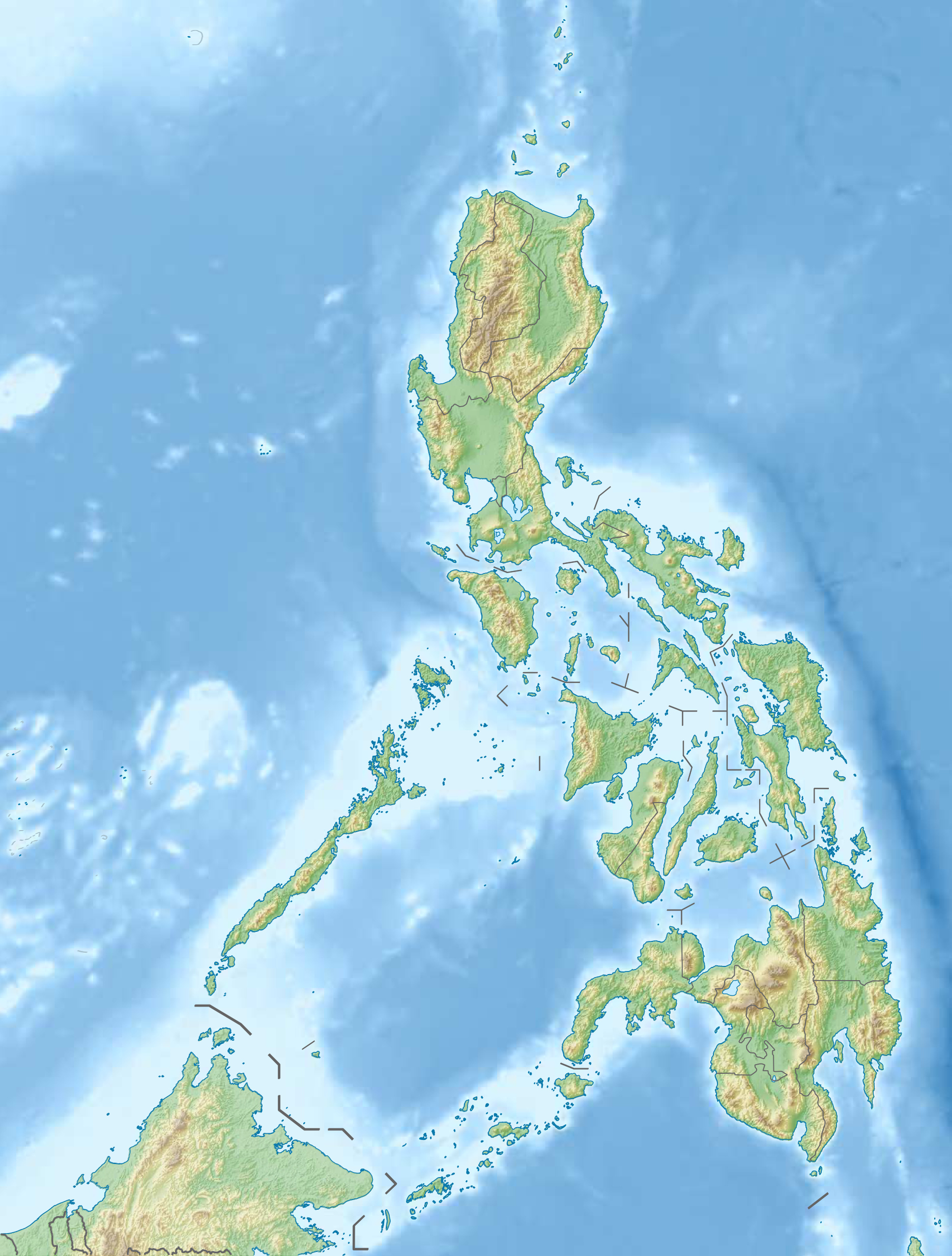
Der Malinao, auch Buhi oder Takit, ist ein 1548 m hoher Stratovulkan auf den Philippinen. Er liegt an der Grenze der Provinzen Albay und Camarines Sur, in der Region Bicol, auf der Insel Luzon in der Nähe der Vulkane Mayon und Masaraga.
| Malinao | ||
|---|---|---|
 | ||
| Höhe | 1548 m | |
| Lage | Insel Luzon, Philippinen | |
| Gebirge | Einzel stehender Berg | |
| Koordinaten | 13° 24′ 11″ N, 123° 36′ 28″ O | |
| ||
| Typ | Stratovulkan | |
| Gestein | Andesit | |
| Letzte Eruption | vor 60.000 Jahren | |
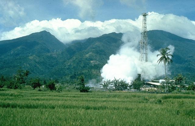
Der bewaldete Berg wird als erloschener Stratovulkan beschrieben, der vor 500.000 bis 60.000 Jahren aktiv war, also im Quartär. An der Ostseite des Vulkans befinden sich die ausgedehntesten Geothermalquellenfelder auf der Insel Luzon. Zwei ausgedehnte Thermalquellenfelder sind das Naglabong- und das Tiwi-Thermalquellenfeld.
Weblinks
- Malinao (Vulkan) im Global Volcanism Program der Smithsonian Institution (englisch)
- https://www.mountain-forecast.com/peaks/Mt-Malinao
На других языках
- [de] Malinao (Vulkan)
[en] Malinao Volcano
Mount Malinao is a potentially active[3] stratovolcano located in the Bicol Region of the Philippines. The volcano displays strong fumarolic activity which is harnessed for generating electricity. Located on its slope is Tiwi Geothermal Power Plant, one of the first geothermal energy plant commissioned in the country.[4][fr] Malinao (volcan)
Le Malinao est un volcan des Philippines situé sur l'île de Luçon et culminant à 1 548 mètres d'altitude[1].Текст в блоке "Читать" взят с сайта "Википедия" и доступен по лицензии Creative Commons Attribution-ShareAlike; в отдельных случаях могут действовать дополнительные условия.
Другой контент может иметь иную лицензию. Перед использованием материалов сайта WikiSort.org внимательно изучите правила лицензирования конкретных элементов наполнения сайта.
Другой контент может иметь иную лицензию. Перед использованием материалов сайта WikiSort.org внимательно изучите правила лицензирования конкретных элементов наполнения сайта.
2019-2026
WikiSort.org - проект по пересортировке и дополнению контента Википедии
WikiSort.org - проект по пересортировке и дополнению контента Википедии