geo.wikisort.org - Isola
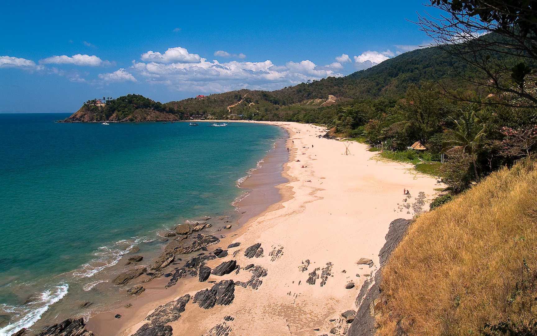
Ko Lanta Yai (in lingua thailandese: เกาะลันตาใหญ่) è un'isola della Thailandia, che appartiene alla provincia di Krabi.
| Ko Lanta Yai เกาะลันตาใหญ่ | |
|---|---|
 | |
| Geografia fisica | |
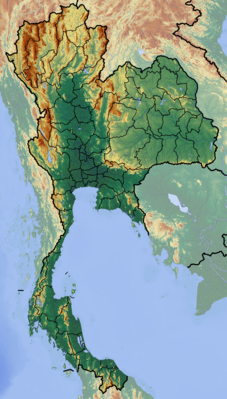
| Localizzazione | Mare delle Andamane |
| Coordinate | 7°35′N 99°03′E |
| Geografia politica | |
| Stato | |
| Provincia | Provincia di Krabi |
| Cartografia | |
 Ko Lanta Yai | |
| voci di isole della Thailandia presenti su Wikipedia | |
Altri progetti
 Wikimedia Commons contiene immagini o altri file su Ko Lanta Yai
На других языках
[en] Ko Lanta Yai
Ko Lanta Yai (Thai: เกาะลันตาใหญ่) is an island in the Strait of Malacca off the west coast of Thailand, between the Phi Phi Islands and the mainland. It is administratively part of Krabi Province, most of which is on the mainland. Together with neighboring Ko Lanta Noi, which forms Ko Lanta archipelago and several other islands it forms the amphoe of Ko Lanta District. The island is 25 km (16 mi) long and 6 km (3.7 mi) wide, with an area of 81 km2 (31 sq mi), and a small portion of it belongs to the Mu Ko Lanta National Park.[1] The area was designated as the 62nd national park of Thailand in 1990.- [it] Ko Lanta Yai
[ru] Ланта-Яй
Ланта-Яй[1] (тайск. เกาะลันตาใหญ่) — остров в Андаманском море, у западного побережья Таиланда[2].Текст в блоке "Читать" взят с сайта "Википедия" и доступен по лицензии Creative Commons Attribution-ShareAlike; в отдельных случаях могут действовать дополнительные условия.
Другой контент может иметь иную лицензию. Перед использованием материалов сайта WikiSort.org внимательно изучите правила лицензирования конкретных элементов наполнения сайта.
Другой контент может иметь иную лицензию. Перед использованием материалов сайта WikiSort.org внимательно изучите правила лицензирования конкретных элементов наполнения сайта.
2019-2026
WikiSort.org - проект по пересортировке и дополнению контента Википедии
WikiSort.org - проект по пересортировке и дополнению контента Википедии