geo.wikisort.org - Île
Les îles des Trois Rois, Three Kings Islands ou Manawa-tawhi, forment un archipel néozélandais de la mer de Tasman. Elles sont situées à 55 km au Nord-Ouest du cap Reinga.
Cet article est une ébauche concernant le monde insulaire et la Nouvelle-Zélande.
Vous pouvez partager vos connaissances en l’améliorant (comment ?) selon les recommandations des projets correspondants.
| Îles des Trois Rois Three Kings Islands (en) | |||

| |||
| Géographie | |||
|---|---|---|---|
| Pays | |||
| Localisation | Mer de Tasman (océan Pacifique) | ||
| Coordonnées | 34° 10′ 05″ S, 172° 05′ 25″ E | ||
| Superficie | 4,86 km2 | ||
| Nombre d'îles | 13 | ||
| Île(s) principale(s) | King Island | ||
| Point culminant | 294 m sur King Island | ||
| Administration | |||
| Autres informations | |||
| Fuseau horaire | UTC+12 | ||
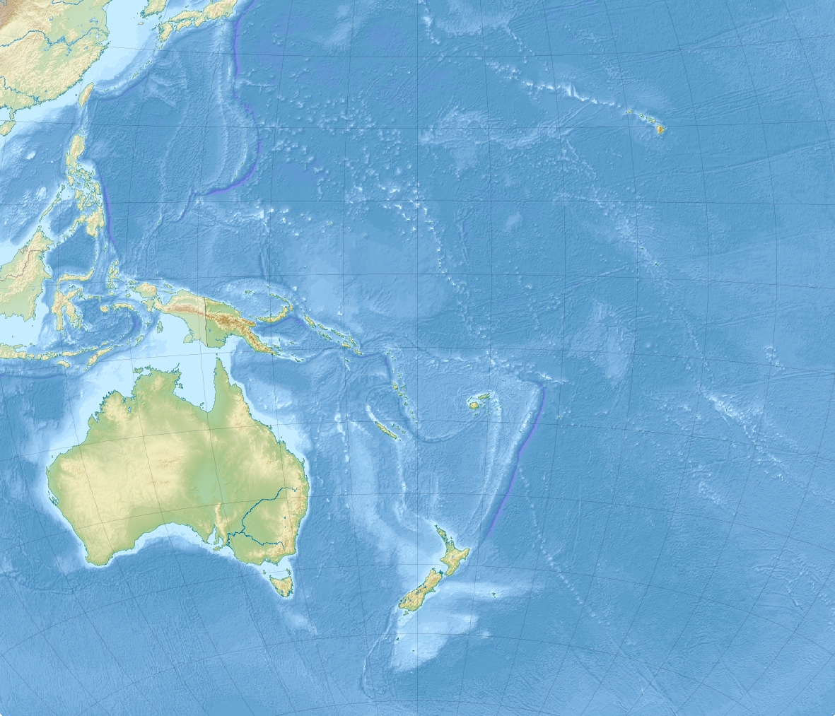
| Géolocalisation sur la carte : Océanie
Géolocalisation sur la carte : Nouvelle-Zélande
| |||
| Îles en Nouvelle-Zélande | |||
| modifier |
|||

Îles principales
- King Island - Great Island
- North East Island
- Farmers Rocks
- South West Island
- Princes Islands
- West Island
 Portail de la Nouvelle-Zélande
  Portail du monde insulaire
  Portail de l’océan Pacifique
На других языках
[de] Three Kings Islands
Die Three Kings Islands (Māori: Manawa-tawhi oder Ngā Motu Karaka, deutsch: Drei-Königs-Inseln) sind eine kleine Gruppe von 13 Inseln mit einer Gesamtfläche von 4,86 km² ungefähr 55 Kilometer nordwestlich von Cape Reinga, dem nordwestlichsten Punkt der Nordinsel Neuseelands. Hier treffen der Pazifik und die Tasmansee zusammen.[en] Manawatāwhi / Three Kings Islands
The Manawatāwhi / Three Kings Islands (sometimes just known collectively by the Māori name for the largest island, Manawatāwhi) are a group of 13 uninhabited islands about 55 kilometres (34 mi) northwest of Cape Reinga / Te Rerenga Wairua, New Zealand, where the South Pacific Ocean and Tasman Sea converge. They measure 6.85 km2 (2.64 sq mi) in area.[1] The islands are on a submarine plateau, the Three Kings Bank, and are separated from the New Zealand mainland by an 8 km wide, 200 to 300 m deep submarine trough. Therefore, despite relative proximity to the mainland, the islands are listed with the New Zealand Outlying Islands. The islands are an immediate part of New Zealand, but not part of any region or district, but instead Area Outside Territorial Authority, like all the other outlying islands except the Solander Islands.- [fr] Îles des Trois Rois
[it] Isole dei Tre Re
Le isole dei Tre Re costituiscono un arcipelago neozelandese del mar di Tasman situato a nord-ovest del capo Reinga, l'estremità settentrionale dell'Isola del Nord della Nuova Zelanda.[ru] Три-Кингс
Три-Кингс[1] (англ. Three Kings Islands, Маорийиские названия островов — Manawa-tawhi или Ngā Motu Karaka) — группа из 13 островов, расположенная в 55 км к северо-западу от мыса Реинга, самой северной точки острова Северный (Новая Зеландия). Площадь островов составляет 4,86 км². Координаты — 34°09′14″ ю. ш. 172°08′24″ в. д.HGЯO.Текст в блоке "Читать" взят с сайта "Википедия" и доступен по лицензии Creative Commons Attribution-ShareAlike; в отдельных случаях могут действовать дополнительные условия.
Другой контент может иметь иную лицензию. Перед использованием материалов сайта WikiSort.org внимательно изучите правила лицензирования конкретных элементов наполнения сайта.
Другой контент может иметь иную лицензию. Перед использованием материалов сайта WikiSort.org внимательно изучите правила лицензирования конкретных элементов наполнения сайта.
2019-2026
WikiSort.org - проект по пересортировке и дополнению контента Википедии
WikiSort.org - проект по пересортировке и дополнению контента Википедии