geo.wikisort.org - Île
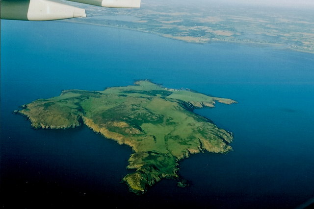
L'île Lambay (en irlandais : Reachra), est une île de 2,5 km2 située en Irlande, dans le comté de Fingal, en face de Portrane, au nord-ouest de Dublin, en mer d'Irlande.
Cet article est une ébauche concernant le monde insulaire et l’Irlande.
Vous pouvez partager vos connaissances en l’améliorant (comment ?) selon les recommandations des projets correspondants.
| Île Lambay Reachra (ga) | |||
| |||
| Géographie | |||
|---|---|---|---|
| Pays | |||
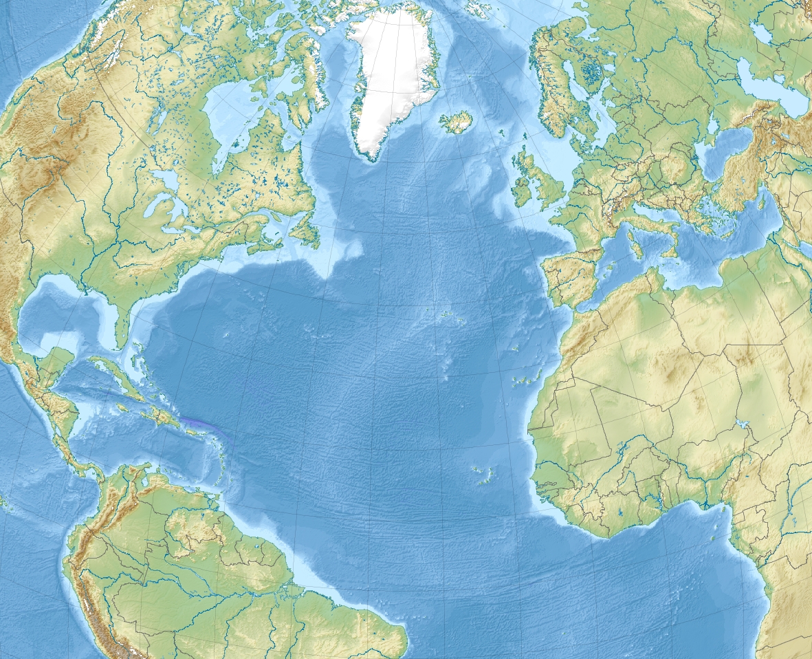
| Localisation | Mer d'Irlande (Océan Atlantique) | ||
| Coordonnées | 53° 29′ 26″ N, 6° 00′ 54″ O | ||
| Superficie | 2,5 km2 | ||
| Point culminant | 127 m | ||
| Administration | |||
| Province | Leinster | ||
| Comté | Fingal | ||
| Autres informations | |||
| Géolocalisation sur la carte : océan Atlantique
Géolocalisation sur la carte : Irlande
| |||
| Île en Irlande | |||
| modifier |
|||

Histoire
Connue de Ptolémée sous le nom de Limni, elle présente des tombes datant de l'âge du bronze et de l'époque romaine. Ces dernières sont peut-être un témoignage de la fuite de Venutius chassé du trône des Brigantes en 71 par le gouverneur Cerialis, ou de la conquête conduite en 76 par le roi Túathal, ou bien encore de l'expédition armée, selon Tacite, en 81 par le général Agricola. En 530, selon son hagiographie, Saint Colomba établit dans l'île un monastère, détruit en 795 par le premier raid viking en Irlande. Propriété de l'archevêque de Dublin à partir de 1181, elle est dès lors louée à de riches propriétaires pour l'estive des moutons. En 1691, durant la conquête willamite, elle sert de camp d'internement à plus d'un millier de jacobites faits prisonniers à la bataille d'Aughrim. C'est aujourd'hui une propriété privée de la famille Baring.

 Portail de l’Irlande
  Portail du monde insulaire
На других языках
[de] Lambay Island
Lambay Island (irisch Reachrainn, älter Reachra) ist eine bis zu 126 m hohe, auf drei Seiten von Klippen umgebene Insel. Sie liegt nordöstlich von Dublin, sechs Kilometer vor dem Ortsteil Portraine des Küstenortes Donabate im County Fingal in der Irischen See. Sie ist mit 241 Hektar die größte ostirische Insel. Der irische Name Reachra wurde von den Normannen durch den altnordischen Lambay (deutsch „Schafsinsel“) ersetzt, da hier Schafe vom Festland vom Frühling bis zum Sommer weideten.[2][en] Lambay Island
Lambay Island (Irish: Reachrainn),[2] often simply Lambay, is an island in the Irish Sea off the coast of north County Dublin, Ireland. The largest island off the east coast of Ireland, it is four kilometres (2 mi) offshore from the headland at Portrane, and is the easternmost point of the province of Leinster. Of volcanic origin, it has been inhabited since the prehistoric period and has been the subject of multiple archaeological studies. Lambay has notable populations of seabirds, a range of local fauna, some not found elsewhere in Ireland, and a colony of wallabies, as well as more than 300 plant varieties, and was the subject of major studies of flora and bird, and a major multidisciplinary study of flora and fauna between 1905 and 1907. The island is privately owned by a trust for members of certain branches of the Baring family[3] and managed by the current Baron Revelstoke. It has a very small permanent population and few buildings but hosts some day visitors and short-stay guests, and there is a working farm.[es] Isla de Lambay
La Isla de Lambay (en irlandés: Reachra, que significa lugar de muchos naufragios) está situada frente a la costa norte del Condado de Dublín, Irlanda. Su localización es 53°29′30″N 6°01′00″O y es el punto geográfico más oriental en la República de Irlanda.- [fr] Île Lambay
[it] Lambay
L'isola di Lambay (Reachrainn in gaelico irlandese[2]) è un'isola del mare d'Irlanda situata circa 4 chilometri al largo della costa Irlandese. Fa parte della contea di Fingal ed è il punto più orientale della Repubblica d'Irlanda.[ru] Ламбей (остров)
Остров Ламбей (в переводе со старонорвежск. языка «остров ягнят», др.‑ирл. Rechru, ирл. Reachra, англ. Lambay) — небольшой остров недалеко от берега в Ирландском море. Это самый крупный остров у восточного побережья Ирландии, а также самая крайняя восточная точка страны. Административно относится к графству Дублин. До сих пор является частным владением семьи Баринг.Другой контент может иметь иную лицензию. Перед использованием материалов сайта WikiSort.org внимательно изучите правила лицензирования конкретных элементов наполнения сайта.
WikiSort.org - проект по пересортировке и дополнению контента Википедии