geo.wikisort.org - Île
L'Île Gaya est une île de Malaisie à dix minutes de la ville de Kota Kinabalu dans l'État de Sabah et fait partie du parc national de Tunku Abdul Rahman.
Cet article est une ébauche concernant le monde insulaire et la Malaisie.
Vous pouvez partager vos connaissances en l’améliorant (comment ?) selon les recommandations des projets correspondants.
| Gaya Pulau Gaya (ms) | ||

| ||
| Géographie | ||
|---|---|---|
| Pays | ||
| Localisation | Mer de Chine méridionale | |
| Coordonnées | 6° 01′ 05″ N, 116° 02′ 07″ E | |
| Superficie | 14,65 km2 | |
| Point culminant | 300 m | |
| Administration | ||
| État | Sabah | |
| Démographie | ||
| Population | 500 hab. (2005) | |
| Densité | 34,13 hab./km2 | |
| Autres informations | ||
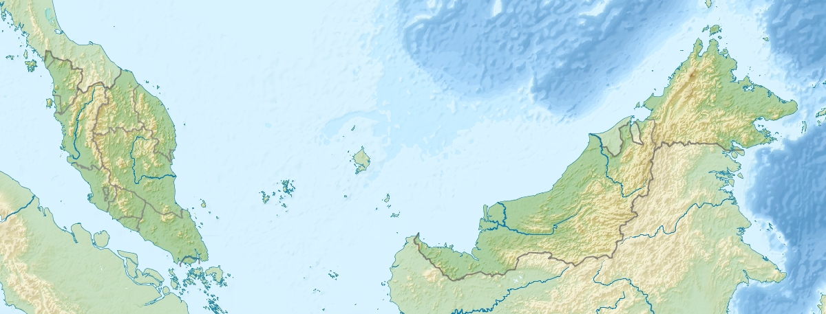
| Géolocalisation sur la carte : Malaisie
| ||
| Île en Malaisie | ||
| modifier |
||
Notes et références
 Portail de la Malaisie
  Portail du monde insulaire
На других языках
[de] Pulau Gaya
Pulau Gaya (engl. Gaya Island) ist eine zu Malaysia gehörende Insel im Südchinesischen Meer westlich von Borneo. Sie liegt etwa zwei Kilometer vor der Küste, getrennt durch den South Channel, und gehört zu Kota Kinabalu im malaysischen Bundesstaat Sabah.[en] Gaya Island
Gaya Island (Malay: Pulau Gaya) is a sizeable Malaysian island of 1,465 ha, just 10 minutes off Kota Kinabalu, Sabah and forms part of the Tunku Abdul Rahman National Park. Gaya Island derived its name from the Bajau word "Gayo" which means big and occupies an area of 15 km2 (3,700 acres) with an elevation of up to 300 metres. Several ridges rise more than 600 feet (180 m), peaking at 1,000 feet (300 m), along the backbone of Gaya Island.- [fr] Île Gaya
Текст в блоке "Читать" взят с сайта "Википедия" и доступен по лицензии Creative Commons Attribution-ShareAlike; в отдельных случаях могут действовать дополнительные условия.
Другой контент может иметь иную лицензию. Перед использованием материалов сайта WikiSort.org внимательно изучите правила лицензирования конкретных элементов наполнения сайта.
Другой контент может иметь иную лицензию. Перед использованием материалов сайта WikiSort.org внимательно изучите правила лицензирования конкретных элементов наполнения сайта.
2019-2026
WikiSort.org - проект по пересортировке и дополнению контента Википедии
WikiSort.org - проект по пересортировке и дополнению контента Википедии