geo.wikisort.org - Île
L'île Chatham se situe dans le comté de Manjimup de la région de Great Southern en Australie occidentale. L'île qui fait 106 hectares[1] est située à environ 1,1 km au large du parc national d'Entrecasteaux et à 3 km de la plage Mandalay[2]. Le site est classé réserve naturelle depuis 1973.
Cet article est une ébauche concernant le monde insulaire et l’Australie-Occidentale.
Vous pouvez partager vos connaissances en l’améliorant (comment ?) selon les recommandations des projets correspondants.
Pour les articles homonymes, voir île Chatham.
| Île Chatham | ||||
 Île Chatham Island vue de Long Point, Parc national d'Entrecasteaux | ||||
| Géographie | ||||
|---|---|---|---|---|
| Pays | ||||
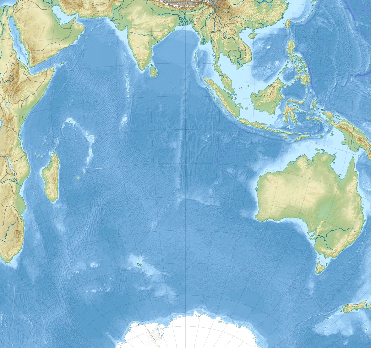
| Localisation | Océan Indien | |||
| Coordonnées | 35° 01′ 47″ S, 116° 29′ 43″ E | |||
| Superficie | 0,99 km2 | |||
| Point culminant | 89 m | |||
| Administration | ||||
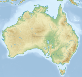
| État | Australie-Occidentale | |||
| Région | Great Southern | |||
| Comté | Manjimup | |||
| Démographie | ||||
| Population | Aucun habitant | |||
| Autres informations | ||||
| Géolocalisation sur la carte : Australie-Occidentale
Géolocalisation sur la carte : océan Indien
Géolocalisation sur la carte : Australie
| ||||
| Île en Australie | ||||
| modifier |
||||

L'île s'appelait initialement Cap chatham, nom qui lui a été donné par George Vancouver au cours d'une mission exploratoire à bord du HMS Discovery en 1791. Elle a ensuite été renommé Île Chatham[3].
Références
- (en) Cet article est partiellement ou en totalité issu de l’article de Wikipédia en anglais intitulé « Chatham Island (Western Australia) » (voir la liste des auteurs).
- (en) « Department of the Environment and Energy », sur Department of the Environment and Energy (consulté le )
- « Naturebase - D'Entrecasteaux National Park », sur web.archive.org, (consulté le )
- « Walpole-Nornalup National Park Management Plan » [archive du ], (consulté le )
Liens externes
 Portail de l’Australie
  Portail du monde insulaire
На других языках
[de] Chatham Island (Western Australia)
Chatham Island ist eine unbewohnte Insel, die rund 1200 Meter vor der Südküste von Western Australia nahe dem D’Entrecasteaux-Nationalpark liegt. Die knapp einen Quadratkilometer große Insel gehört zum South Ward des Manjimup Shire in der Great Southern Region von Western Australia. Der nächste Ort auf dem Festland ist Walpole.[en] Chatham Island (Western Australia)
Chatham Island is located in the South Ward (Walpole) of Manjimup Shire in the Great Southern region of Western Australia. It is approximately 1.1 km (0.68 mi) offshore from D'Entrecasteaux National Park and 3 km (1.9 mi) offshore from Mandalay Beach.[1] Declared a class 1A Nature reserve in 1973, the island has a total area of 106 hectares (260 acres).[2]- [fr] Île Chatham (Australie)
[it] Chatham Island (Australia Occidentale)
Chatham Island è un'isola disabitata nelle acque dell'oceano Indiano, al largo della costa dell'Australia Occidentale, nella regione del South West. Appartiene alla Local government area della Contea di Manjimup.Текст в блоке "Читать" взят с сайта "Википедия" и доступен по лицензии Creative Commons Attribution-ShareAlike; в отдельных случаях могут действовать дополнительные условия.
Другой контент может иметь иную лицензию. Перед использованием материалов сайта WikiSort.org внимательно изучите правила лицензирования конкретных элементов наполнения сайта.
Другой контент может иметь иную лицензию. Перед использованием материалов сайта WikiSort.org внимательно изучите правила лицензирования конкретных элементов наполнения сайта.
2019-2026
WikiSort.org - проект по пересортировке и дополнению контента Википедии
WikiSort.org - проект по пересортировке и дополнению контента Википедии