geo.wikisort.org - Île
L'île Campobello est une île canadienne qui se trouve dans la baie de Fundy, près des entrées des baies de Passamaquoddy et Cobscook. L'île fait partie du comté de Charlotte dans la province du Nouveau-Brunswick. L'île n’a pas de lien routier avec le reste du Canada mais est reliée par le pont Franklin Delano Roosevelt à Lubec dans l'État du Maine, ville située à l'extrémité Est des États-Unis.
Cet article est une ébauche concernant le monde insulaire et le Canada.
Vous pouvez partager vos connaissances en l’améliorant (comment ?) selon les recommandations des projets correspondants.
Pour les articles homonymes, voir Campobello (homonymie).
Pour la communauté rurale, voir Campobello Island.
| Île Campobello | ||||
 Phare sur l'île Campobello. | ||||
| Géographie | ||||
|---|---|---|---|---|
| Pays | ||||
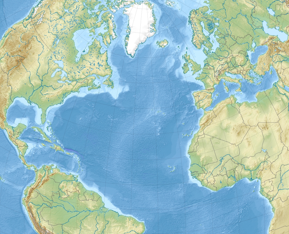
| Localisation | Baie de Fundy (Océan Atlantique) | |||
| Coordonnées | 44° 53′ N, 66° 56′ O | |||
| Superficie | 39,6 km2 | |||
| Administration | ||||
| Province | Nouveau-Brunswick | |||
| Comté | Charlotte | |||
| Démographie | ||||
| Population | 872 hab. (2016) | |||
| Densité | 22,02 hab./km2 | |||
| Géolocalisation sur la carte : Canada
Géolocalisation sur la carte : océan Atlantique
Géolocalisation sur la carte : Nouveau-Brunswick
| ||||
| modifier |
||||

La population permanente de l'île en 2016 était de 872 habitants. Mesurant 14 kilomètres de long sur environ cinq kilomètres de large, elle développe une superficie de 39,6 kilomètres carrés.
Voir aussi
Articles connexes
- Parc international Roosevelt de Campobello
 Portail du Nouveau-Brunswick
  Portail du monde insulaire
На других языках
[de] Campobello Island
Campobello Island (französisch Île Campobello) ist eine in der Passamaquoddy Bay östlich von Lubec (Maine) gelegene, zu Kanada gehörende Insel im Charlotte County in der Provinz New Brunswick. Auf der etwas weniger als 40 km² großen Insel leben dauerhaft etwa 872 Einwohner (Stand 2016) in den Siedlungen Welshpool und Wilson's Beach. Sie sind größtenteils Nachkommen von Ende des 18. Jahrhunderts hierher geflohenen Loyalisten.[en] Campobello Island
Campobello Island (/ˌkæmpəˈbɛloʊ/,[2][3] also US: /-poʊˈ-/)[4] is the largest and only inhabited island in Campobello, a civil parish in southwestern New Brunswick,[5] near the border with Maine.[6] The island's permanent population in 2016 was 872.[7] It is the site of the Roosevelt Campobello International Park and of Herring Cove Provincial Park.- [fr] Île Campobello
[it] Campobello Island
Campobello Island è un'isola canadese posta all'ingresso della baia di Passamaquoddy, vicino all'entrata alla baia di Cobscook e all'interno della baia di Fundy. L'isola fa parte della Charlotte County, Nuovo Brunswick, ma è collegata dal Franklin Delano Roosevelt Bridge con Lubec, Maine, la punta più orientale degli Stati Uniti.[ru] Кампобелло (остров)
О́стров Кампбе́лло[1] (англ. Campobello Island) — канадский остров, расположенный в заливе Фанди, около входа в бухты Пассамакуодди и Кобскук, на границе с США.Другой контент может иметь иную лицензию. Перед использованием материалов сайта WikiSort.org внимательно изучите правила лицензирования конкретных элементов наполнения сайта.
WikiSort.org - проект по пересортировке и дополнению контента Википедии