geo.wikisort.org - Île
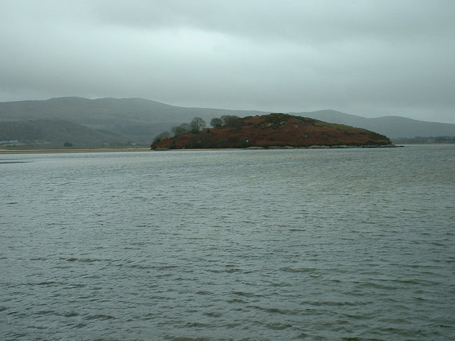
Ynys Gifftan est une île du pays de Galles située dans le Gwynedd, entre Portmeirion et Talsarnau (en).
Cet article est une ébauche concernant le monde insulaire et le pays de Galles.
Vous pouvez partager vos connaissances en l’améliorant (comment ?) selon les recommandations des projets correspondants.
| Ynys Gifftan | ||
| ||
| Géographie | ||
|---|---|---|
| Pays | ||
| Archipel | Îles Britanniques | |
| Coordonnées | 52° 54′ 39″ N, 4° 04′ 49″ O | |
| Superficie | 0,07 km2 | |
| Point culminant | 38 m | |
| Administration | ||
| Nation constitutive | ||
| Démographie | ||
| Population | Aucun habitant | |
| Autres informations | ||
| Fuseau horaire | UTC±00:00 | |
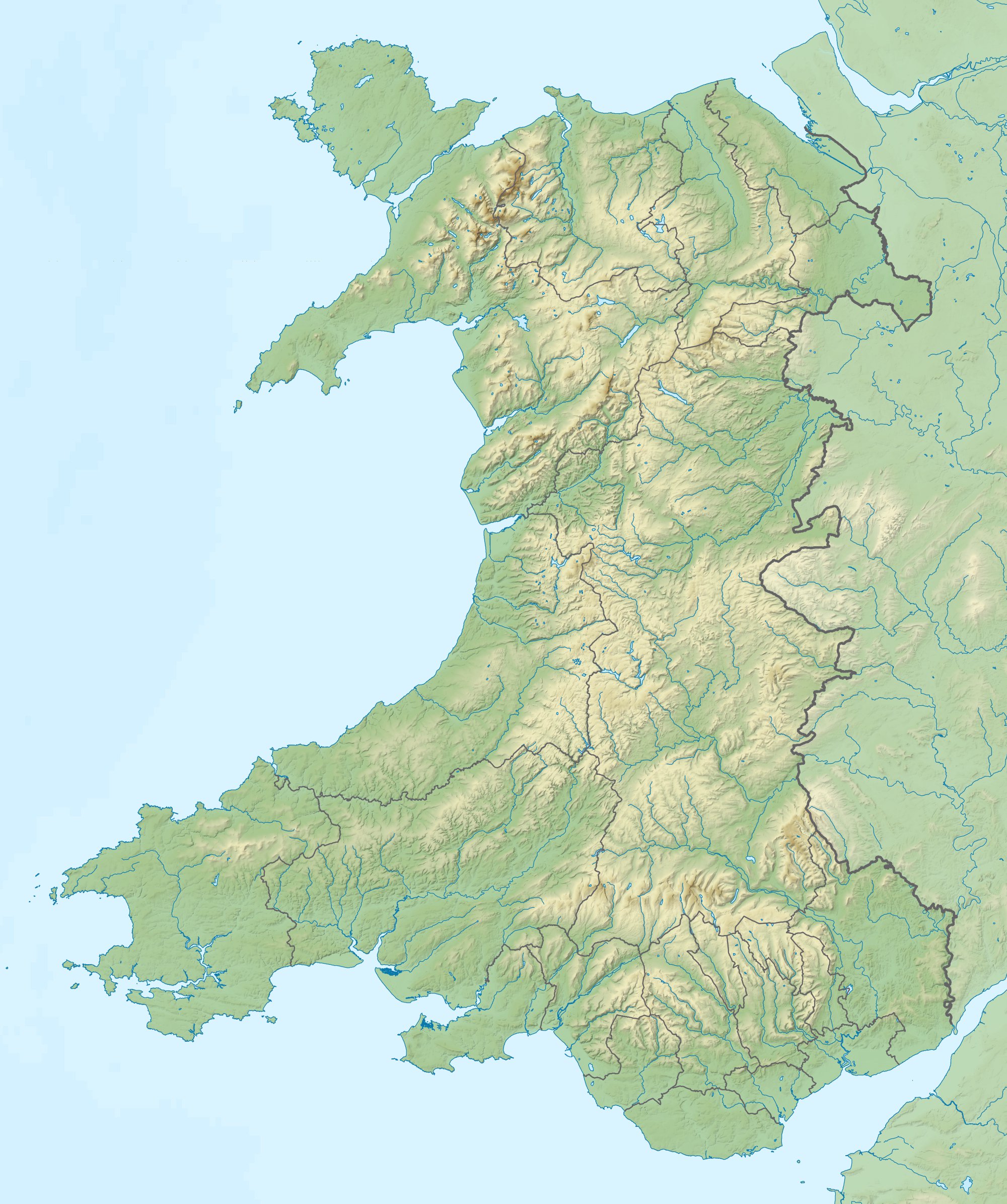
| Géolocalisation sur la carte : pays de Galles
| ||
| Îles au Royaume-Uni | ||
| modifier |
||
L'île, habitée jusqu'au milieu du XXe siècle[1], est aujourd'hui déserte.
Étymologie
Le nom de l'île est composé du mot gallois Ynys (« Île ») et de Gifftan (« Cadeau d'Anne »).[réf. nécessaire]
Faune et flore
Cette section est vide, insuffisamment détaillée ou incomplète. Votre aide est la bienvenue ! Comment faire ?
Histoire
Cette section est vide, insuffisamment détaillée ou incomplète. Votre aide est la bienvenue ! Comment faire ?
Au début du XVIIIe siècle, la reine Anne fit don de l'île aux ancêtres de Jasset David Cody Ormsby-Gore, 7e Baron Harlech (en)[2].
Notes et références
- (en) Steve Plant, A Wander Around the Coast of Wales, Fast-Print Publishing, 2014, p. 119 (extrait en ligne). (ISBN 1780357613)
- (en) Carl Stroud, « Isle of you – Rent your own island complete with a farmhouse and incredible views for just £500-a-month – but there is catch », The Sun, 19 juin 2017.
Voir aussi
Bibliographie
- John Henry Ingram, The Islands of England : A Survey of the Islands Around England and Wales, and the Channel Islands, Batsford, 1952.
- Richard Deacon, Islands of England and Wales, Osprey Publishing, 1974. (ISBN 0850451663)
- Julian Holland, Exploring the Islands of England and Wales : Including the Channel Islands and the Isle of Man, Frances Lincoln Limited, 2007. (ISBN 0711227438)
Articles connexes
Liens externes
- (en) « Ynys Gifftan » sur le site Hill Bagging – Database of British and Irish Hills
- (en) « Ynys Gifftan Island » sur le site Walesdirectory
- (en) « Ynys Gifftan » sur le site SummitPost
- (en) « Ynys Giftan Island, Talsarnau, Gwynedd, LL48 6EN » [PDF] sur le site Strutt & Parker
 Portail du pays de Galles
  Portail du monde insulaire
На других языках
[en] Ynys Gifftan
Ynys Gifftan is an island near the south east shore of Traeth Bach, the Dwyryd estuary near Portmeirion in Gwynedd, north Wales. There is a public footpath to it across the estuary marked on Ordnance Survey maps but has no definable marks that make it obvious; it can be reached on foot at low tide and is 38 metres (125 ft) high.[1] The island has been uninhabited since the mid-1960s and the island's single cottage is in a state of disrepair.[2] It is one of 43 (unbridged) tidal islands which may be reached on foot from the mainland of Great Britain.[3]- [fr] Ynys Gifftan
Текст в блоке "Читать" взят с сайта "Википедия" и доступен по лицензии Creative Commons Attribution-ShareAlike; в отдельных случаях могут действовать дополнительные условия.
Другой контент может иметь иную лицензию. Перед использованием материалов сайта WikiSort.org внимательно изучите правила лицензирования конкретных элементов наполнения сайта.
Другой контент может иметь иную лицензию. Перед использованием материалов сайта WikiSort.org внимательно изучите правила лицензирования конкретных элементов наполнения сайта.
2019-2026
WikiSort.org - проект по пересортировке и дополнению контента Википедии
WikiSort.org - проект по пересортировке и дополнению контента Википедии