geo.wikisort.org - Île
South Havra est une île des Shetland.
- Portail de l’Écosse
- Portail du monde insulaire
| South Havra | ||
| Géographie | ||
|---|---|---|
| Pays | ||
| Archipel | Shetland | |
| Localisation | Océan Atlantique | |
| Coordonnées | 60° 01′ 31″ N, 1° 21′ 11″ O | |
| Géologie | Île continentale | |
| Administration | ||
| Nation constitutive | Écosse | |
| Council Area | Shetland | |
| Autres informations | ||
| Découverte | Préhistoire | |
| Fuseau horaire | UTC+0 | |
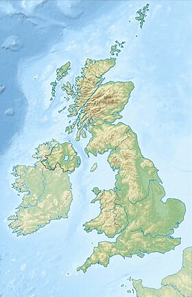
| Géolocalisation sur la carte : Shetland
| ||
| Îles au Royaume-Uni | ||
| modifier |
||
На других языках
[en] South Havra
South Havra (Scots: Sooth Haevra; Old Norse: Hafrey),[5] formerly Hevera, is an uninhabited island in the Scalloway Islands, Shetland, Scotland.[es] South Havra
South Havra es una de las islas Scalloway, pertenecientes al archipiélago de las islas Shetland, en Escocia. La isla permanece deshabitada desde 1923.[1] Se encuentra ubicada al sur de Burra y al oeste de la península meridional de la isla Mainland.- [fr] South Havra
[it] South Havra
South Havra (in antico norreno: Hafrey, "isola delle pecore")[1] è un'isola disabitata delle isole Scalloway, nelle Shetland in Scozia.Текст в блоке "Читать" взят с сайта "Википедия" и доступен по лицензии Creative Commons Attribution-ShareAlike; в отдельных случаях могут действовать дополнительные условия.
Другой контент может иметь иную лицензию. Перед использованием материалов сайта WikiSort.org внимательно изучите правила лицензирования конкретных элементов наполнения сайта.
Другой контент может иметь иную лицензию. Перед использованием материалов сайта WikiSort.org внимательно изучите правила лицензирования конкретных элементов наполнения сайта.
2019-2025
WikiSort.org - проект по пересортировке и дополнению контента Википедии
WikiSort.org - проект по пересортировке и дополнению контента Википедии

