geo.wikisort.org - Île
Soay Beag (en écossais Sòdhaigh Beag) est une petite île inhabitée située entre Harris au sud et Lewis au nord, dans l'archipel des Hébrides extérieures, au Nord-Ouest de l'Écosse. Elle se trouve juste au nord-ouest de la plus grande île de Soay Mòr et est accessible à marée basse.
Pour les articles homonymes, voir Soay.
| Soay Beag Sòdhaigh Beag (gd) | ||
| Géographie | ||
|---|---|---|
| Pays | ||
| Archipel | Hébrides extérieures | |
| Localisation | Océan Atlantique | |
| Coordonnées | 57° 56′ 37″ N, 6° 58′ 44″ O | |
| Point culminant | non nommé (37 m) | |
| Géologie | Île continentale | |
| Administration | ||
| Nation constitutive | Écosse | |
| Council Area | Hébrides extérieures | |
| Démographie | ||
| Population | Aucun habitant | |
| Autres informations | ||
| Découverte | Préhistoire | |
| Fuseau horaire | UTC+0 | |
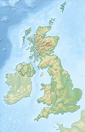
| Géolocalisation sur la carte : Hébrides extérieures
| ||
| Îles au Royaume-Uni | ||
| modifier |
||
Référence
- (en) Cet article est partiellement ou en totalité issu de l’article de Wikipédia en anglais intitulé « Soay Beag » (voir la liste des auteurs).
- Portail de l’Écosse
- Portail du monde insulaire
На других языках
[en] Soay Beag
Soay Beag (Scottish Gaelic: Sòdhaigh Beag) is a small, uninhabited tidal island in West Loch Tarbert, between the northern and southern parts of Harris. Soay Beag is separated from the southwest coast of North Harris by the Soay Sound. The island is located immediately to the northwest of the larger Soay Mòr, which is accessible on foot at low tide. Soay Beag's highest elevation is 37m (121 feet).- [fr] Soay Beag
Текст в блоке "Читать" взят с сайта "Википедия" и доступен по лицензии Creative Commons Attribution-ShareAlike; в отдельных случаях могут действовать дополнительные условия.
Другой контент может иметь иную лицензию. Перед использованием материалов сайта WikiSort.org внимательно изучите правила лицензирования конкретных элементов наполнения сайта.
Другой контент может иметь иную лицензию. Перед использованием материалов сайта WikiSort.org внимательно изучите правила лицензирования конкретных элементов наполнения сайта.
2019-2025
WikiSort.org - проект по пересортировке и дополнению контента Википедии
WikiSort.org - проект по пересортировке и дополнению контента Википедии

