geo.wikisort.org - Île
Pooples Island est une île inhabitée du comté de Harford dans le Maryland (États-Unis).
Cet article est une ébauche concernant l’océan Atlantique, le monde insulaire et le Maryland.
Vous pouvez partager vos connaissances en l’améliorant (comment ?) selon les recommandations des projets correspondants.
| Pooles Island | ||||
 Vue aérienne | ||||
| Géographie | ||||
|---|---|---|---|---|
| Pays | ||||
| Archipel | Baie de Chesapeake | |||
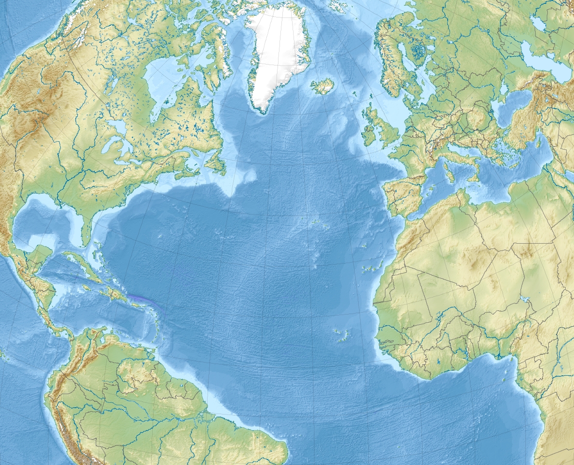
| Localisation | Océan Atlantique | |||
| Coordonnées | 39° 17′ 07″ N, 76° 15′ 55″ O | |||
| Superficie | 0,91 km2 | |||
| Point culminant | 3 m | |||
| Administration | ||||
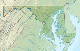
| État | Maryland | |||
| Comté | Harford | |||
| Démographie | ||||
| Population | Aucun habitant (2020) | |||
| Autres informations | ||||
| Géolocalisation sur la carte : États-Unis
Géolocalisation sur la carte : océan Atlantique
Géolocalisation sur la carte : Maryland
| ||||
| Île aux États-Unis | ||||
| modifier |
||||

Géographie
Le phare de Pooles Island y a été construit en 1825 sur la pointe nord-ouest. Il a été remis en service en 2011 et il inscrit au Registre national des lieux historiques depuis le sous le no 97000060[1].
Galerie
 Le phare de Pooles Island

Notes et références
- (en) Cet article est partiellement ou en totalité issu de l’article de Wikipédia en anglais intitulé « Pooles Island » (voir la liste des auteurs).
 Portail du Maryland
  Portail du monde insulaire
  Portail de l’océan Atlantique
На других языках
[en] Pooles Island
Pooles Island is a small island located on the Chesapeake Bay, part of Harford County, Maryland.[1] It is southeast of the southern tip of Gunpowder Neck. The Pooles Island Light was built on it. Pooles Island was used for bombing practice from 1918 through the 1960s as part of Aberdeen Proving Ground. Access to the island is prohibited due to unexploded ordnance.[2]- [fr] Pooles Island
Текст в блоке "Читать" взят с сайта "Википедия" и доступен по лицензии Creative Commons Attribution-ShareAlike; в отдельных случаях могут действовать дополнительные условия.
Другой контент может иметь иную лицензию. Перед использованием материалов сайта WikiSort.org внимательно изучите правила лицензирования конкретных элементов наполнения сайта.
Другой контент может иметь иную лицензию. Перед использованием материалов сайта WikiSort.org внимательно изучите правила лицензирования конкретных элементов наполнения сайта.
2019-2025
WikiSort.org - проект по пересортировке и дополнению контента Википедии
WikiSort.org - проект по пересортировке и дополнению контента Википедии