geo.wikisort.org - Île
Long Island est une île située au large de la côte nord-ouest de l'île du Cap Barren, au nord-est de la Tasmanie.
 Portail du monde insulaire
  Portail de l’océan Indien
  Portail de la Tasmanie
Pour les articles homonymes, voir Long Island (homonymie).
Cet article est une ébauche concernant le monde insulaire, l’océan Indien et la Tasmanie.
Vous pouvez partager vos connaissances en l’améliorant (comment ?) selon les recommandations des projets correspondants.
| Long Island (Tasmanie) | ||
| Géographie | ||
|---|---|---|
| Pays | ||
| Coordonnées | 40° 21′ S, 148° 00′ E | |
| Administration | ||
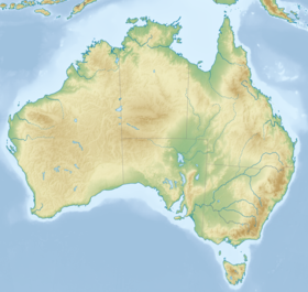
| Géolocalisation sur la carte : Australie
| ||
| modifier |
||

На других языках
[en] Long Island (Tasmania)
The Long Island, part of the Long Island Group within the Furneaux Group, is a 313-hectare (770-acre) unpopulated granite and dolerite island, located in Bass Strait, lying north-west of the Cape Barren Island in Tasmania, in south-eastern Australia.[1][2][3] The island is part of the Franklin Sound Islands Important Bird Area, identified as such by BirdLife International because it holds over 1% of the world populations of six bird species.[4]- [fr] Long Island (Tasmanie)
Текст в блоке "Читать" взят с сайта "Википедия" и доступен по лицензии Creative Commons Attribution-ShareAlike; в отдельных случаях могут действовать дополнительные условия.
Другой контент может иметь иную лицензию. Перед использованием материалов сайта WikiSort.org внимательно изучите правила лицензирования конкретных элементов наполнения сайта.
Другой контент может иметь иную лицензию. Перед использованием материалов сайта WikiSort.org внимательно изучите правила лицензирования конкретных элементов наполнения сайта.
2019-2025
WikiSort.org - проект по пересортировке и дополнению контента Википедии
WikiSort.org - проект по пересортировке и дополнению контента Википедии