geo.wikisort.org - Île
Lazarétta (grec moderne : Λαζαρέττα), ou Lazarét(t)o (Λαζρέτ(τ)ο), est un îlot inhabité situé au nord de la côte ouest de la Crète, à proximité de la ville de La Canée. Il fait partie du dème de La Canée.
- Portail de la Crète
- Portail du monde insulaire
- Portail de la mer Méditerranée
| Lazarétta | |||
| Géographie | |||
|---|---|---|---|
| Pays | |||
| Localisation | Mer Méditerranée | ||
| Coordonnées | 35° 31′ 09″ N, 23° 59′ 58″ E | ||
| Administration | |||
| Périphérie | Crète | ||
| District régional | La Canée | ||
| Dème | La Canée | ||
| Démographie | |||
| Population | Aucun habitant | ||
| Autres informations | |||
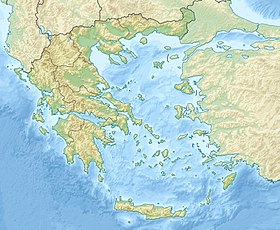
| Géolocalisation sur la carte : Crète
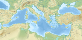
Géolocalisation sur la carte : mer Méditerranée
| |||
| Île en Grèce | |||
| modifier |
|||
На других языках
[en] Lazaretta
Lazaretta (Greek: Λαζαρέττα), also called Lazaretto (and alternatively spelled Lazareto), is an uninhabited island close to the northern coast of Crete in the Aegean Sea. It is located near the city of Chania and administratively, it is within the municipality of Chania, in Chania regional unit.- [fr] Lazarétta
Текст в блоке "Читать" взят с сайта "Википедия" и доступен по лицензии Creative Commons Attribution-ShareAlike; в отдельных случаях могут действовать дополнительные условия.
Другой контент может иметь иную лицензию. Перед использованием материалов сайта WikiSort.org внимательно изучите правила лицензирования конкретных элементов наполнения сайта.
Другой контент может иметь иную лицензию. Перед использованием материалов сайта WikiSort.org внимательно изучите правила лицензирования конкретных элементов наполнения сайта.
2019-2025
WikiSort.org - проект по пересортировке и дополнению контента Википедии
WikiSort.org - проект по пересортировке и дополнению контента Википедии


