geo.wikisort.org - Île
High Island ou Leung Shuen Wan (chinois traditionnel : 糧船灣 ; pinyin : ; litt. « grain-ship-bay island » ; littéralement : « grain-ship-bay island ») est une ancienne île située au sud-est de la péninsule de Sai Kung à Hong Kong. L'île a été reliée à la péninsule par deux barrages afin de fermer le détroit de Kwun Mun (chinois traditionnel : 官門海峽) et de former le réservoir de High Island. La construction de ces barrages a duré 10 ans, de 1969 à 1979. L'île fait partie du parc rural de Sai Kung Est[1]. Aujourd'hui désignée comme étant une zone de pisciculture, l'île dispose de plusieurs restaurants de fruits de mer le long de sa rive[2].
| High Island (Leung Shuen Wan) 糧船灣 (zh) | |||

| |||
| Géographie | |||
|---|---|---|---|
| Pays | |||
| Coordonnées | 22° 21′ 30″ N, 114° 21′ 17″ E | ||
| Superficie | 8,51 km2 | ||
| Administration | |||
| Région administrative spéciale | Hong Kong | ||
| District | Sai Kung | ||
| Autres informations | |||
| Découverte | Préhistoire | ||
| Fuseau horaire | UTC+08:00 | ||
| Géolocalisation sur la carte : Chine
Géolocalisation sur la carte : Hong Kong
| |||
| Île de Hong Kong | |||
| modifier |
|||


Géographie
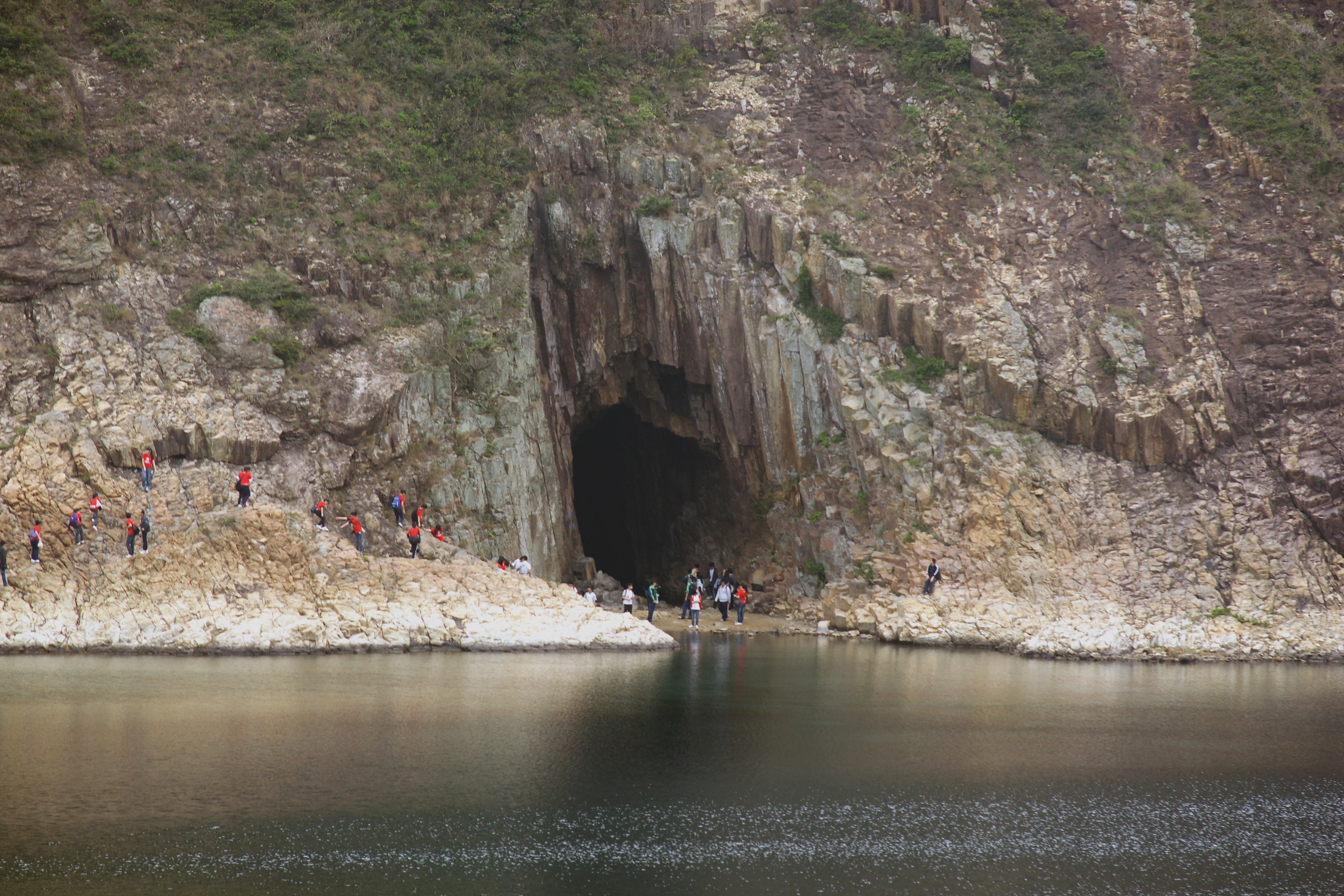
High Island avait historiquement une superficie de 8,51 km2 et l'île a été la 4e plus grande île de Hong Kong en 1960[3]. Sa rive ouest fait face à Rocky Harbour.
Quatre villages, Pak A (chinois traditionnel : 北丫), Tung A (chinois traditionnel : 東丫), Sha Kiu (chinois traditionnel : 沙橋) et Pak Lap (chinois traditionnel : 白腊), sont situés le long de la côte ouest[3]. En 2006, quelques dizaines de personnes seulement habitaient dans ces quatre villages, et environ une centaine de personnes vivaient au sein de ces zones de pisciculture[3].
Temple de Tin Hau
Un temple de Tin Hau (chinois traditionnel : 糧船灣天后宮) est construit sur High Island, entre Pak A et Tung A. Edifié en 1741, il est l'un des deux temples qui a une parade marine pour célébrer la fête de Tin Hau (chinois traditionnel : 天后誕). L'autre temple dédié à Tin Hau à Tun Mun en a une, une fois tous les dix ans[4]. La fête de Tin Hau à High Island a lieu tous les deux ans. La cérémonie religieuse dure six jours et la parade marine est tenue la veille de l'anniversaire de Tin Hau[3]. Le temple a été classé en tant que monument historique de Niveau II en 1996, et de niveau III en 2010[5].
Transport
Il y a aussi des piliers dans la Pak A, Tung A et Sha Kiu, mais il n'y a pas de service de ferry à Haute de l'Île[6]. Sai Kung Man Yee Route (chinois traditionnel : 西貢萬宜路) traverse la partie nord de la Haute Île, à peu près le long de la Haute Île Réservoir, à partir de l'Ouest du Barrage à l'Est du Barrage.
Voir aussi
- Hong Kong National Geopark
- Vietnamiens à Hong Kong
Références
- (en) « Sai Kung East Country Park », Agriculture, Fisheries and Conservation Department (consulté le )
- "Leung Shuen Wan Tin Hau Temple", travelinsaikung.org.hk (archive)
- (en) Chan Tin-kuen, Anthony, « Parade for the Queen: safeguarding the intangible heritage of the Tin Hau Sea Ritual in Leung Shuen Wan, Sai Kung », (Postgraduate thesis, Master of Science in Conservation),
- « List of the Historic Building in Building Assessment » (version du 22 septembre 2013 sur l'Internet Archive)
- Antiquities and Monuments Office: List of the Historic Buildings in Building Assessment « https://web.archive.org/web/20111215155849/http://www.lcsd.gov.hk/ce/Museum/Monument/form/AAB-SM-chi.pdf »(Archive.org • Wikiwix • Archive.is • Google • Que faire ?),
- (en) Griffiths, NIgel, Ultimate Guide to High Island,
Liens externes
 Portail du monde insulaire
  Portail de Hong Kong
На других языках
[en] High Island (Hong Kong)
High Island or Leung Shuen Wan Chau (Chinese: 糧船灣洲) is a former island located in the southeast of Sai Kung Peninsula, east of Port Shelter, Kau Sai Chau, Jin Island, Tai Tau Chau, and Bay Islet, north of Town Island, Bluff Island, Basalt Island, Wang Chau, Wong Nai Chau, and Kong Tau Pai, as well as west of Po Pin Chau and Conic Island. High Island historically had an area of 8.511 km² and was the 4th largest island of Hong Kong in 1960.[1] The body of water to the southwest of the former island is called Rocky Harbour or Leung Shuen Wan Hoi (糧船灣海; 'grain ship bay sea').The island is under the jurisdiction of the Sai Kung District.- [fr] High Island (Hong Kong)
Другой контент может иметь иную лицензию. Перед использованием материалов сайта WikiSort.org внимательно изучите правила лицензирования конкретных элементов наполнения сайта.
WikiSort.org - проект по пересортировке и дополнению контента Википедии