geo.wikisort.org - Île
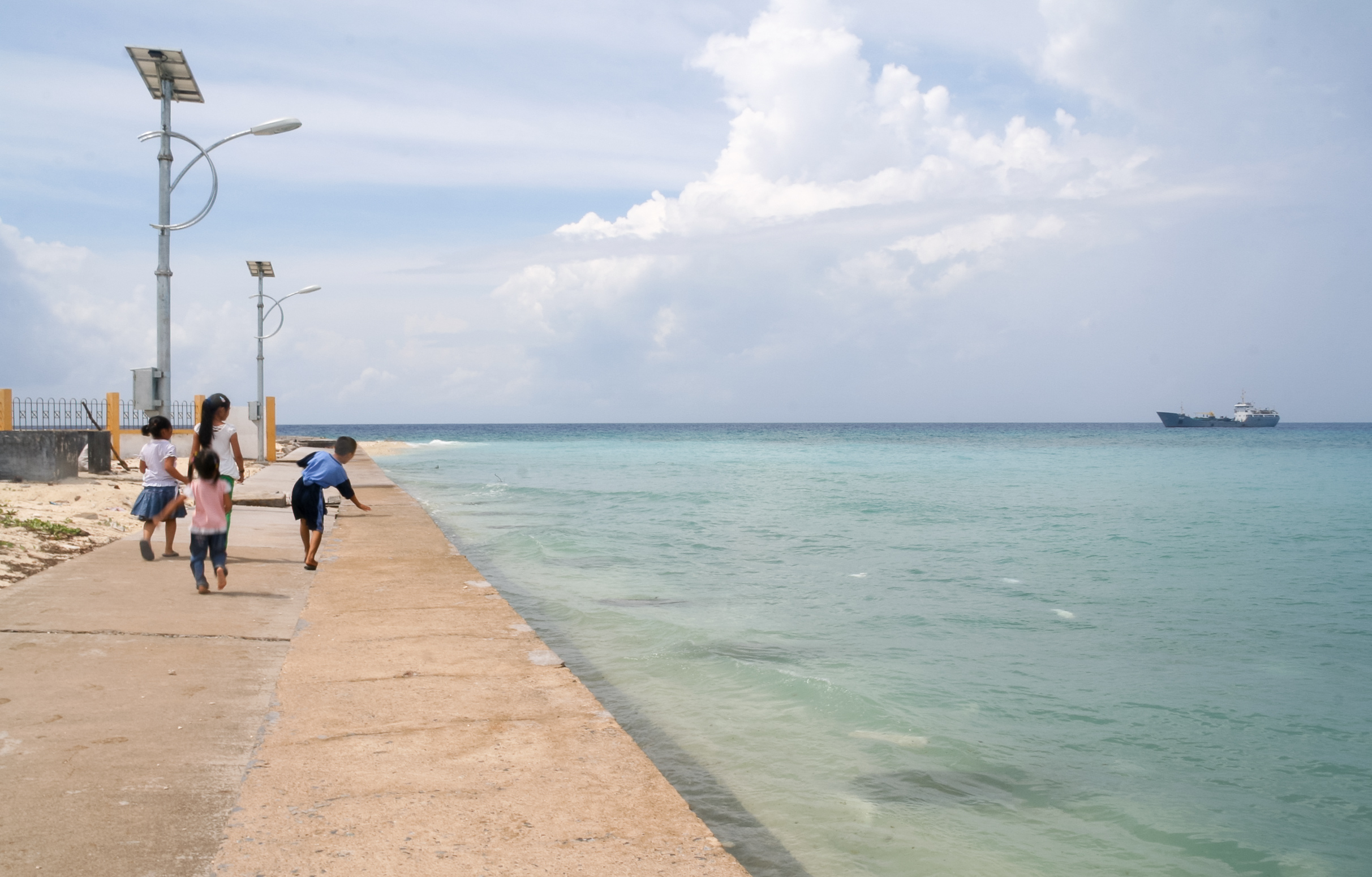
Truong Sa est une île et un district rural de la province de Quảng Nam, dans la région de la Côte centrale du Sud du Viêt Nam[1]. C'est une île des Îles Spratleys
Cet article est une ébauche concernant une localité vietnamienne et le monde insulaire.
Vous pouvez partager vos connaissances en l’améliorant (comment ?) selon les recommandations des projets correspondants.
District de Truong Sa
| Pays | |
|---|---|
| Province |
Khánh Hòa |
| Superficie |
496 km2 |
| Coordonnées |
8° 38′ 40″ N, 111° 55′ 13″ E |
| Statut |
Huyện |
|---|
| Fondation |
|---|

Géographie
Le district a une superficie de 496 km2.
Références
- (en) « Districts of Vietnam », Statoids (consulté le )
Liens internes
- Liste des districts du Vietnam
 Portail du Viêt Nam
  Portail du monde insulaire
На других языках
[en] Trường Sa district
Trường Sa is an island district of Khánh Hòa province in the South Central Coast region of Vietnam.[2] It was established on the basis of the Spratly Islands (except Louisa Reef),[3][4][5][6][7] which is also claimed wholly or in part by Brunei, China, Malaysia, the Philippines and Taiwan. According to the 2009 census, the district has a population of 195 people.[8]- [fr] District de Truong Sa
Текст в блоке "Читать" взят с сайта "Википедия" и доступен по лицензии Creative Commons Attribution-ShareAlike; в отдельных случаях могут действовать дополнительные условия.
Другой контент может иметь иную лицензию. Перед использованием материалов сайта WikiSort.org внимательно изучите правила лицензирования конкретных элементов наполнения сайта.
Другой контент может иметь иную лицензию. Перед использованием материалов сайта WikiSort.org внимательно изучите правила лицензирования конкретных элементов наполнения сайта.
2019-2026
WikiSort.org - проект по пересортировке и дополнению контента Википедии
WikiSort.org - проект по пересортировке и дополнению контента Википедии