geo.wikisort.org - Île
Cayo Fragoso est une partie de l'archipel Sabana-Camagüey dans l'océan Atlantique, sur le littoral nord de Cuba. Elle appartient administrativement à la Province de Villa Clara.
Cet article est une ébauche concernant l’océan Atlantique, le monde insulaire et Cuba.
Vous pouvez partager vos connaissances en l’améliorant (comment ?) selon les recommandations des projets correspondants.
| Cayo Fragoso Cayo Fragoso (es) | ||||
| Géographie | ||||
|---|---|---|---|---|
| Pays | ||||
| Archipel | Archipel Sabana-Camagüey | |||
| Localisation | Océan Atlantique | |||
| Coordonnées | 22° 44′ N, 79° 32′ O | |||
| Superficie | 101 km2 | |||
| Administration | ||||
| Province | Province de Villa Clara | |||
| Ville | Caibarién | |||
| Démographie | ||||
| Population | Aucun habitant | |||
| Autres informations | ||||
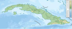
| Géolocalisation sur la carte : Cuba
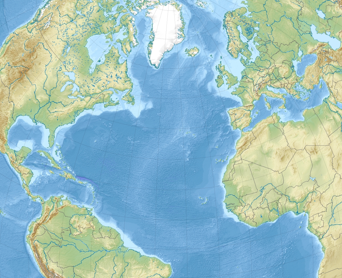
Géolocalisation sur la carte : océan Atlantique
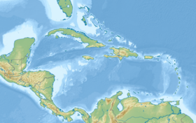
Géolocalisation sur la carte : Caraïbes
| ||||
| Île de Cuba | ||||
| modifier |
||||
Entre Cayos de Pajonal et Cayo Francés, elle mesure environ 40 kilomètres de long et possède 15 kilomètres de plages de sable blanc.
Notes et références
- (es) Cet article est partiellement ou en totalité issu de l’article de Wikipédia en espagnol intitulé « Cayo Fragoso » (voir la liste des auteurs).
Voir aussi
Lien interne
- phare de Cayo Fragoso
- Géographie de Cuba
- Liste des îles de Cuba
Lien externe
 Portail de Cuba
  Portail du monde insulaire
  Portail de l’océan Atlantique
На других языках
[en] Cayo Fragoso
Cayo Fragoso[1] is an island off the north coast of Cuba. It has a total area of 101 square kilometers and belongs to the Sabana-Camagüey Archipelago, and administratively belongs to the municipality of Caibarién, Villa Clara Province.[2]- [fr] Cayo Fragoso
Текст в блоке "Читать" взят с сайта "Википедия" и доступен по лицензии Creative Commons Attribution-ShareAlike; в отдельных случаях могут действовать дополнительные условия.
Другой контент может иметь иную лицензию. Перед использованием материалов сайта WikiSort.org внимательно изучите правила лицензирования конкретных элементов наполнения сайта.
Другой контент может иметь иную лицензию. Перед использованием материалов сайта WikiSort.org внимательно изучите правила лицензирования конкретных элементов наполнения сайта.
2019-2026
WikiSort.org - проект по пересортировке и дополнению контента Википедии
WikiSort.org - проект по пересортировке и дополнению контента Википедии