geo.wikisort.org - Île
Butaritari est un atoll des Kiribati, théâtre d'une bataille entre États-Unis et Japon en 1943.
Cet article est une ébauche concernant le monde insulaire et les Kiribati.
Vous pouvez partager vos connaissances en l’améliorant (comment ?) selon les recommandations des projets correspondants.
Consultez la liste des tâches à accomplir en page de discussion.
| Butaritari Grande-Makin | ||
 Image satellite de Butaritari. | ||
| Géographie | ||
|---|---|---|
| Pays | ||
| Archipel | Îles Gilbert | |
| Localisation | Océan Pacifique | |
| Coordonnées | 3° 10′ 04″ N, 172° 49′ 33″ E | |
| Superficie | 13,6 km2 | |
| Nombre d'îles | plus de 11 | |
| Île(s) principale(s) | Butaritari | |
| Géologie | Atoll | |
| Administration | ||
| Aucun découpage territorial | - | |
| Démographie | ||
| Population | 3 224 hab. (2015) | |
| Densité | 237,06 hab./km2 | |
| Plus grande ville | Ukiangang | |
| Autres informations | ||
| Fuseau horaire | UTC+12 | |
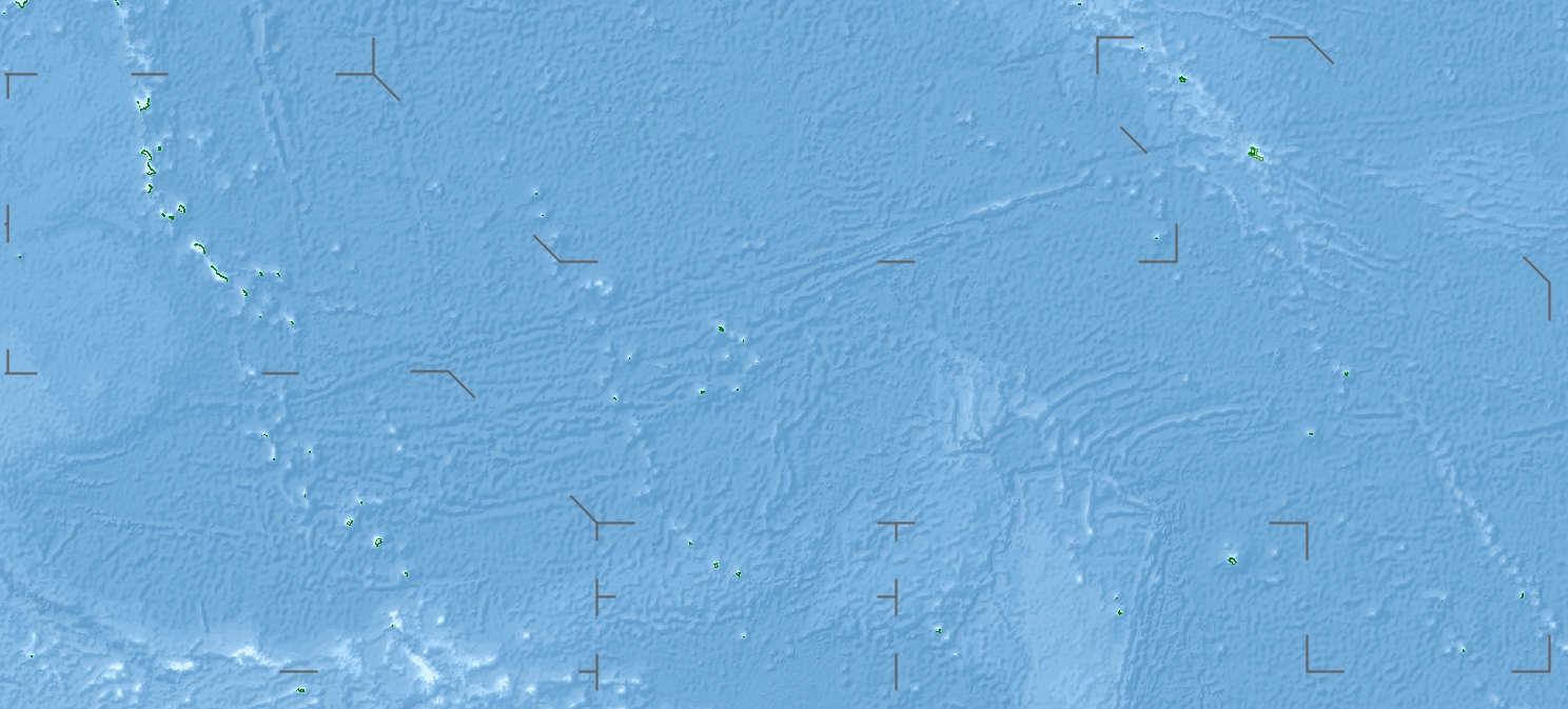
| Géolocalisation sur la carte : Kiribati
| ||
| Îles aux Kiribati | ||
| modifier |
||
Son nom signifie en gilbertin « parfum de mer » (au sens de désagréable).
Butaritari possède un aéroport (code AITA : BBG).
À l'extrémité nord des îles Gilbert, les atolls proches de Butaritari et de Makin sont « découverts » par Pedro Fernandes de Queirós en 1606 (qui la baptise île du Bon Voyage, Buen Viaje) mais ils ne seront redécouverts qu'au XVIIIe siècle. Ces deux atolls sont souvent appelés Makin, avec Grande-Makin pour Butaritari et Petite-Makin pour Makin proprement dite[1]. Au XVIIIe siècle, ils sont souvent désignés comme les îles de Pitt (Pitt Islands). Possédant un lagon intérieur (de 11 miles de large, soit 18 km) et avec trois passes vers la mer libre, la population vit dans deux îlots principaux, Butaritari et Kuma.
L'île est occupée par le Japon en 1941 et libérée lors de l'opération Galvanic (bataille de Tarawa) et plus précisément la bataille de Makin. En , les Américains achèvent Makin Airfield, le seul aérodrome de l'atoll.
Notes et références
- Robert Louis Stevenson, Dans les mers du Sud, 1892.
Lien externe
 Portail du monde insulaire
  Portail des Kiribati
На других языках
[de] Butaritari
Butaritari ist ein Atoll im Pazifischen Ozean, das geographisch zu den Gilbertinseln und politisch zum Staat Kiribati gehört. Drei Kilometer nordwestlich liegt Makin, das nächstgelegene Atoll.[en] Butaritari
Butaritari is an atoll in the Pacific Ocean island nation of Kiribati. The atoll is roughly four-sided. The south and southeast portion of the atoll comprises a nearly continuous islet. The atoll reef is continuous but almost without islets along the north side. Bikati and Bikatieta islets occupy a corner of the reef at the extreme northwest tip of the atoll. Small islets are found on reef sections between channels on the west side. The lagoon of Butaritari is deep and can accommodate large ships, though the entrance passages are relatively narrow. It is the most fertile of the Gilbert Islands, with relatively good soils (for an atoll) and high rainfall. Butaritari atoll has a land area of 13.49 km2 (5.21 sq mi) and a population of 3,224 as of 2015[update]. During World War II, Butaritari was known by United States Armed Forces as Makin Atoll, and was the site of the Battle of Makin. Locally, Makin is the name of a separate but closest atoll, 3 kilometres (1.6 nmi; 1.9 mi) to the northeast of Butaritari, but close enough to be seen. These two atolls share a dialect of the Gilbertese language.[es] Butaritari
Butaritari (también conocido como Kleine-Makin, Makin, isla Pitt, Taritari e isla Touching) es un atolón localizado en el océano Pacífico, en el grupo de islas Gilbert, pertenecientes a Kiribati.- [fr] Butaritari
[it] Butaritari
Butaritari, precedentemente conosciuto come Makin, è un atollo delle isole Gilbert costituito da 10 isole nell'Oceano Pacifico. Fa parte della nazione delle Kiribati.[ru] Бутаритари
Бутаритари (Butaritari) (англ. Butaritari) — один из крупнейших атоллов в архипелаге Гилберта (Республика Кирибати). Остров лежит чуть южнее атолла Макин. Площадь острова — 13,49 км². Численность населения — 4346 человек (2010). Название острова переводится с языка кирибати как «запах моря». Средний годовой уровень осадков составляет 4000 мм. Гордость острова — лучшая гавань в республике и хлебное дерево. Прежние названия: Кляйне-Макин, Макин, Питт, Таритари и Тачинг.Другой контент может иметь иную лицензию. Перед использованием материалов сайта WikiSort.org внимательно изучите правила лицензирования конкретных элементов наполнения сайта.
WikiSort.org - проект по пересортировке и дополнению контента Википедии