geo.wikisort.org - Île
Baths Island[1] est une petite île de la Tamise en Angleterre.
Cet article est une ébauche concernant le monde insulaire et l’Angleterre.
Vous pouvez partager vos connaissances en l’améliorant (comment ?) selon les recommandations des projets correspondants.
| Baths Island | ||
| ||
| Géographie | ||
|---|---|---|
| Pays | ||
| Localisation | Tamise | |
| Coordonnées | 51° 29′ 11″ N, 0° 37′ 07″ O | |
| Géologie | Île fluviale | |
| Administration | ||
| Région | Angleterre du Sud-Est | |
| Comté | Berkshire | |
| Démographie | ||
| Population | Aucun habitant | |
| Autres informations | ||
| Géolocalisation sur la carte : Angleterre
| ||
| Île au Royaume-Uni | ||
| modifier |
||

Description
Cette section est vide, insuffisamment détaillée ou incomplète. Votre aide est la bienvenue ! Comment faire ?
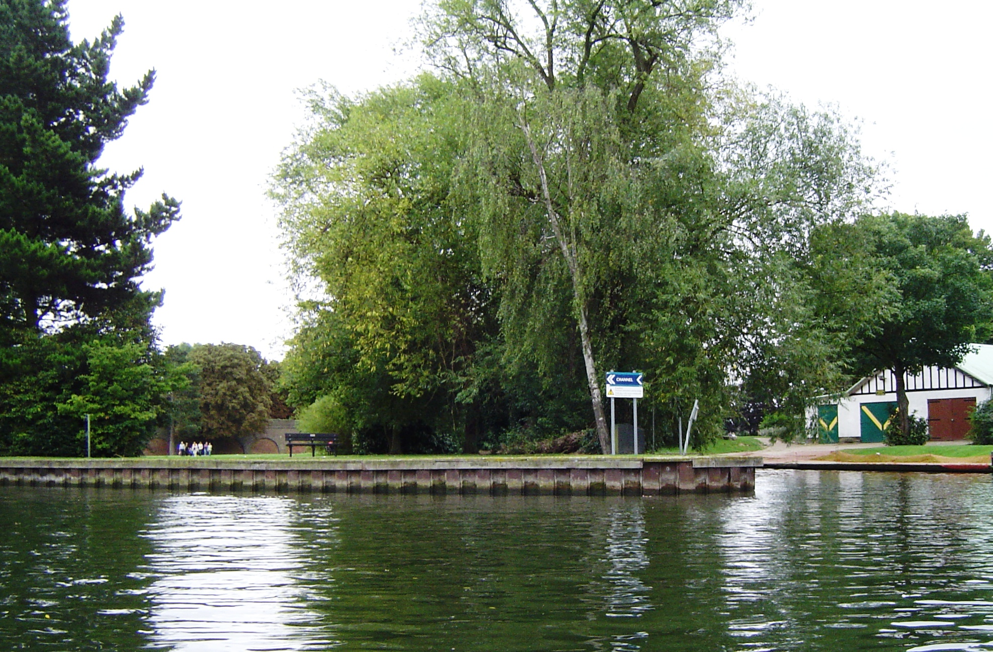
Il s'agit d'une île fluviale, inhabitée et recouverte d'arbres, située entre Eton Wick (en) et Windsor[2], dans le Berkshire. L'île est traversée par le pont ferroviaire de Windsor (Windsor Railway Bridge (en)).
Notes et références
- Baths (pluriel de Bath « Bain ») + Island (« Île »)
- (en) Localisation sur OpenStreetMap.
Voir aussi
Bibliographie
- Miranda Vickers, Eyots and Aits : Islands of the River Thames, History Press Limited, 2012. (ISBN 075246213X)
- Leigh Hatts, The Thames Path : From London to Source, Cicerone Press, 2010. (ISBN 1849650934)
Articles connexes
Liens externes
- (en) « Baths Island », sur le site CanalPlanAC
- (en) « Baths Island », sur le site Ordnance Survey
 Portail de l’Angleterre
  Portail du monde insulaire
На других языках
[de] Baths Island
Baths Island ist eine Insel in der Themse flussaufwärts des Romney Lock, zwischen Eton Wick und Windsor, Berkshire.[en] Baths Island
Baths Island is an island in the River Thames in England on the reach above Romney Lock, between Eton Wick and Windsor, Berkshire.- [fr] Baths Island
Текст в блоке "Читать" взят с сайта "Википедия" и доступен по лицензии Creative Commons Attribution-ShareAlike; в отдельных случаях могут действовать дополнительные условия.
Другой контент может иметь иную лицензию. Перед использованием материалов сайта WikiSort.org внимательно изучите правила лицензирования конкретных элементов наполнения сайта.
Другой контент может иметь иную лицензию. Перед использованием материалов сайта WikiSort.org внимательно изучите правила лицензирования конкретных элементов наполнения сайта.
2019-2026
WikiSort.org - проект по пересортировке и дополнению контента Википедии
WikiSort.org - проект по пересортировке и дополнению контента Википедии