geo.wikisort.org - Île
L'île Barrow est une ancienne île de la ville de Barrow-in-Furness, dans le comté de Cumbria en Angleterre.
Cet article est une ébauche concernant le monde insulaire et l’Angleterre.
Vous pouvez partager vos connaissances en l’améliorant (comment ?) selon les recommandations des projets correspondants.
| Barrow | |||

| |||
| Géographie | |||
|---|---|---|---|
| Pays | |||
| Coordonnées | 54° 06′ 11″ N, 3° 13′ 55″ O | ||
| Administration | |||
| Démographie | |||
| Population | 2 616 hab. | ||
| Autres informations | |||
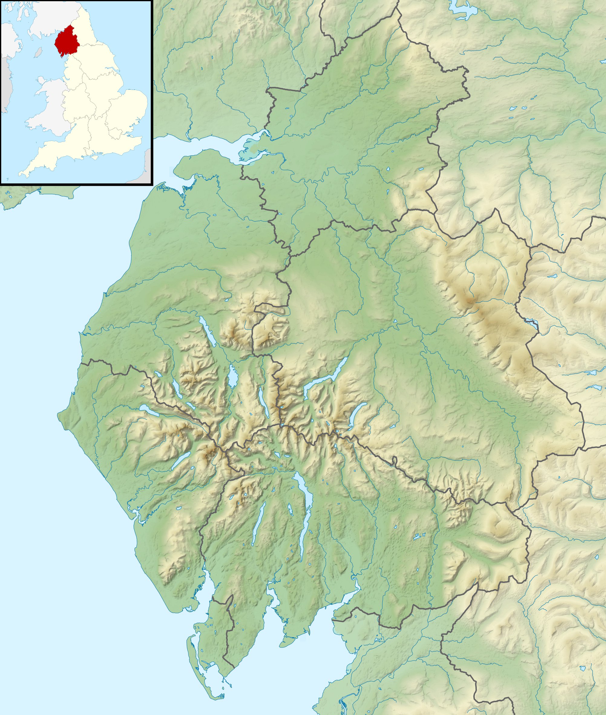
| Géolocalisation sur la carte : Cumbria
Géolocalisation sur la carte : Angleterre
| |||
| Îles en Angleterre | |||
| modifier |
|||

Originellement séparée de la Grande-Bretagne, elle a été reliée au continent en 1860. Elle est séparée de l'île de Walney par le détroit de Walney.

Traduction
- (en) Cet article est partiellement ou en totalité issu de l’article de Wikipédia en anglais intitulé « Barrow Island, Barrow-in-Furness » (voir la liste des auteurs).
 Portail de l’Angleterre
  Portail du monde insulaire
  Portail de l’océan Atlantique
На других языках
[en] Barrow Island, Barrow-in-Furness
Barrow Island is an area and electoral ward of Barrow-in-Furness, Cumbria, England. Originally separate from the British mainland, land reclamation in the 1860s saw the northern fringes of the island connected to Central Barrow. Barrow Island is also bound to the south and east by the town's dock system and to the west by Walney Channel. The Ward population taken at the 2011 census was 2,616.[1]- [fr] Barrow (île)
Текст в блоке "Читать" взят с сайта "Википедия" и доступен по лицензии Creative Commons Attribution-ShareAlike; в отдельных случаях могут действовать дополнительные условия.
Другой контент может иметь иную лицензию. Перед использованием материалов сайта WikiSort.org внимательно изучите правила лицензирования конкретных элементов наполнения сайта.
Другой контент может иметь иную лицензию. Перед использованием материалов сайта WikiSort.org внимательно изучите правила лицензирования конкретных элементов наполнения сайта.
2019-2025
WikiSort.org - проект по пересортировке и дополнению контента Википедии
WikiSort.org - проект по пересортировке и дополнению контента Википедии