geo.wikisort.org - Island
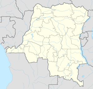
Île de Mateba (Mateba Island) is the major river island close to the river mouth of the great Congo river. The entire island lies within the DR Congo, whereas the southern river shore lies in Angola. There are at least two villages on the island, one on the island's south coast and one on the north coast.
This article needs additional citations for verification. (March 2018) |

Controversial wildlife introductions
On the Mateba Island, Blue wildebeest, Waterbuck, Burchell's zebras and even giraffes have been introduced by the Institut Congolais pour la Conservation de la Nature. The animals where imported from Namibia in partnership with "Wildlife Vets Namibia". This move is controversial because Mateba Island is historically a rainforest reserve. And the partly savanne which occurs now is a result of deforestation. All founder populations established well except the 4 giraffes which died within 3 weeks of offloading due to the absence of Acacia trees like Vachellia and Senegalia.[1]
References
- "Documentation". Archived from the original on 2020-03-21. Retrieved 2020-03-28.
На других языках
- [en] Île de Mateba
[fr] Mateba (île)
L’île Mateba est une île principale du fleuve Congo. Sa superficie environne 100 km2. Elle est située en aval de Boma, dans l’estuaire du fleuve entre la République démocratique du Congo et l’Angola. Elle fait environ 30 km de long sur 3 à 6 km de large.Другой контент может иметь иную лицензию. Перед использованием материалов сайта WikiSort.org внимательно изучите правила лицензирования конкретных элементов наполнения сайта.
WikiSort.org - проект по пересортировке и дополнению контента Википедии