geo.wikisort.org - Island
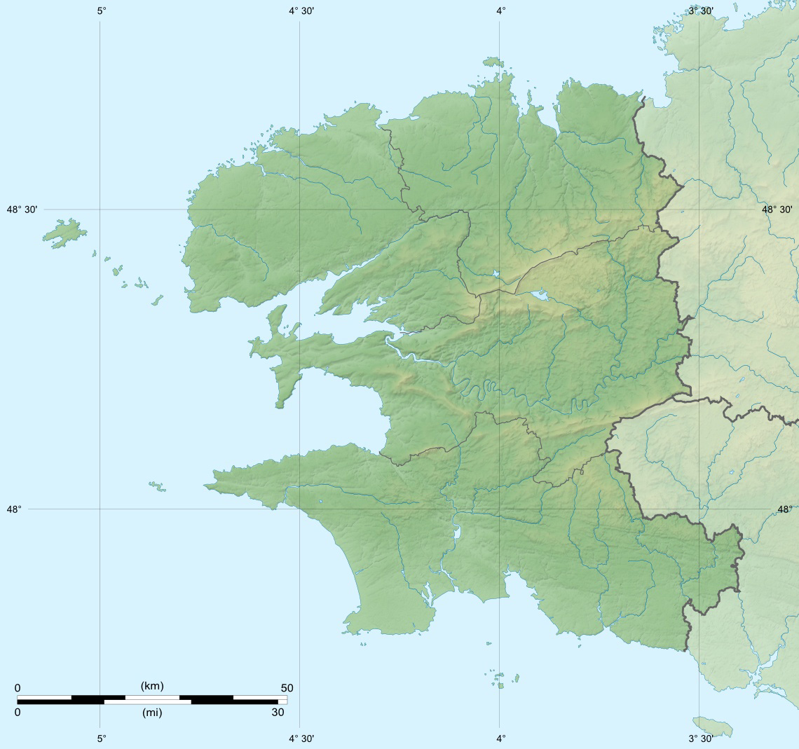
The Île Verte is an island off the south coast of Brittany in the north west of France, lying to the south of Finistère, near Trégunc and Nevez.
 View of Île Verte | |
 Île Verte  Île Verte | |
| Geography | |
|---|---|
| Location | Atlantic Ocean |
| Coordinates | 47.772°N 3.800°W |
| Administration | |
France | |
| Region | Brittany |
| Department | Finistère |
| Arrondissement | Quimper |
| Demographics | |
| Population | 0 |
The island is a Daymark as an aid to navigation by sailors.
See also
- Daymark
This Finistère geographical article is a stub. You can help Wikipedia by expanding it. |
На других языках
- [en] Île Verte (Finistère)
[fr] Île Verte (Finistère)
L'Île Verte est une petite île située à environ un mille nautique au sud de la commune de Névez, dans le Finistère sud. Inhabitée, elle fut utilisée au cours du XXe siècle pour le balisage maritime. En effet, a été construit un amer, repère fixe peint en blanc utilisé pour réaliser des triangulations au compas de relèvement depuis le large.Текст в блоке "Читать" взят с сайта "Википедия" и доступен по лицензии Creative Commons Attribution-ShareAlike; в отдельных случаях могут действовать дополнительные условия.
Другой контент может иметь иную лицензию. Перед использованием материалов сайта WikiSort.org внимательно изучите правила лицензирования конкретных элементов наполнения сайта.
Другой контент может иметь иную лицензию. Перед использованием материалов сайта WikiSort.org внимательно изучите правила лицензирования конкретных элементов наполнения сайта.
2019-2026
WikiSort.org - проект по пересортировке и дополнению контента Википедии
WikiSort.org - проект по пересортировке и дополнению контента Википедии