geo.wikisort.org - Island
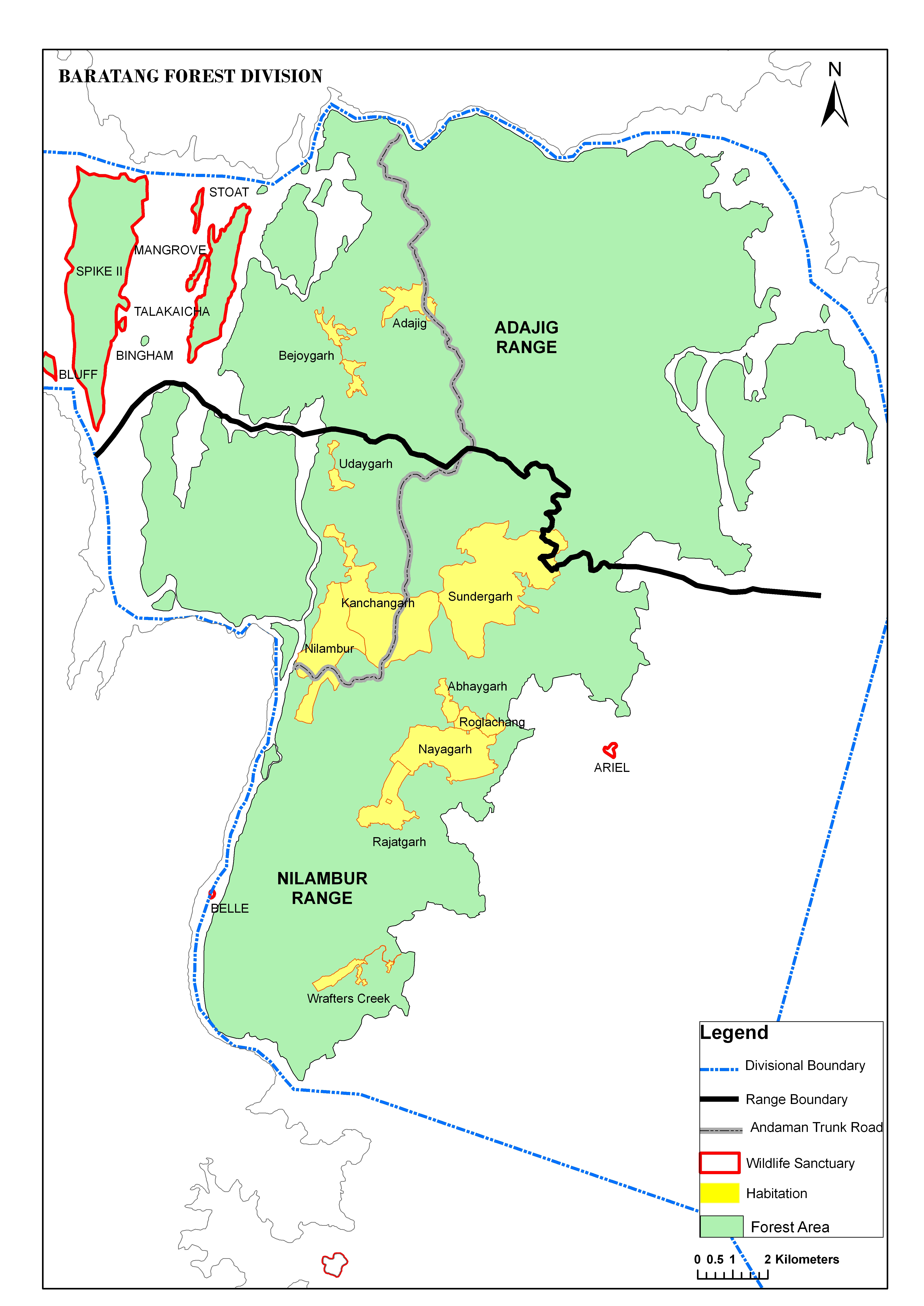
Talakaicha Island is an island of the Andaman Islands. It belongs to the North and Middle Andaman administrative district, part of the Indian union territory of Andaman and Nicobar Islands.[5] The island lies 65 km (40 mi) north from Port Blair.
 Talakaicha Island Location of Talakaicha Island | |
| Geography | |
|---|---|
| Location | Bay of Bengal |
| Coordinates | 12.265°N 92.740°E |
| Archipelago | Andaman Islands |
| Adjacent bodies of water | Indian Ocean |
| Area | 2.914 km2 (1.125 sq mi)[1] |
| Length | 4.7 km (2.92 mi) |
| Width | 0.9 km (0.56 mi) |
| Coastline | 11.57 km (7.189 mi) |
| Highest elevation | 0 m (0 ft) |
| Administration | |
| District | North and Middle Andaman |
| Island group | Andaman Islands |
| Island sub-group | West Baratang Group |
| Taluk | Rangat Taluk |
| Demographics | |
| Population | 0 (2016) |
| Additional information | |
| Time zone |
|
| PIN | 744202[2] |
| Telephone code | 031927 [3] |
| ISO code | IN-AN-00[4] |
| Official website | www |
| Literacy | 84.4% |
| Avg. summer temperature | 30.2 °C (86.4 °F) |
| Avg. winter temperature | 23.0 °C (73.4 °F) |
| Sex ratio | 1.2♂/♀ |
| Census Code | 35.639.0004 |
| Official Languages | Hindi, English |
Geography
The island belongs to the West Baratang Group and lies between Spike Island and Boning Island.
Administration
Politically, Talakaicha Island, along neighboring Baratang Islands, is part of Rangat Taluk.[6][7]
References
- "Islandwise Area and Population - 2011 Census" (PDF). Government of Andaman.
- "A&N Islands - Pincodes". 22 September 2016. Archived from the original on 23 March 2014. Retrieved 22 September 2016.
- "STD Codes of Andaman and Nicobar". allcodesindia.in. Retrieved 23 September 2016.
- Registration Plate Numbers added to ISO Code
- "Village Code Directory: Andaman & Nicobar Islands" (PDF). Census of India. Retrieved 16 January 2011.
- "DEMOGRAPHIC – A&N ISLANDS" (PDF). andssw1.and.nic.in. Retrieved 23 September 2016.
- map
- Geological Survey of India
 Andaman and Nicobar Islands travel guide from Wikivoyage
This Andaman and Nicobar Islands location article is a stub. You can help Wikipedia by expanding it. |
Текст в блоке "Читать" взят с сайта "Википедия" и доступен по лицензии Creative Commons Attribution-ShareAlike; в отдельных случаях могут действовать дополнительные условия.
Другой контент может иметь иную лицензию. Перед использованием материалов сайта WikiSort.org внимательно изучите правила лицензирования конкретных элементов наполнения сайта.
Другой контент может иметь иную лицензию. Перед использованием материалов сайта WikiSort.org внимательно изучите правила лицензирования конкретных элементов наполнения сайта.
2019-2026
WikiSort.org - проект по пересортировке и дополнению контента Википедии
WikiSort.org - проект по пересортировке и дополнению контента Википедии