geo.wikisort.org - Island
Stokkøya is an island in the municipality of Åfjord in Trøndelag county, Norway. The 16.7-square-kilometre (4,100-acre) island is located in the Stoksund area of Åfjord.[1] The largest village on the island is Harsvika. The 225-metre (738 ft) tall mountain Kamman is the highest point on the island.
 | |
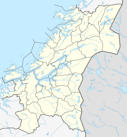 Stokkøya Location of the island  Stokkøya Stokkøya (Norway) | |
| Geography | |
|---|---|
| Location | Trøndelag, Norway |
| Coordinates | 64.0632°N 09.9806°E |
| Area | 16.7 km2 (6.4 sq mi) |
| Length | 5 km (3.1 mi) |
| Width | 5 km (3.1 mi) |
| Highest elevation | 225 m (738 ft) |
| Highest point | Kamman |
| Administration | |
Norway | |
| County | Trøndelag |
| Municipality | Åfjord |
Stokkøya is connected to the mainland by the Stokkøy Bridge between the villages of Harsvika and Revsnes on the mainland. The Linesøy Bridge is being built connecting Stokkøya to the island of Linesøya to the southwest. The smaller island of Lauvøya lies about 10 kilometres (6.2 mi) to the south.[2]
Media gallery
 View of the island
 Harsvika village
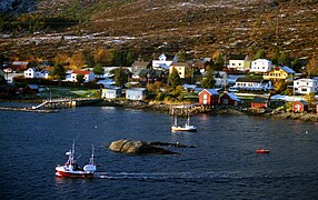 Harsvika village
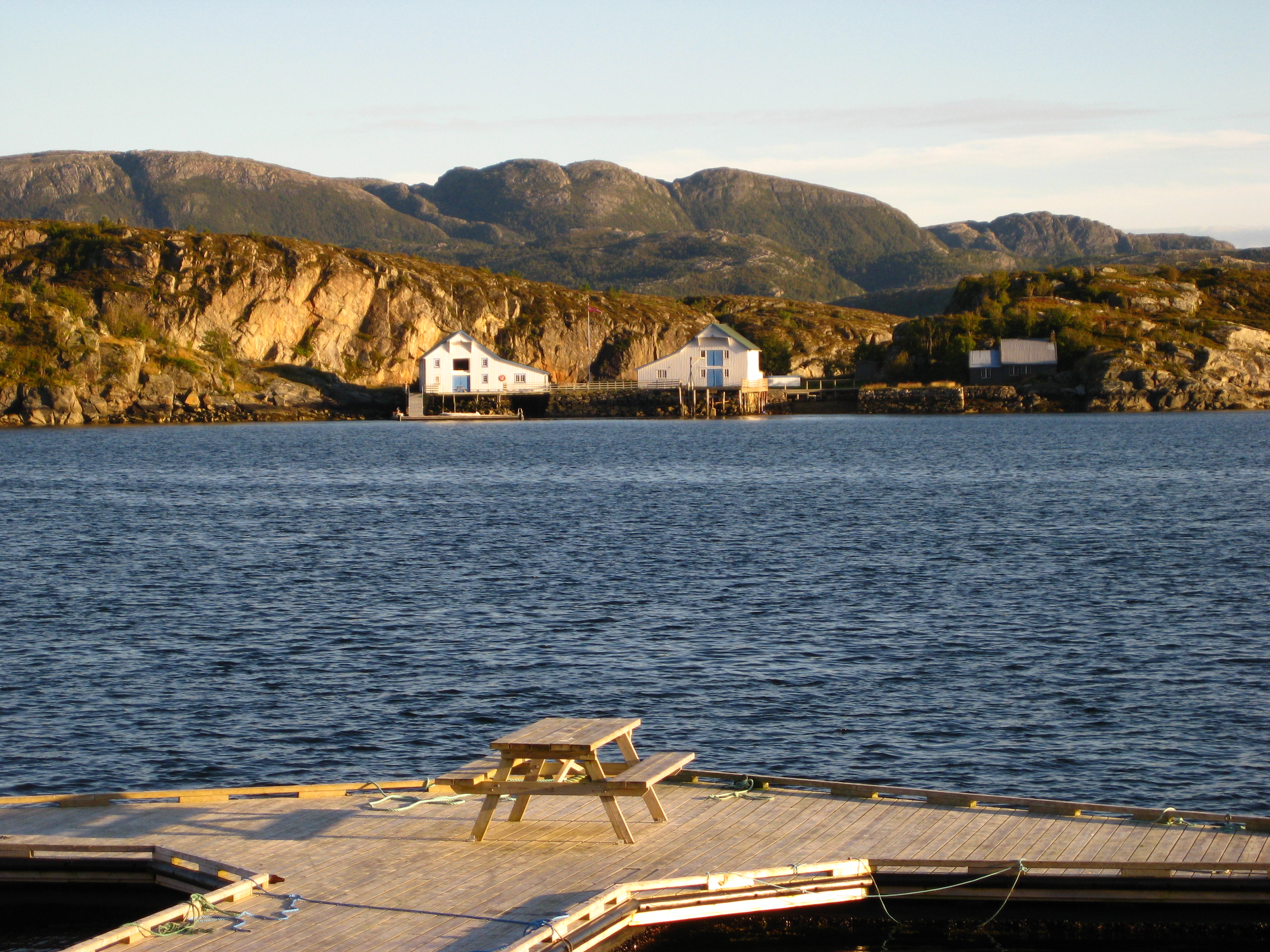
 Harbour buildings
 Sunset on Stokkøya
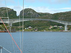 Stokkøy Bridge


See also
References
- "Stokkøya" (in Norwegian). yr.no. Retrieved 2011-01-04.
- Store norske leksikon. "Stokkøya" (in Norwegian). Retrieved 2011-01-04.
| Authority control |
|
|---|
На других языках
- [en] Stokkøya
[fr] Stokkøya
Stokkøya est une île du comté de Trøndelag, en Norvège. L’île est d’une superficie de 16,7 kilomètres carrés (4 100 acres) et située dans la région de Stokksund, dans la commune de Åfjord[1]. Le plus grand village de l’île est Harsvika. Le point culminant de l’île est la montagne Kamman de 225 mètres.Текст в блоке "Читать" взят с сайта "Википедия" и доступен по лицензии Creative Commons Attribution-ShareAlike; в отдельных случаях могут действовать дополнительные условия.
Другой контент может иметь иную лицензию. Перед использованием материалов сайта WikiSort.org внимательно изучите правила лицензирования конкретных элементов наполнения сайта.
Другой контент может иметь иную лицензию. Перед использованием материалов сайта WikiSort.org внимательно изучите правила лицензирования конкретных элементов наполнения сайта.
2019-2026
WikiSort.org - проект по пересортировке и дополнению контента Википедии
WikiSort.org - проект по пересортировке и дополнению контента Википедии